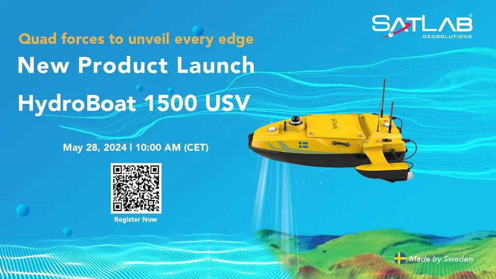
SatLab Unveils the hydroboat 1500: A New Era in Unmanned Surveying
On May 28th, SatLab officially launched its latest unmanned surface vessel (USV), the hydroboat 1500, marking a notable advancement in unmanned surveying technology.
The HydroBoat 1500 is designed with cutting-edge features that enhance its reliability and autonomous capabilities, optimizing its performance for surveying tasks. Key attributes include:
- Streamlined Operation for all Users: The user-pleasant control interface allows operators, regardless of experience, to deploy and manage the USV with ease.
- Enhanced Power and Stability: The quad-thruster system combined with an improved hull design ensures precise maneuverability in various water conditions.
- Adaptability for Multiple uses: With a payload capacity of up to 60 kg, the vessel can support a range of sensors, making it suitable for various applications.
- Integrated Intelligence: This USV is equipped with sophisticated features that ensure high reliability and autonomous operation, maximizing its surveying capabilities.
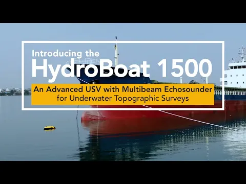
SatLab’s HydroBoat 1500 is set to revolutionize the approach to underwater topographic surveys for its users.
Explore the capabilities of the HydroBoat 1500 USV on the satlab website and see how it can enhance underwater exploration.


