
Revolutionizing LiDAR Data Processing with CoProcess
CHC Navigation (CHCNAV) has unveiled CoProcess, a cutting-edge software solution aimed at enhancing the post-processing of extensive point cloud datasets collected via UAV (unmanned aerial vehicle) and mobile LiDAR technologies.
Streamlined User Experience
equipped with advanced algorithms and a highly intuitive interface, CoProcess efficiently converts raw scanning data into superior outputs suitable for engineering and geospatial tasks. The software’s automation features substantially boost the efficiency of LiDAR data processing.
Modular Design for Enhanced Productivity
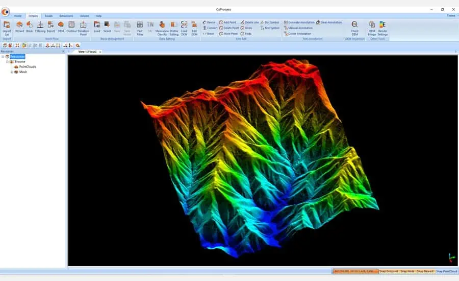
The CoProcess interface is divided into four distinct modules: Foundation, Terrain, Road, and Volume. Each module includes helpful wizards and a extensive user manual to assist newcomers. The customizable layout and support for the CoData point cloud format enhance productivity when handling and visualizing large datasets.
Seamless Integration with Industry Standards
Final outputs can be exported in widely-used formats like DXF or DAT, ensuring smooth integration with third-party applications such as CAD and ArcGIS. This interoperability enhances project workflows by bridging various software platforms.
Comprehensive Processing Capabilities
CoProcess features custom modules that guide users through a streamlined process from data import to final output. Essential processing functions include ground point classification, feature extraction, contour generation, and automated creation of Digital Elevation Models (DEMs) and Digital Surface Models (DSMs). Specialized noise filtering and data optimization algorithms tailored for large datasets ensure rapid processing and precise results.
Advanced Volume Analysis
The software offers volume calculations using the grid method, with the option to export results in DXF format. Additionally, it can assess volume discrepancies between two phases and produce detailed reports. Points classified within CoProcess or derived from a DEM can serve as a foundation for generating contour lines. The software differentiates between mathematical contours and various smoothing techniques for cartographic representations.
Expert Insights
Jax Fu, the supervisor of the CHC Navigation Mapping product line, stated, “CoProcess software simplifies the management of intricate point cloud data, unlocking the full potential of LiDAR scanning for geospatial applications. We encourage all mapping professionals to explore the capabilities of our 3D reality capture ecosystem.”


