
Kongsberg Geospatial Introduces TerraLens 9.4: A Leap Forward in geospatial SDK
Kongsberg Geospatial has officially released TerraLens 9.4, the newest iteration of its advanced geospatial software development toolkit.
This latest version is packed with innovative features and enhancements aimed at equipping developers and engineers to craft outstanding geospatial visualization applications tailored for high-performance environments.
TerraLens has been utilized in some of the most challenging and critical global scenarios, including systems like AEGIS, Triton, THAAD, NATO AWACS, and the Joint Battle command-Platform.
Key Enhancements in terralens 9.4
TerraLens 9.4 introduces considerable upgrades in several key areas:
- Map and elevation formats
- Visualization capabilities
- Compiler and operating system compatibility
- New map formats
- Performance improvements
Advanced Map and Elevation Formats
LiDAR Elevation Data: The new version supports the display of LiDAR as elevation data, allowing users to access highly detailed and precise elevation data.
ECRG (Enhanced Compressed Raster Graphics): Enhanced support for ECRG, utilized by the US Military, ensures more efficient use of raster graphics, resulting in improved visual clarity.
enhanced Web Map Integration: TerraLens 9.4 offers better support for web maps, including Web Map Service (WMS) and Web Map Tile Service (WMTS), facilitating seamless integration with various mapping resources.
Enhanced Visualization Features
Heat Map Density Visualization: The introduction of a heat map density display feature provides a flexible and intuitive method for visualizing data density on maps, equipping developers with essential tools for improved situational awareness.
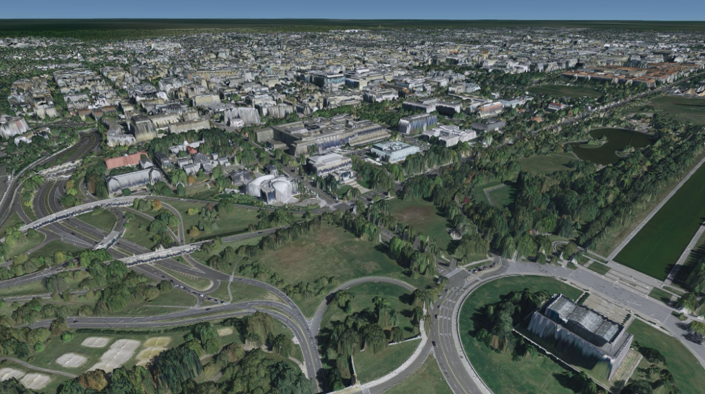
Support for High-Resolution Data: TerraLens 9.4 accommodates high-resolution and data-intensive formats through OGC 3D Tiles and Point Cloud displays, making it notably effective for creating engaging urban visualizations.
Military Symbology Support: This release includes support for MIL-STD-2525D and APP-6B symbol sets, ensuring alignment with the latest military symbology standards.
Optimized Radial Grid: The new optimized Radial Grid leverages GPU capabilities for real-time updates of numerous data points while maintaining memory efficiency.
Compiler and Operating System Compatibility Updates
Support for Visual Studio 2022 and .NET 6: TerraLens 9.4 now includes compatibility with Visual Studio 2022 and .NET 6, providing developers with the latest tools for development.
redhat 9 with GCC 11.2.1: This version also supports RedHat 9 with GCC 11.2.1, broadening compatibility across various operating systems.
New Map formats Introduced
S-101 Electronic Navigational Chart Support: TerraLens 9.4 adds support for S-101 Electronic Navigational Charts (ENC), as defined by the International Hydrographic Organization (IHO). This dynamic format is set to replace the older S-57 ENC format.
Support for netCDF and GRIB Data: The SDK now accommodates netCDF and GRIB data formats, expanding the range of geospatial data options available to users.
MBTiles and Terrain RGB Support: TerraLens 9.4 includes support for MBTiles and Terrain RGB, simplifying access to these data formats from the MapTiler server.
Performance Improvements
Multithreading Capabilities: TerraLens 9.4 enhances map processing through multithreading, resulting in quicker loading times and smoother visualizations, ensuring a more responsive user experience.
Kongsberg Geospatial emphasizes that TerraLens 9.4 reflects the company’s dedication to delivering cutting-edge geospatial tools for engineers and developers.
President Jordan Freed stated, “The terralens team has once again showcased their innovative spirit and commitment to excellence with the evolution of our map engine, which has consistently proven to be the leading solution for geospatial applications that support mission-critical decisions. We take pride in our legacy and look forward to the future as we celebrate the launch of 9.4 while continuing to explore new frontiers.”
for further details on TerraLens 9.4 and its potential benefits for your geospatial development projects, please visit: www.kongsberggeospatial.com.


