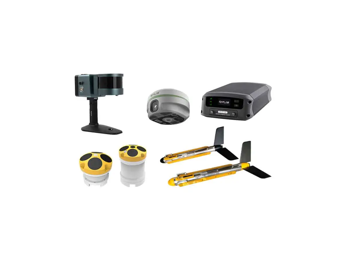
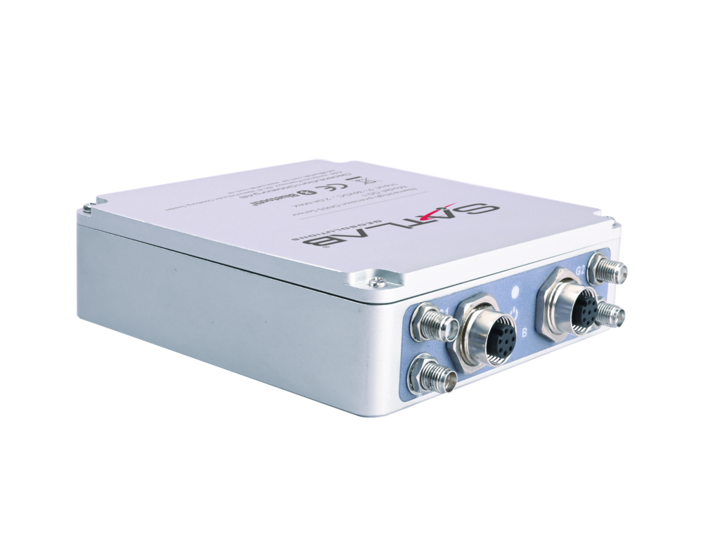
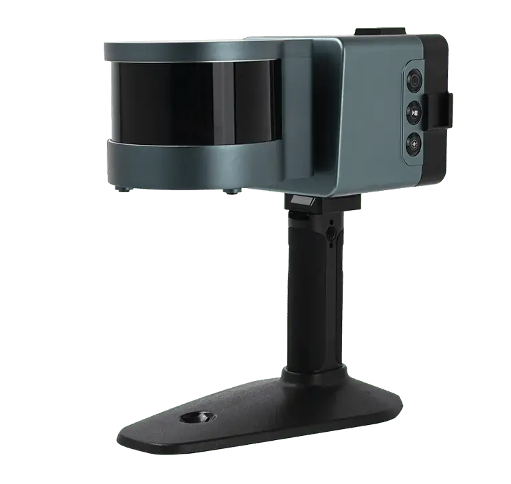
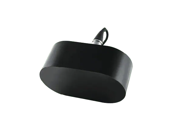
At the upcoming Ocean Business event from April 18-20 in southampton, UK, SatLab Geosolutions will showcase an innovative solution tailored for the marine and water resource sectors.
The SatLab Integrated Marine System is designed to facilitate precise data collection, analysis, and navigation across a variety of marine applications.
Highlights of the SatLab Integrated Marine System
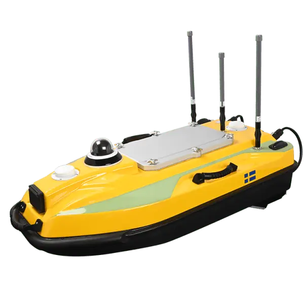
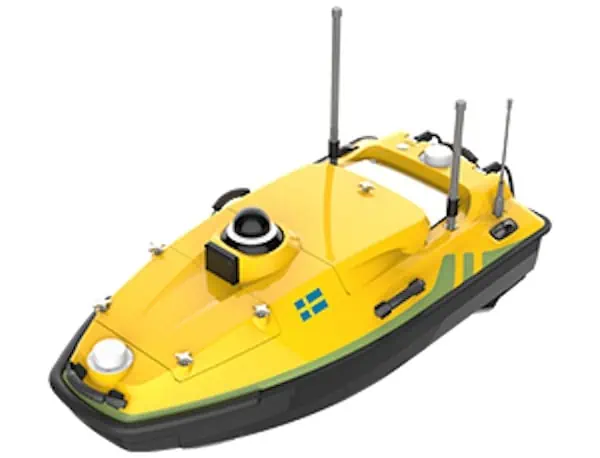
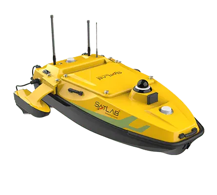
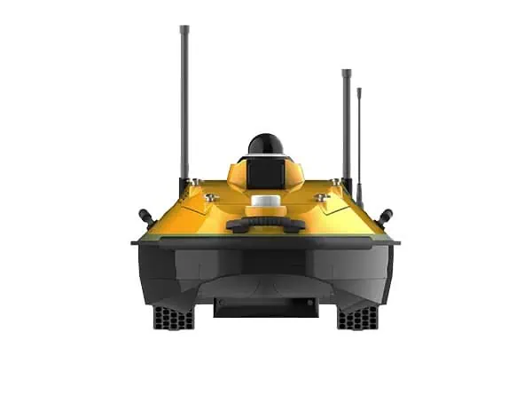
- HydroBoat 990: Android USV
- The HydroBoat 990 Unmanned Surface Vessel (USV) features user-friendly Android software and a practical design, ensuring high accuracy and exceptional technical performance. this USV serves as a robust platform for integrating side scan sonar, echosounders, ADCPs, and GNSS receivers. It can operate autonomously or via remote control, enhancing safety, efficiency, and adaptability for diverse marine missions.
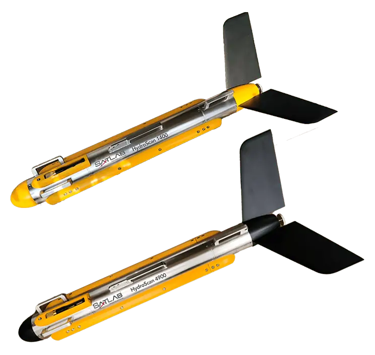
- HydroScan 900P: Side Scan Sonar
- The HydroScan 900P is a compact and highly integrated side scan sonar system that provides detailed imaging of the seabed. This technology allows users to locate objects, evaluate seabed conditions, and perform environmental assessments. It offers the versatility to switch between Continuous Wave (CW) and CHIRP modes across multiple frequencies—100kHz, 400kHz, or 900kHz—delivering enhanced clarity for object detection, dredging, and various industry applications.
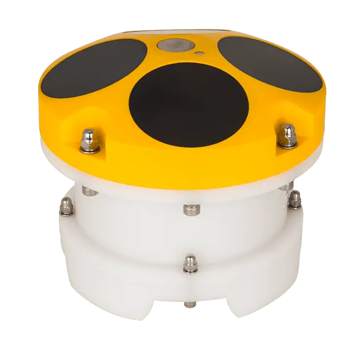
- HydroFlow 600 & 1200: Acoustic Doppler Current Profilers
- According to SatLab, the HydroFlow 600 and 1200 models excel in capturing precise data from deep ocean environments. These direct-reading ADCPs are versatile and can be deployed on various platforms, including trimarans, USVs, buoys, and seafloor mounts. Wiht a measurement range of 75m/25m, they are ideal for monitoring river and canal discharges, offshore activities, and other engineering projects.
- HydroBeam M4: Multibeam Echosounder
- The HydroBeam M4 provides precise depth measurements and underwater profiling, essential for bathymetric data collection, safe navigation, subsea construction, and habitat mapping.
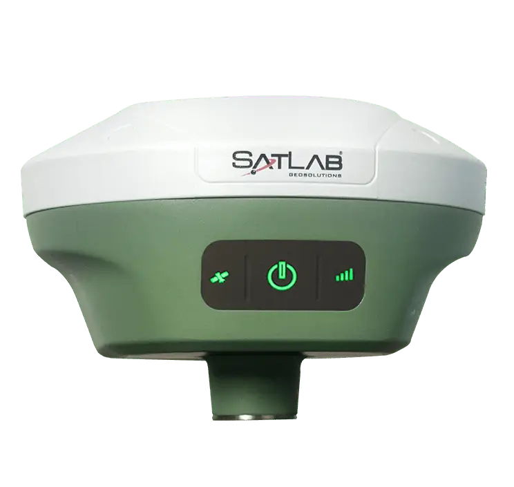
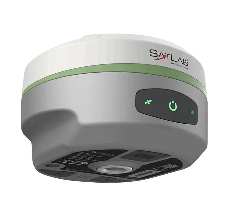
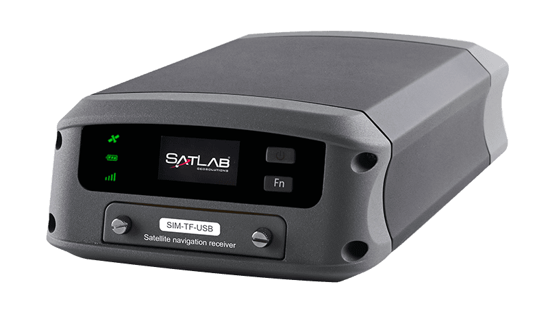
- Njord: Heading GNSS Receiver
- The Njord receiver offers high-precision positioning, navigation, and timing data, supporting various applications such as hydrographic surveys, offshore operations, and coastal management.
By integrating these advanced technologies, the SatLab Integrated Marine System provides a thorough solution for a wide array of marine applications, streamlining operations and delivering a reliable, efficient, and cost-effective service to clients.
Applications of the SatLab Integrated Marine System
- Seabed mapping and imaging
- Detection and identification of underwater objects
- Hydrographic and topographic surveys
- Inspection and maintenance of subsea infrastructure
- Environmental monitoring and assessment
- Oceanographic research and data collection
- Coastal and offshore engineering projects
- marine engineering measurements
- Navigation and positioning
- Monitoring displacement of operational platforms
- Tide level monitoring


