Enhancing Hydrographic Surveys: A Comparison of Singlebeam and Multibeam Technologies
SatLab Geosolutions emphasizes the growing necessity for accurate hydrographic surveys due to the surge in commercial activities on inland waterways in their article, “Singlebeam vs. Multibeam: Advancing Underwater Surveying efficiency.”
Case Study: The Shiqiao Waterway
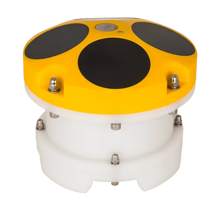
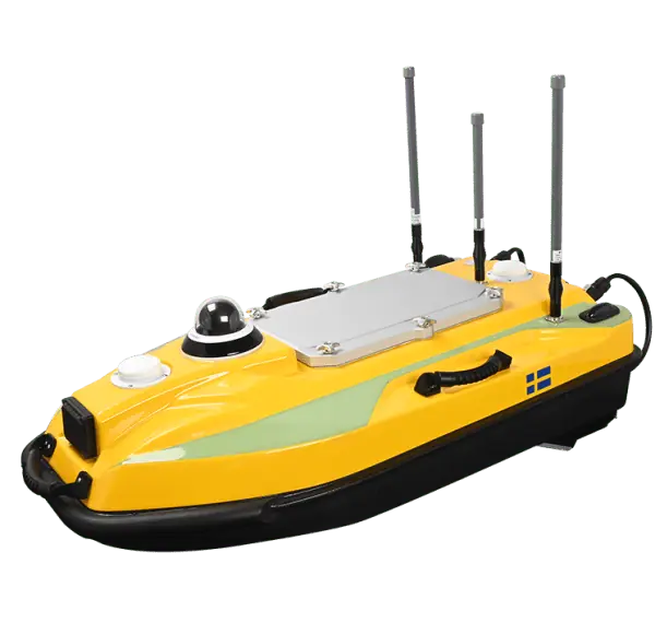
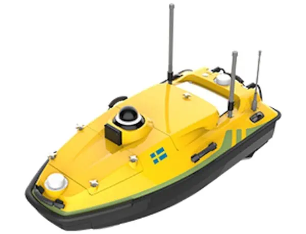
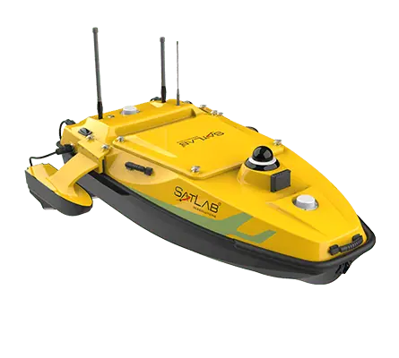
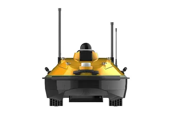
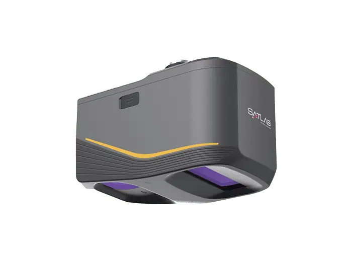
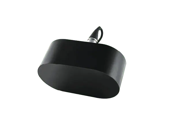
Examining the Shiqiao Waterway, a vital shipping corridor, the research contrasts the conventional singlebeam technique utilizing the HydroBoat 1200 USV equipped with a 200 kHz echosounder against the sophisticated HydroBoat 1500 USV, which features the HydroBeam M4 multibeam system. While the singlebeam method is user-friendly and cost-effective, it only captures a single depth measurement per ping, making it more appropriate for straightforward, smaller-scale surveys.
Advantages of Multibeam Technology
On the other hand,the multibeam system can gather up to 1,024 depth measurements per swath,facilitating the creation of high-resolution 3D seabed models and completing surveys at a pace three times quicker than its singlebeam counterpart. With reduced operator intervention and advanced onboard data processing capabilities—including sound velocity adjustments and noise reduction—the multibeam technology significantly enhances both the quality of data and operational efficiency.
accuracy and Submission
Both survey systems adhere to industry accuracy benchmarks, with singlebeam achieving a confidence level of 95.35% and multibeam reaching 97.72%. However, the multibeam’s capacity to produce dense point clouds makes it notably suited for mapping intricate underwater features, such as sand waves and submerged obstacles.
Conclusion: Choosing the Right Technology
The article concludes that while singlebeam surveys are still effective for routine or smaller projects, multibeam technology has emerged as the preferred choice for extensive, high-precision hydrographic endeavors. Its efficiency, accuracy, and capability to facilitate detailed analyses position it as an essential instrument for contemporary waterway management.
Explore the complete article >>


