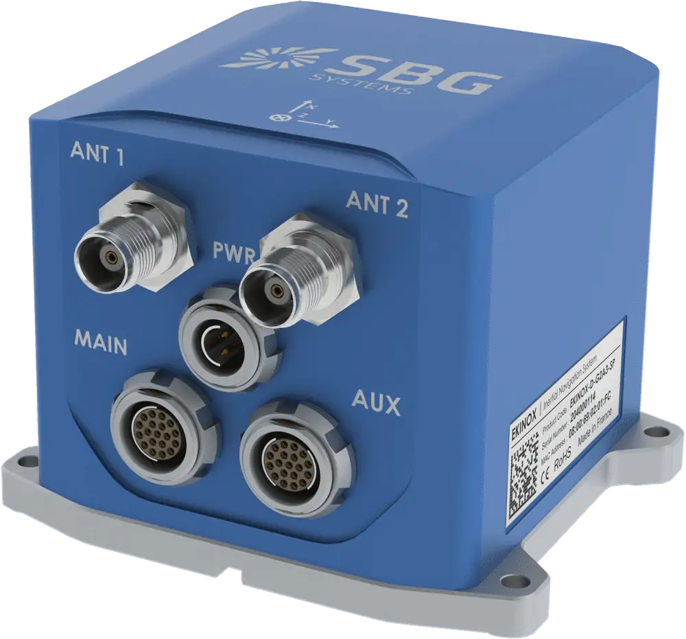
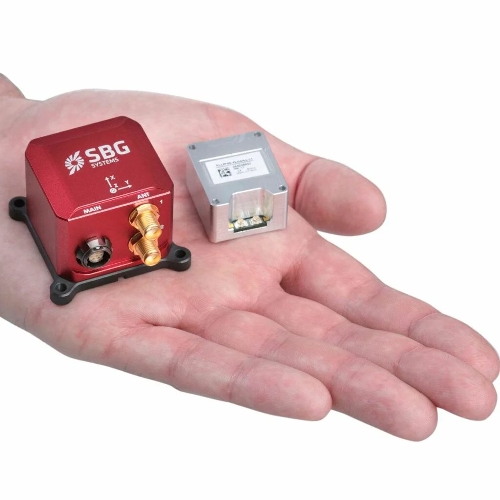
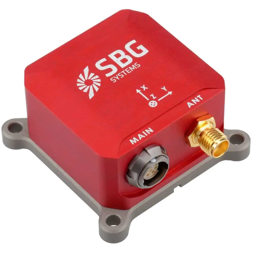
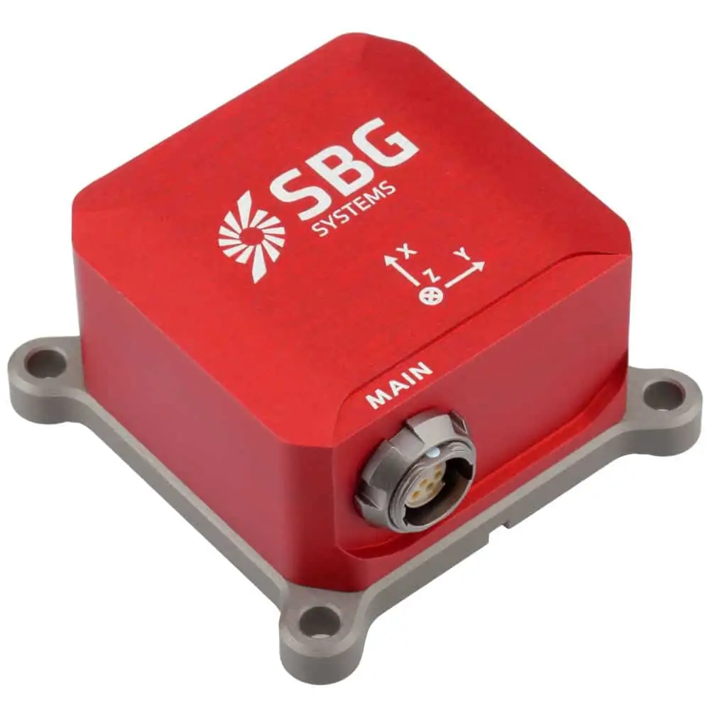
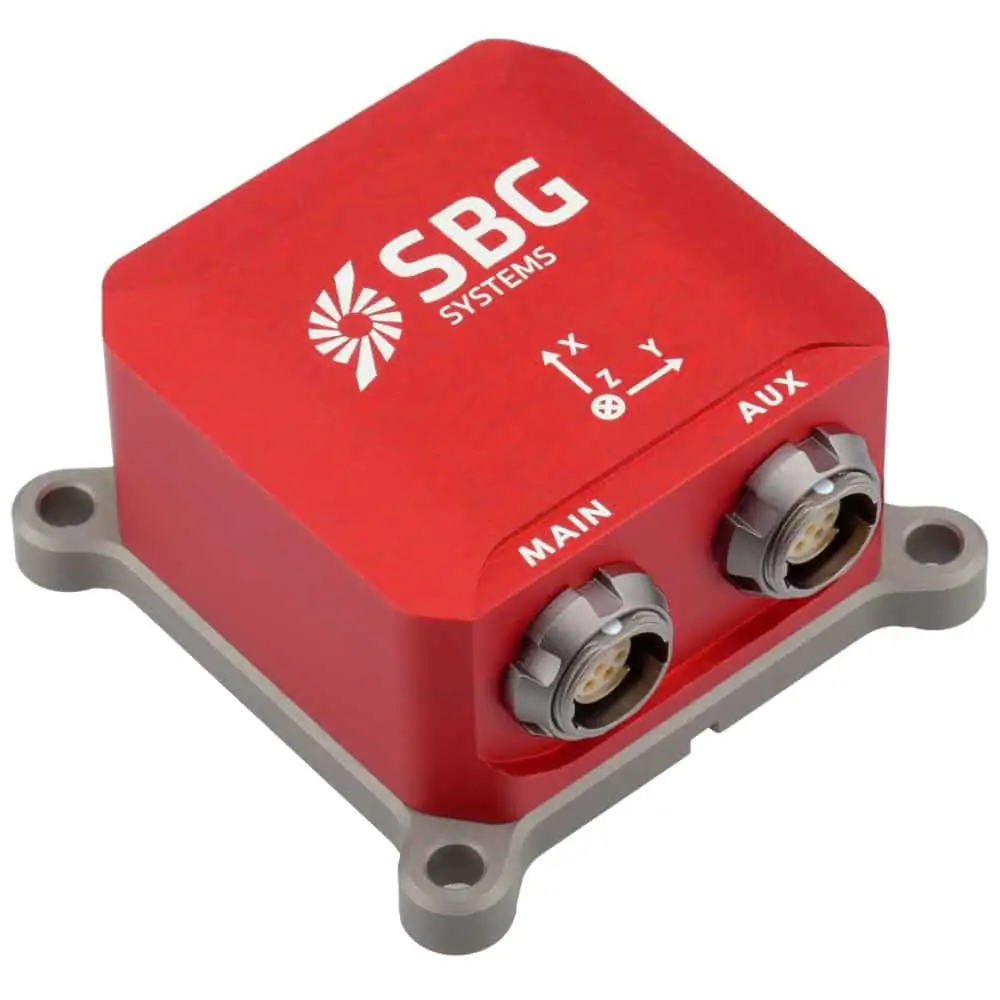
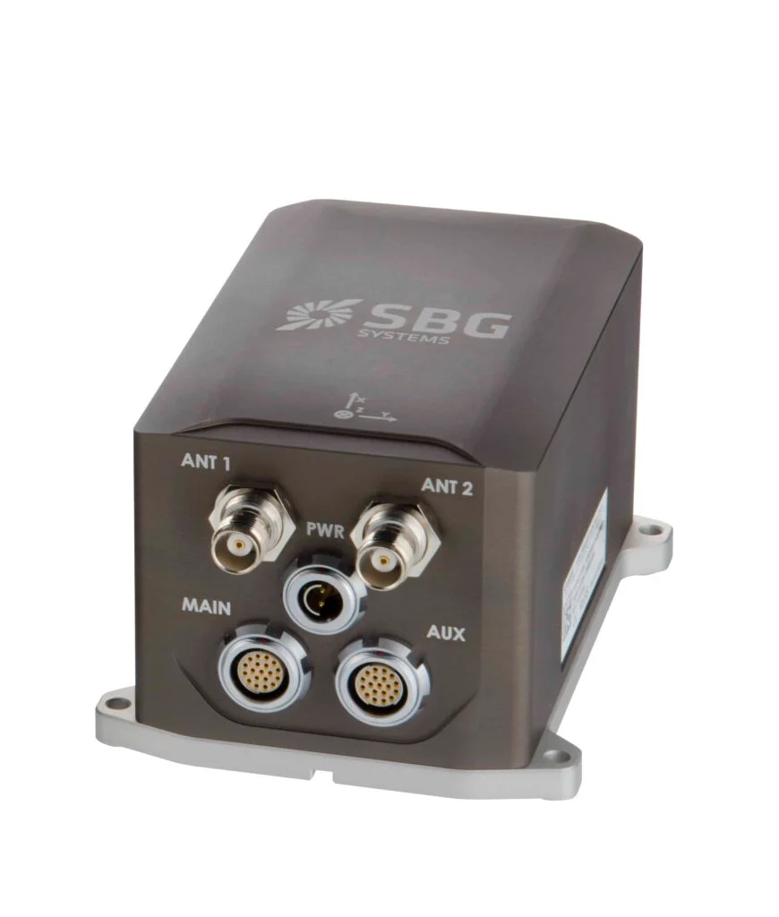
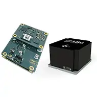
The Ellipse2-D dual-antenna GNSS-aided Inertial Navigation System (INS) from SBG Systems has been successfully incorporated into a self-driving tractor created by the South Korean firm Unmanned Solution. This company is at the forefront of autonomous vehicle technology and is revolutionizing agricultural machinery in South Korea, having introduced an advanced auto-guidance system and a self-driving algorithm tailored for the local agricultural landscape.
This auto-guidance system comprises a GPS/GNSS module that ensures precise positioning, an auto-steering mechanism, and a control interface that enables users to configure parameters and outline the vehicle’s route.It effectively manages and relays data on position, orientation, and speed, allowing the tractor to adhere to its designated path.
Integrated within the GPS/GNSS module, SBG Systems’ Ellipse2-D INS provides essential data on positioning, roll, pitch, and heading, enabling the system to track the tractor’s movements and make necessary adjustments. The Ellipse2-D sensor, a dual-antenna RTK GNSS/INS, is particularly suited for slower-moving platforms like this tractor, which demand high precision in heading due to their low dynamic nature.A dual-antenna inertial system offers superior heading accuracy compared to a single-antenna setup, even when stationary, making it ideal for autonomous vehicles operating in low-dynamic environments.
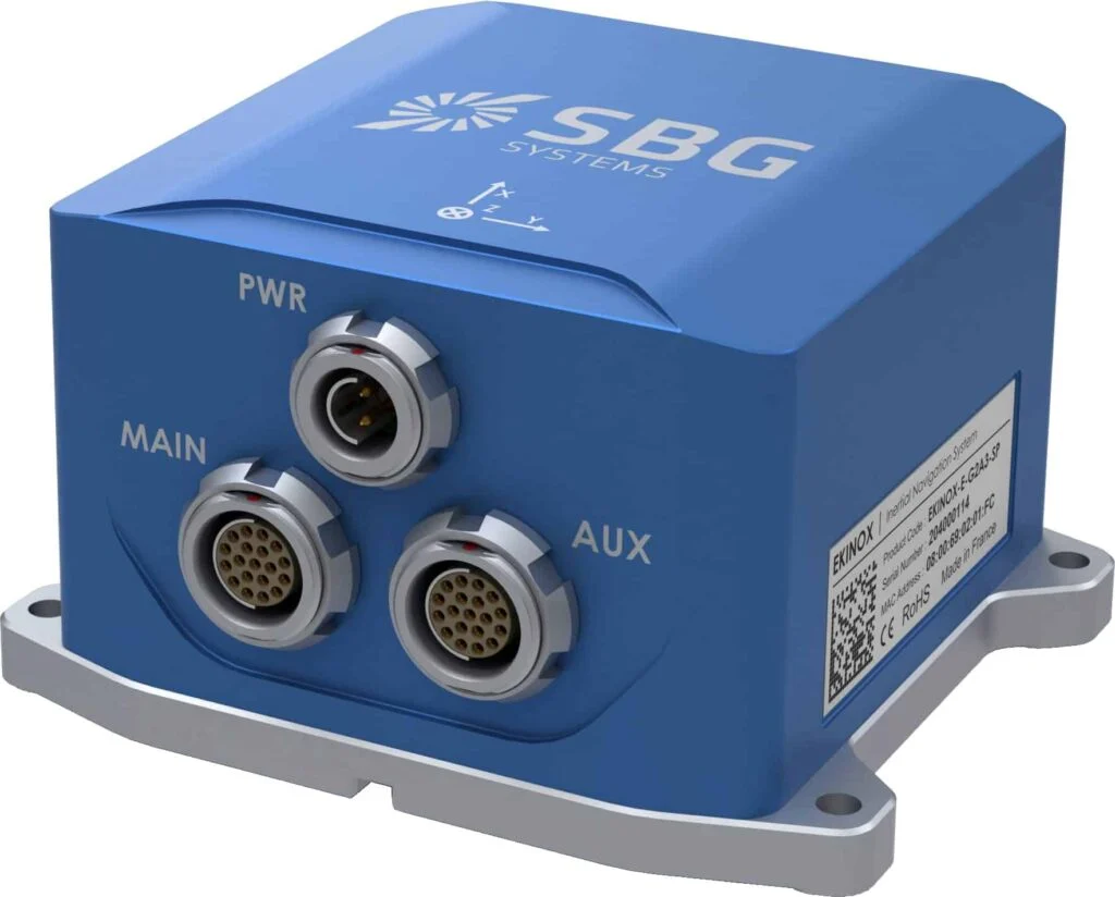
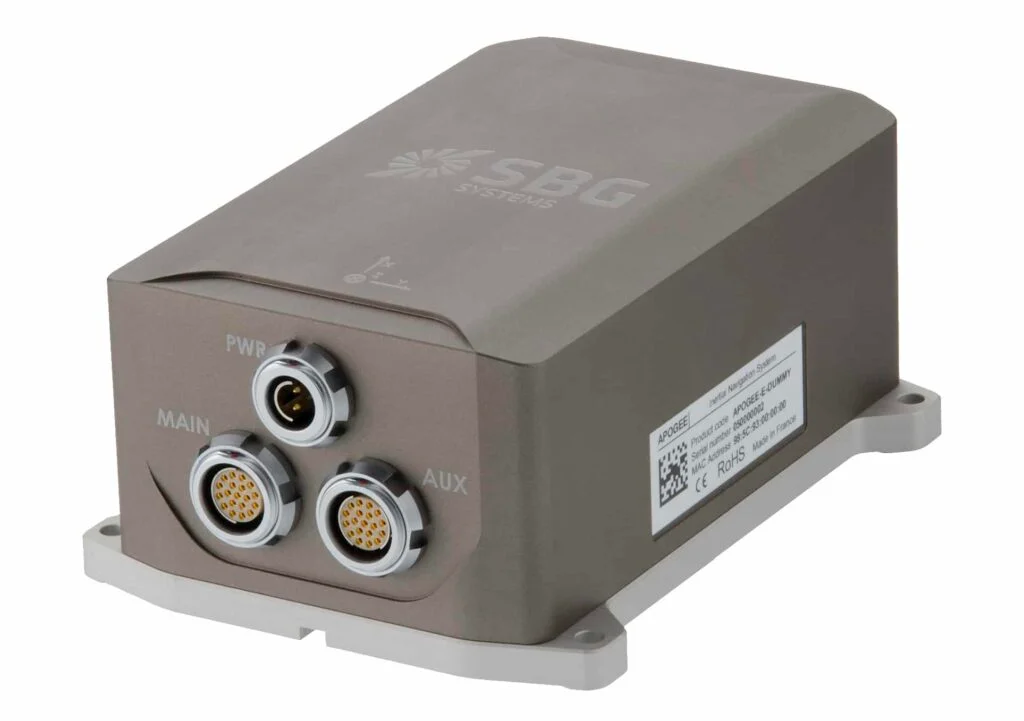
In addition, Unmanned Solution is in the process of developing a driverless autonomous pesticide applicator. Their current lineup features a variety of autonomous solutions that extend beyond agriculture,all equipped with either the SBG Systems Ellipse or Ekinox RTK GNSS/INS,depending on the specific performance and accuracy requirements. these autonomous innovations include:
WITH:US Autonomous Shuttle – This shuttle functions as an on-demand public transport option in smart cities, utilizing Velodyne LiDAR technology, SBG Systems RTK INS/GNSS, multiple cameras, and controllers to assess its environment and determine optimal routes. It is designed for short-distance travel, serving areas such as campuses, industrial zones, airports, and urban centers.
WITH:US LOGI Autonomous Logistics Robot – This robot facilitates both indoor and outdoor short-distance deliveries. It can access locations that traditional vehicles cannot, allowing customers to select their preferred delivery date, time, and location.
WITH:US CARO – Tailored for long-distance and bulk deliveries, this vehicle boasts a spacious cargo area and can carry loads of up to 1,500 kg.
WITH:US SECURITY Robot – A self-driving security robot designed for short-distance travel across various environments. It features obstacle recognition technology for outdoor applications and can function as a patrolling unit.


