RIEGL has unveiled a captivating video showcasing the flight capabilities of their newly introduced RiCOPTER UAV laser scanning system.
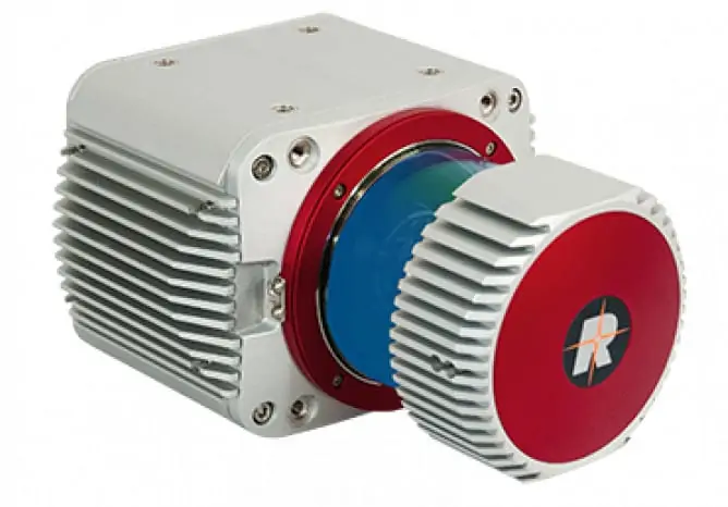
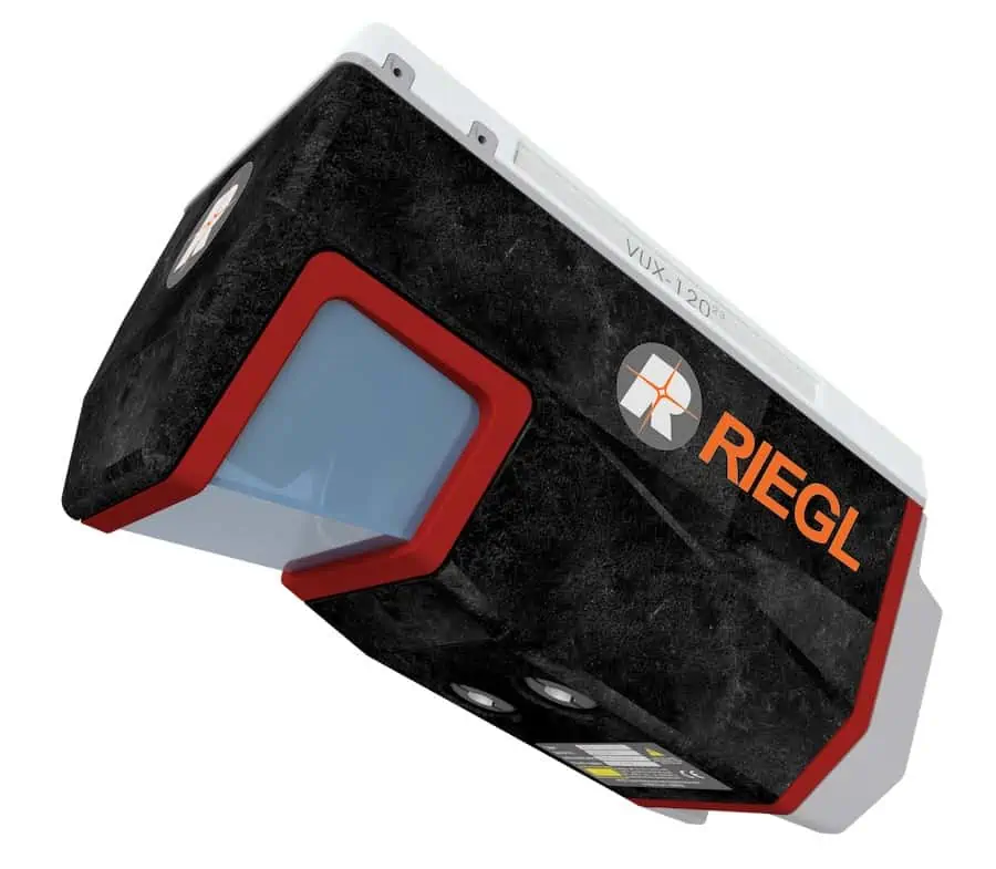
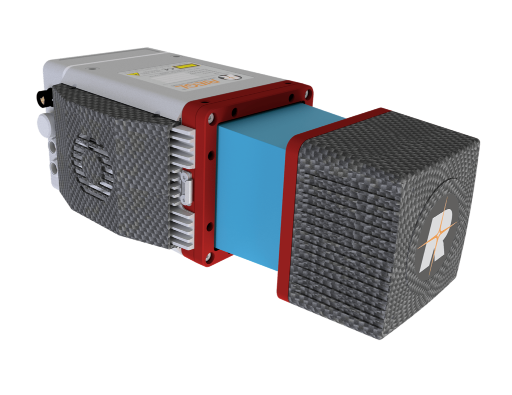
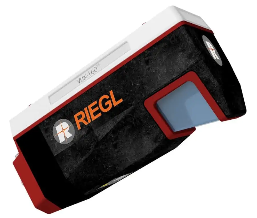
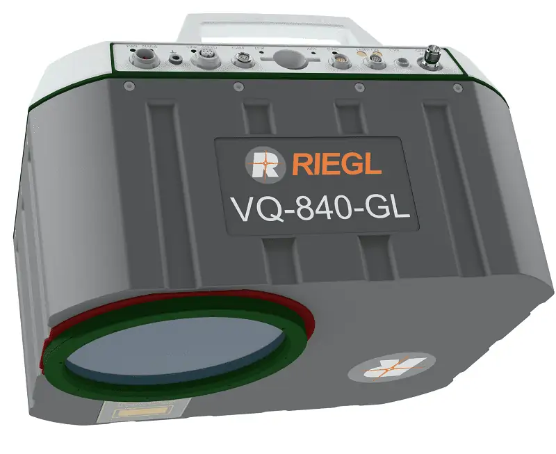
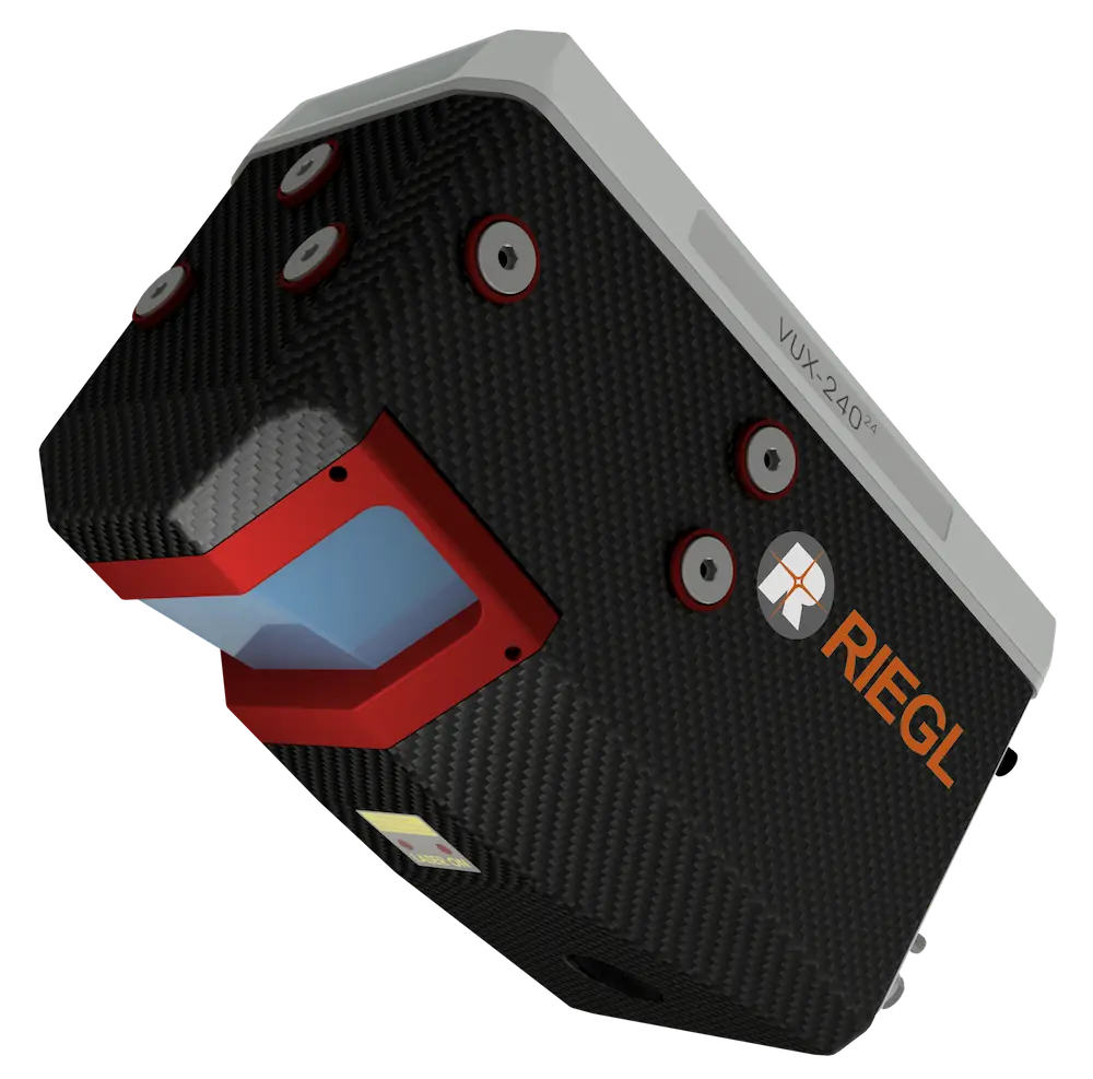
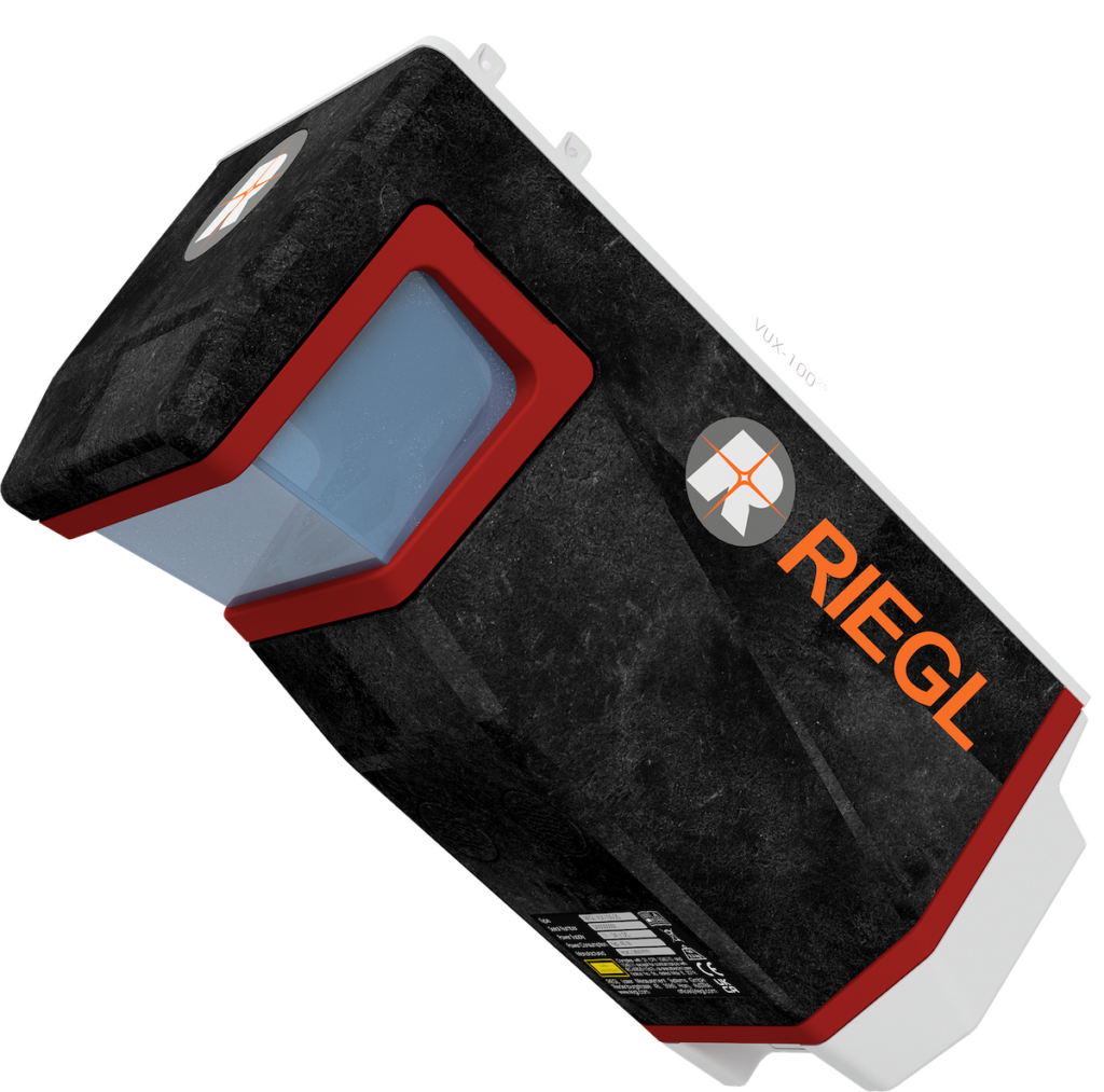
The RiCOPTER represents a cutting-edge UAV that can be outfitted with the RIEGL VUX-1, a survey-grade LiDAR sensor, delivering a comprehensive, integrated solution. This innovation signifies the first fully realized UAS LiDAR offering from a single manufacturer.
Designed for durability and reliability, the RiCOPTER platform features a seamlessly integrated RIEGL VUX LiDAR sensor, an IMU/GNSS unit complete with an antenna, a control unit, and the option too include up to four cameras.This setup boasts impressive measurement capabilities: a 330-degree field of view, 500,000 measurements per second, and an accuracy of 10mm.
This Class 1 unmanned aerial system can operate at a maximum altitude of 550 meters, with a take-off weight of up to 25kg and a payload capacity of 16kg, allowing for an extended flight duration of 30 minutes.
The flight performance of the RiCOPTER is characterized by its smooth and stable hovering, as well as its agility during complex maneuvers in challenging environments.
VIDEO: Presentation of RIEGL RiCOPTER Flight


