SatLab Geosolutions Unveils Cutting-Edge Technology at CSPI-EXPO 2025
SatLab Geosolutions showcased it’s groundbreaking advancements in geospatial technology during the CSPI-EXPO 2025,a prominent event focused on construction,civil engineering,and surveying,which took place in Chiba,Japan from June 18 to 21.
Innovative Solutions for Surveying and Construction
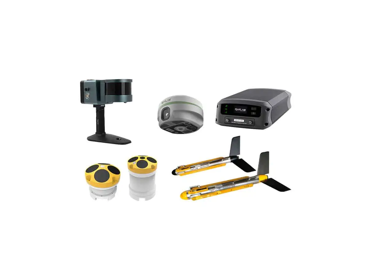
The company’s exhibition featured a diverse array of solutions specifically designed to tackle challenges in surveying and construction.SatLab’s integrated hardware and software systems were highlighted for their ability to enhance workflow efficiency and accuracy in complex project environments.
Spotlight on Geospatial Technologies
Among the key innovations presented was the SP200 Site Pilot, an advanced tool that utilizes AI for auto-tracking, facilitating the transfer of design points from CAD directly to the field. This feature allows for efficient operation by a single user, supported by its 360° AI tracking and user-pleasant Android touchscreen, making it particularly suitable for construction layout and machine guidance.
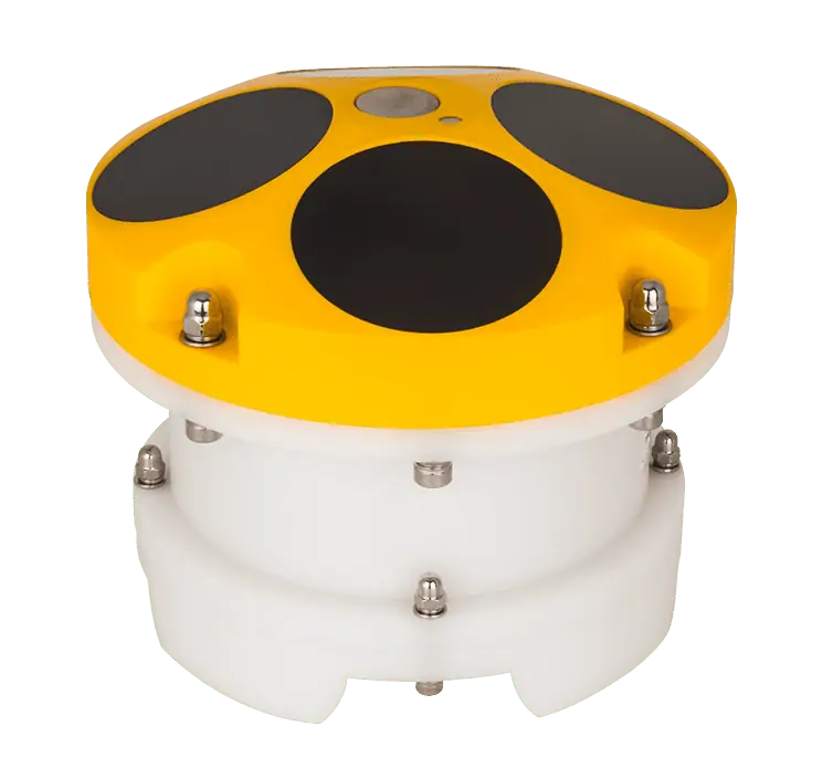
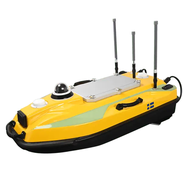
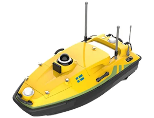
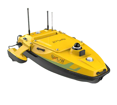
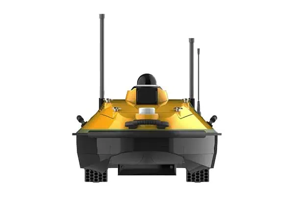
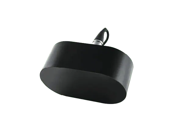
Another highlight was the HydroBoat 1200MB USV Multibeam Solution, a state-of-the-art unmanned surface vehicle equipped with the hydrobeam M2 echo sounder.This technology enables rapid, high-resolution multibeam surveys in both inland and nearshore environments.
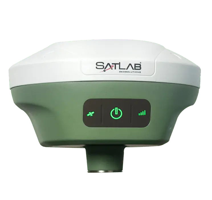
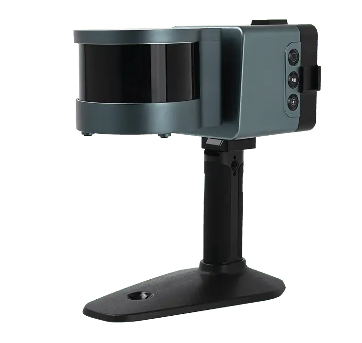
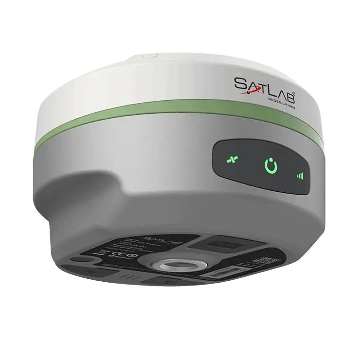
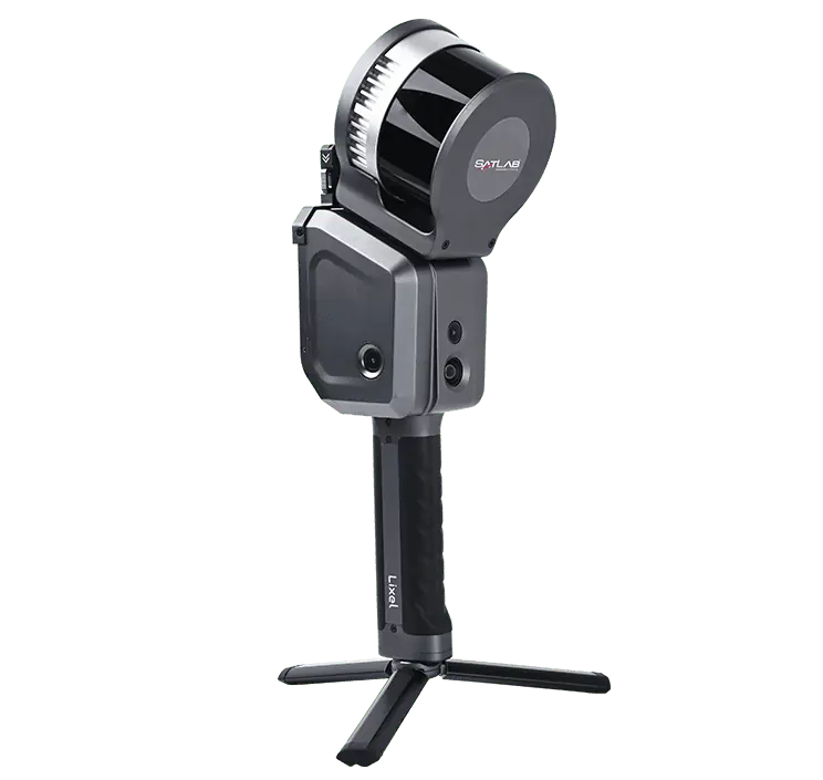
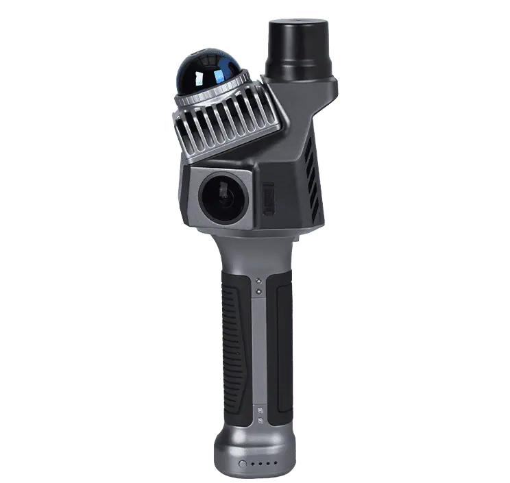
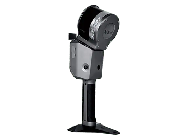
Additionally, the SL9 SLAM RTK and LS1 SLAM Scanner were showcased, offering dependable positioning and detailed 3D scanning capabilities in environments where GNSS signals are weak, such as tunnels and indoor spaces.
Advanced Machine Control Solutions
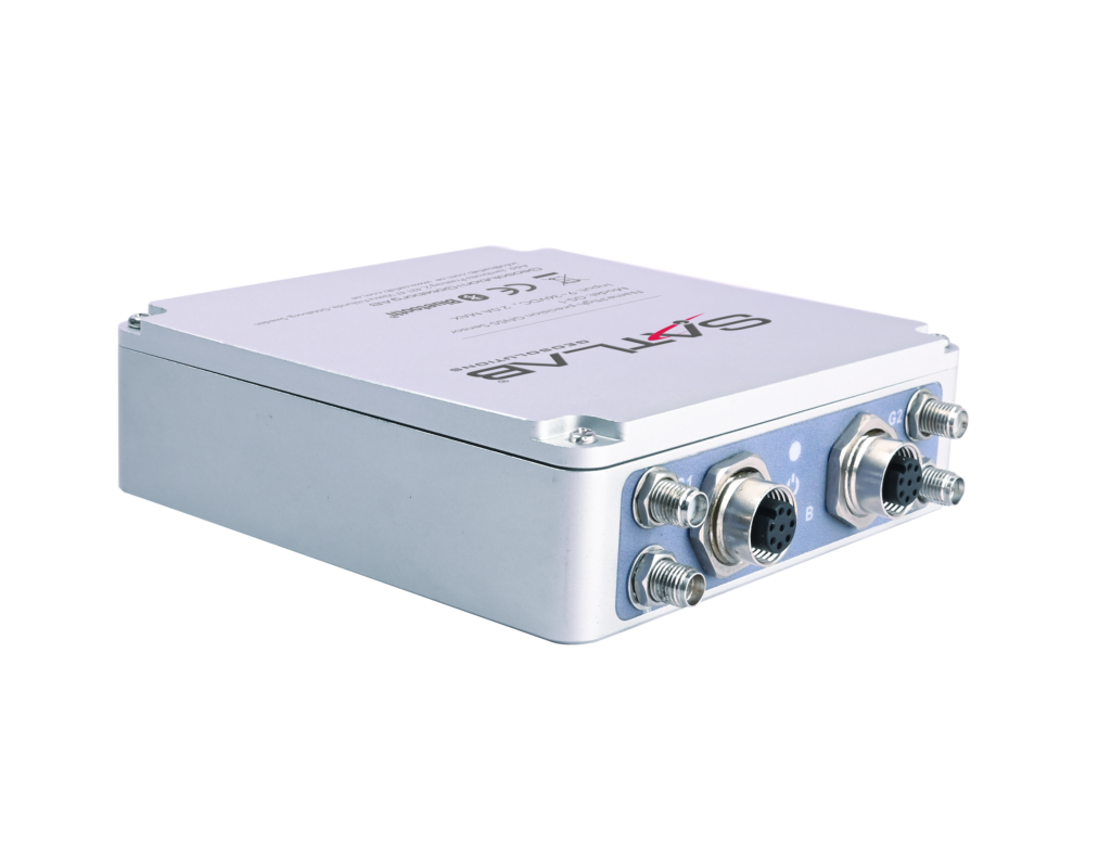
SatLab also introduced its ECS Series Machine Control Solutions, which provide intelligent control systems for various heavy machinery, including excavators, bulldozers, graders, and piling rigs.These systems leverage SatMC onboard software and a centralized cloud platform to deliver real-time guidance, enhance precision, and optimize earthmoving tasks.
Engaging Live Demonstrations
Throughout the expo, SatLab hosted a series of interactive sessions and live demonstrations, attracting a wide range of professionals, partners, and clients.
Participants had the possibility to gain practical insights into how SatLab’s solutions can enhance on-site operations and project management across various sectors, including surveying, construction, and hydrographic applications.
Feedback from attendees highlighted the seamless integration and cross-platform compatibility of SatLab’s ecosystem, with many professionals noting the significant benefits of streamlined data workflows from the field to the office.


