Experience the Future of LiDAR Technology with YellowScan
Join YellowScan for an exclusive live demonstration of their state-of-the-art topo-bathymetric LiDAR system, the YellowScan Navigator, on Thursday, june 26th, in Montpellier, France.
Event Details
Scheduled from 9:30 AM to 4 PM,this event is tailored for professionals in the fields of geospatial surveying and remote sensing,providing a unique chance to observe the technology in action.
Innovative Mapping Solutions
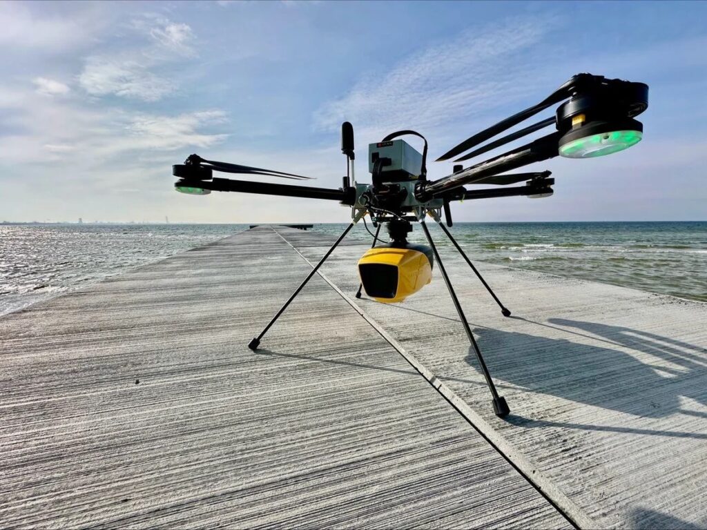
The YellowScan Navigator is engineered for both topographic and bathymetric mapping, ensuring precise and efficient data collection even in challenging environments. Attendees will experience the system’s intuitive single-button operation, which simplifies the data acquisition process across various surveying tasks.
Showcasing CloudStation Software
A key feature of the event will be the demonstration of YellowScan’s CloudStation software. This tool is designed to optimize the post-processing workflow, significantly boosting productivity through automated water classification and underwater point correction, resulting in high-quality data with minimal manual intervention.
Interactive Learning Experience
The agenda includes a live data acquisition session, real-time data processing demonstrations, and an in-depth presentation of YellowScan’s product offerings. Participants will also have the chance to engage with YellowScan specialists during a dedicated Q&A session, gaining insights into the system’s capabilities and potential deployment scenarios.
About yellowscan
YellowScan is a leader in the design and production of UAV LiDAR solutions that seamlessly integrate with aerial platforms. With a commitment to performance, reliability, and user-friendliness, their solutions are utilized worldwide in sectors such as forestry, environmental monitoring, civil engineering, and coastal mapping.
Enhancing Survey Efficiency
This live demonstration is an invaluable opportunity for industry professionals to discover how the YellowScan Navigator can significantly improve survey efficiency and accuracy in both terrestrial and aquatic environments.
Learn more and register for the event.


