
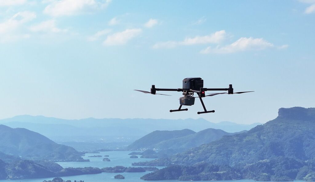
Introducing the X500 Multirotor Drone: A Leap in Precision Aerial Technology
CHC Navigation (CHCNAV) has unveiled the X500 Multirotor Drone, a cutting-edge solution tailored for high-precision aerial tasks.
Versatile Applications for Modern Needs
Designed with advanced flight control systems and a robust payload capacity, the X500 excels in various fields such as land surveying, urban surveillance, emergency management, disaster response, and infrastructure assessment.
State-of-the-Art Technology for Enhanced Performance
The X500 features dual GNSS systems, triple IMU redundancy, and millimeter-wave radar, ensuring accurate obstacle detection. Its video transmission technology provides stable HD feeds over distances reaching up to 20 kilometers,while V-SLAM visual positioning guarantees precision for operations like landing on dynamic surfaces.
Extended Flight Capabilities and Efficient Power Management
Equipped with an innovative power system, the X500 boasts an impressive flight duration of up to 58 minutes. The BS10 charging station can recharge six batteries from 20% to 90% in just 40 minutes, significantly reducing downtime during prolonged missions. Additionally, its hot-swappable batteries facilitate uninterrupted flight operations.
Robust Payload and Environmental Resilience
With a payload capacity of 5 kilograms, the X500 can sustain flight for 58 minutes, or approximately 50 minutes when equipped with the CHCNAV AA10 lidar system. The drone’s open SDK and compatibility with the mavlink protocol allow for seamless integration with CHCNAV sensors and third-party devices. Its IP55 rating and capability to operate in winds up to 12 m/s ensure dependable performance in challenging conditions.
SmartGo Software: Simplifying Aerial Operations
The X500 is complemented by CHCNAV’s SmartGo ground control software,which streamlines mission planning and offers real-time flight tracking. With various flight path options and beyond visual line of sight (BVLOS) capabilities, SmartGo guarantees safe and efficient operations while maintaining comprehensive control over mission parameters.
Expert Insights on the X500’s Impact
Byron Yuan, Director of 3D Mobile mapping at CHC Navigation, stated, “The X500 represents a significant advancement in professional UAV technology, delivering outstanding flight performance and adaptable payload options. Its durable design and bright features equip professionals with a trustworthy tool for aerial data acquisition.”


