Designed for precision navigation in complex urban landscapes,the ANELLO Photonics GNSS INS proves to be an ideal candidate for trials on San Francisco’s Market Street—a bustling thoroughfare known for its GNSS signal disruptions and multipath challenges.
This 3.5-mile corridor, characterized by towering skyscrapers, considerably obstructs satellite signals, complicating accurate positioning for autonomous vehicles. A recent case study assessed the performance of ANELLO’s GNSS INS against a leading Inertial Navigation System (INS) competitor under real-world driving conditions.
Challenges of GNSS navigation on Market Street
Urban settings like Market Street pose critically important GNSS navigation challenges due to signal reflections from high-rise buildings and restricted sky visibility. These factors lead to multipath errors, making it challenging for autonomous systems and other applications to achieve reliable positioning. To address these issues, navigation technologies must incorporate advanced sensor fusion and high-precision Inertial Measurement Units (IMUs) capable of compensating for unreliable GNSS signals.
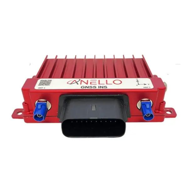
ANELLO GNSS INS: A Cutting-Edge Navigation Solution
The ANELLO GNSS INS is engineered for high-accuracy navigation in intricate environments, seamlessly integrating its proprietary Optical Gyroscope with GNSS data and wheel speed odometry. This combination facilitates precise dead reckoning, even in regions with limited satellite visibility. Notable features include:
-
100 Hz Reference-Grade position, Velocity, and Attitude
-
<0.5º/Hr Unaided Heading Drift
-
200 Hz IMU Output Data Rate
-
multi-GNSS compatibility (GPS, GLONASS, Galileo, BeiDou, QZSS)
-
Reliable in Challenging Multipath and GNSS-Denied Conditions
With applications spanning autonomous vehicles, robotics, logistics, construction, and defense, the ANELLO GNSS INS provides a versatile solution for environments where GPS signals are compromised.
Performance Evaluation
To assess its capabilities, ANELLO’s GNSS INS was installed alongside a comparable high-end competitor’s system on a test vehicle, conducting multiple runs along Market Street. The primary focus was on positional accuracy and heading stability in this challenging environment.
The findings were remarkable:
-
The ANELLO GNSS INS achieved an accuracy within 1 meter of the actual position, even in areas with significant GNSS interference.
-
In contrast,the competing system experienced positional drift of up to 15.5 meters over a 250-meter test segment.
This 15-fold enhancement in accuracy underscores the advanced sensor fusion and optical gyro technology that distinguishes the ANELLO GNSS INS.
For more detailed insights, visit the ANELLO Photonics website.


