Discover how Blue Marble Geographics’ Global Mapper is utilized to simulate tidal flooding in Portland, Maine, featuring tools for projecting water level increases, analyzing tidal data, and pinpointing vulnerable roads and land areas. Learn more > >
The Rising Tide: Challenges for Coastal Cities
As urban coastal regions grapple with the escalating risks of flooding due to rising sea levels and extreme tidal phenomena, refined Geographic Data System (GIS) tools are becoming indispensable for effective planning and enhancing resilience. A recent case study from Portland, Maine—home to Blue Marble Geographics—illustrates the increasing frequency and intensity of tidal flooding, with water inundating city streets during high and king tides.
Harnessing Global Mapper for Flood Modeling
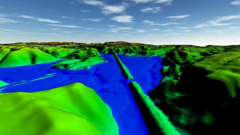
Global Mapper, a robust geospatial analysis software, empowers users to visualize and model coastal flood scenarios in both two-dimensional and three-dimensional formats. By integrating real-time tidal data and simulating potential water level rises across various terrains, global Mapper equips planners, engineers, and local government officials with the insights needed to identify vulnerable areas and evaluate the potential impacts on infrastructure. Features like the Water Level Rise Simulation and Spatial Operations tools enable users to forecast which roads and land parcels are likely to be submerged under specific tidal conditions, thereby informing effective flood response strategies.
Conclusion
In an era where climate change is increasingly affecting coastal communities, tools like Global Mapper are vital for proactive planning and disaster preparedness. By leveraging advanced GIS technology, cities can better understand and mitigate the risks associated with tidal flooding.
Read the original article.


