Revolutionizing Aerial Mapping wiht Cutting-Edge LiDAR Technology
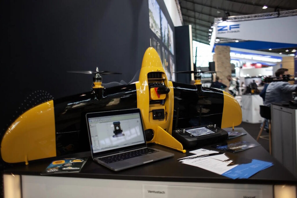
YellowScan, a leader in LiDAR technology for unmanned aerial vehicles, has joined forces with VTR (Ventus-Tech Robotics) Drones to unveil a state-of-the-art LiDAR scanning solution. This innovative system combines a refined payload with a pioneering tailsitter VTOL (Vertical Takeoff and Landing) drone design.
Unmatched Precision and Versatility
Crafted by a skilled team of UAV specialists, this LiDAR scanning solution delivers remarkable accuracy, efficiency, and adaptability for aerial surveying and mapping tasks. The VTR drone, weighing only 3950g including the LiDAR payload, exemplifies a perfect balance of strength and lightweight construction. Its robust yet agile frame guarantees exceptional performance and endurance, even in demanding conditions, making it suitable for sectors such as construction, forestry, agriculture, and environmental assessment.
Enhanced Capabilities with Yellowscan Mapper+
The incorporation of the yellowscan Mapper+ OEM payload substantially boosts the drone’s functionality, enabling precise, real-time 3D data acquisition with outstanding accuracy. The innovative tailsitter VTOL design facilitates a smooth transition from vertical takeoff to horizontal flight, maximizing operational efficiency and making it ideal for use in confined or rugged terrains where conventional UAVs may struggle.
Availability and Upcoming Showcase
This thorough solution is now ready for commercial deployment and will be featured at the 2025 INTERGEO trade exhibition in Frankfurt, Germany, from October 7-9, 2025.


