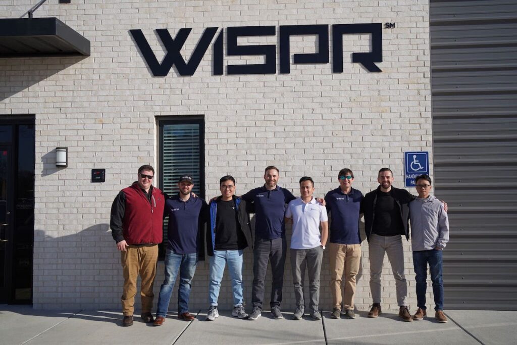
WISPR Systems has partnered wiht Gremsy to develop a specialized drone gimbal tailored for the Sony ILX-LR1 camera.
This bespoke gimbal is engineered for optimal performance on both the Ranger Pro and the latest SkyScout platforms. the collaboration between WISPR and Gremsy guarantees precision, dependability, and exceptional functionality, considerably enhancing the capabilities of their advanced drone technologies.
Overview of the Sony ILX-LR1
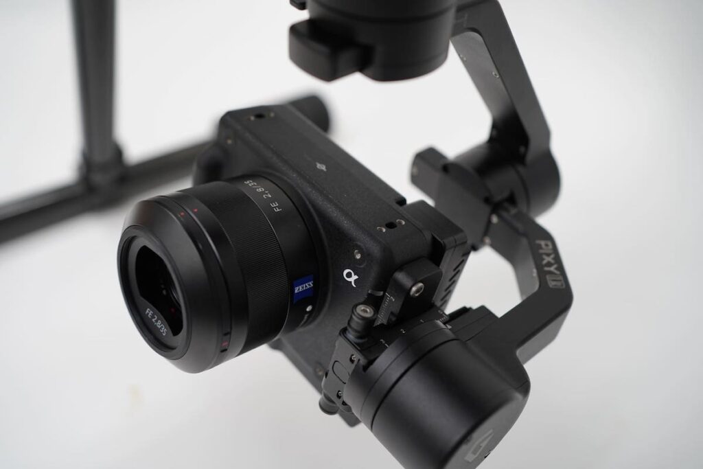
The ILX-LR1 is an advanced camera designed for use in surveying, mapping, and inspection drones, and also construction applications. It features a 61-megapixel full-frame, back-illuminated Exmor R CMOS sensor paired with the BIONZ XR image processor.
This latest model maintains the exceptional image quality previously seen in the a7R V, boasting remarkable resolving power, an extensive dynamic range, and a native ISO range from 100 to 32,000.
The Role of Drones in Modern Infrastructure inspections
The shift from customary manual inspections to digital methods utilizing drones is set to enhance efficiency, safety, and data quality, ultimately leading to improved infrastructure management and decision-making processes.
Utilizing drones for infrastructure inspections presents several significant benefits:
Cost-Effectiveness
Drones can efficiently survey vast areas, minimizing the need for extensive human resources. This efficiency translates into considerable cost reductions compared to conventional inspection methods.
Time Efficiency
Drones can conduct inspections at a much faster pace than human teams,covering large distances and accessing difficult-to-reach locations swiftly. This speed facilitates quicker issue identification and decision-making.
Enhanced Safety
Traditional inspections ofen require personnel to enter hazardous environments. drones mitigate this risk by reducing or eliminating the need for human presence in risky areas, thereby enhancing the safety of inspection teams.
Improved Data Accuracy
Equipped with refined sensors and cameras, drones can capture high-resolution images and detailed data. This data is typically more precise and reliable than manual observations, leading to better-informed decisions.
Increased Accessibility
Drones can reach challenging locations, such as tall buildings, rooftops, or remote sites, ensuring a thorough inspection of infrastructure.
Real-Time Data Collection
Drones offer live video streaming and data transmission, enabling immediate analysis of infrastructure conditions. This timely information allows for rapid responses to emerging issues.
Reduced Environmental Impact
Drones generally have a smaller ecological footprint compared to traditional inspection methods, utilizing less energy and generating fewer emissions, which supports a more sustainable approach to infrastructure assessments.
Extensive documentation
drones can automatically record the entire inspection process, creating a detailed archive of the infrastructure’s condition. This documentation is invaluable for compliance and historical reference.
Proactive maintenance
With timely and accurate data, organizations can adopt predictive maintenance strategies, addressing potential issues before they escalate. This proactive approach can prolong the lifespan of infrastructure and minimize downtime.
Scalability
Drones offer a scalable solution for inspections, allowing organizations to efficiently cover extensive areas or multiple sites.This scalability is notably advantageous for industries with large infrastructure networks.


