Strategic Alliance to Revolutionize Surveying and Mapping
The collaboration between WISPR Systems and InTerra is set to deliver a highly accurate, seamless, and entirely American-manufactured UAV solution tailored for the surveying and mapping sector.
Innovative Solutions from Industry Leaders
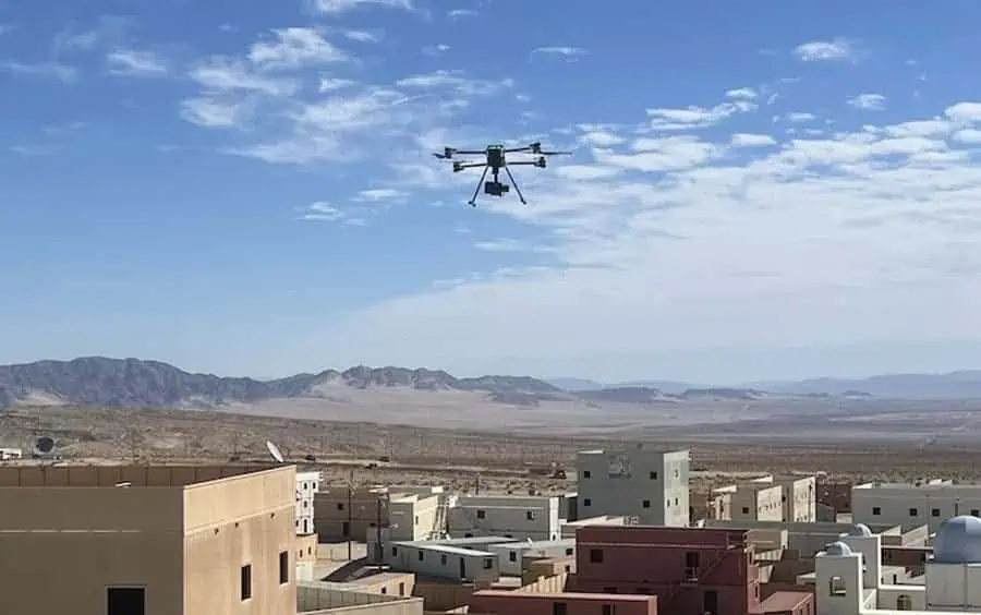
WISPR Systems stands out as a premier provider of advanced drone-based photogrammetry and LiDAR technologies. InTerra, based in Alabama, specializes in SmarTarget systems designed for geospatial applications.
Streamlining Workflows for Enhanced Efficiency
This partnership aims to optimize workflows for professionals in surveying and mapping by merging InTerra’s SmarTarget technology with WISPR’s state-of-the-art drone solutions. This collaboration is expected to significantly improve data accuracy, geospatial consistency, and user-friendliness across various applications, including land surveying, infrastructure progress, environmental monitoring, and construction management.
Setting New Standards in Precision
interra’s flagship product, SmarTarget, along with the launch of Datum, a local base station, is poised to redefine standards for precision, operational ease, and seamless workflow integration.
Commitment to American-Made Excellence
This partnership highlights the dedication of both companies to promote American-made innovations within the geospatial industry, ensuring that professionals in surveying, construction, and infrastructure have access to the most accurate and efficient tools available.
Voices from Leadership
John McArthur, Vice President of Sales and Marketing at WISPR systems, remarked, “Our collaboration with InTerra marks a meaningful advancement in enhancing precision and efficiency in geospatial data collection.”
“The SmarTarget system aligns perfectly with our photogrammetry and LiDAR solutions, enabling us to offer surveyors and mapping professionals a more integrated and dependable solution.”
Larry donelson, CEO and co-founder of InTerra, expressed, “This partnership is a natural synergy for both organizations. WISPR Systems leads the way in drone-based geospatial solutions, and by combining our strengths, we are developing a more thorough and innovative offering for the industry. We are eager to explore the many opportunities ahead to deliver even greater value to our clients.”


