Cambridge Pixel has introduced an innovative radar-based software solution designed to equip unmanned and autonomous vessels (USVs/asvs), along with manned military and civilian ships, with critical navigational data during emergencies, especially when GPS signals are compromised through hacking, spoofing, or jamming. Such disruptions can severely impact situational awareness on the water.
The new software, named GPS Assist, leverages data from existing maritime radar systems to determine a vessel’s latitude and longitude. It does this by comparing the radar data received with expected returns based on the local terrain and shoreline features. By analyzing discrepancies between the calculated position and the GPS-derived position, the system can identify when GPS signals are missing, spoofed, or jammed. Upon detection, GPS Assist triggers an alert and generates its own stream of NMEA-compliant navigation data to provide emergency navigational support.
Compatible with Windows 10 (or later) and Linux, GPS Assist features a web-based interface for initial setup and can operate globally after loading global terrain data. The software is designed to interface with standard maritime radar systems, including those from Simrad, Raymarine, Furuno, Hensoldt, JRC, and Raytheon. To connect with specific radar units, users may need Cambridge Pixel’s radar interface cards and format conversion modules.
Cambridge Pixel’s radar technology finds applications across various sectors, including naval operations, vessel traffic management, unmanned systems, Electronic Chart Display and Facts Systems (ECDIS), commercial shipping, security, and surveillance, as well as airborne radar applications. Their technologies have been deployed in mission-critical scenarios by industry leaders such as BAE systems, frontier Electronic Systems, lockheed Martin, Maris, Marico Marine, the US Navy, ASV Global, SEA-KIT, SOFRESUD, and more.
Steve Priest, the Product Manager for GPS Assist at cambridge Pixel, stated, “Given the vital role GPS plays in navigation, it is indeed essential to safeguard against its loss or spoofing. GPS Assist utilizes radars already present on the vessel, offering a highly cost-effective solution.”
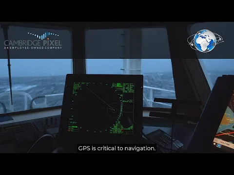
For a deeper understanding of how GPS Assist functions, check out the video below: