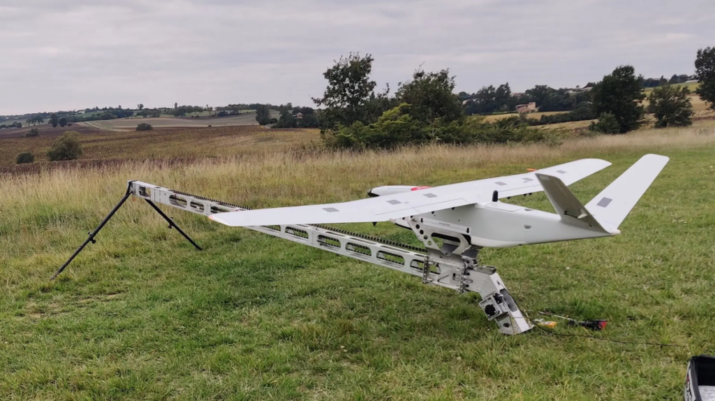
Introducing the DT46: A Revolutionary lidar Drone at INTERGEO 2024
In a significant advancement for drone technology, DELAIR, in collaboration with LiDAR expert YellowScan, has launched the DT46 LiDAR drone, a fixed-wing system tailored for extensive inspections and the advancement of highly accurate digital twins.
Unmatched Technology Integration
The DT46 model features the YellowScan Voyager LiDAR, a state-of-the-art laser scanning device, complemented by a high-resolution RGB camera. This innovative platform is set to make its first appearance at INTERGEO 2024, taking place in Stuttgart from September 24 to 26.
Extraordinary data Capture Capabilities
The YellowScan Voyager is distinguished by its remarkable data collection accuracy. It boasts a laser scanner with a 100° field of view and an remarkable acquisition rate of up to 2400 kHz, ensuring optimal point density for even the most challenging projects.
Key Specifications of the DELAIR DT46
- Coverage of up to 300 km per flight, depending on the launch method (VTOL or catapult)
- Portable in a pickup truck and can be deployed in under 15 minutes without any tools
- Dialog range exceeding 100 km
A Complete Solution for precision Inspections
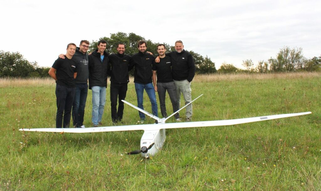
The collaboration between these two companies from the Occitanie region combines their expertise to deliver a fully autonomous solution capable of executing long-range, precise inspections and mapping, encompassing everything from data acquisition to processing.
Expert insights
Bastien MANCINI,President of DELAIR,expressed enthusiasm about the integration,stating,“Our collaboration with YellowScan enhances precision,efficiency,and cost-effectiveness,allowing us to deliver near-realistic results with unparalleled detail.”
Michel ASSENBAUM, President of YellowScan, added, “The DT46 LiDAR drone, with its extended endurance, payload capacity, user-pleasant design, and durability, is set to transform industrial infrastructure inspections and topographical surveys.”
Join Us at INTERGEO 2024
Be sure to visit YellowScan at INTERGEO 2024 in Stuttgart, Hall 1, Booth G1.059.


