
The Maxtena M10HCT-A-TNC antenna,in conjunction with the U-Blox X20 GNSS receiver,provides a cutting-edge solution that fully accommodates E6 frequencies,delivering outstanding GNSS precision for high-demand applications.
This robust pairing significantly improves signal acquisition and processing, ensuring unparalleled performance for essential navigation and positioning systems.
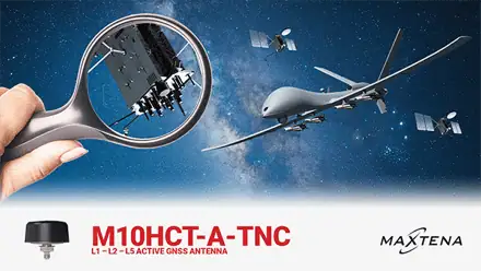
M10HCT-A-TNC: Cutting-Edge Active Antenna for Accurate Navigation
The Maxtena M10HCT-A-TNC is an adaptable active GNSS antenna that operates across L1, L2, and L5 frequencies, supporting complete GPS, Galileo, Glonass, and BeiDou bands, along with L-band correction services. Its compact, low-profile design with right-hand circular polarization (RHCP) makes it ideal for high-precision applications, including autonomous vehicle navigation, unmanned ground vehicles (UGVs), and maritime positioning.
Utilizing Maxtena’s innovative Helicore® technology, this antenna ensures superior pattern control, polarization integrity, and high efficiency within a small footprint.
When paired with the U-Blox X20 GNSS receiver, the antenna’s capabilities are greatly enhanced, allowing for precise processing of E6 frequencies, which guarantees reliability in critical applications.
Highlighted Features:
- Comprehensive support for GPS,Galileo,Glonass,BeiDou,and L-Band correction services
- Low axial ratio for enhanced RHCP signal reception and reduced LHCP signal reflections
- Ground-plane self-reliant design,allowing for versatile installation without needing a dedicated ground plane
- Low noise figure for an excellent signal-to-noise ratio (SNR) and robust GNSS tracking in various environments
- Energy-efficient operation with low power consumption
- Durable IP67 rating for resilience in challenging conditions
- RoHS compliant and equipped with automotive-grade electronics for dependable long-term performance
Potential Applications:
- UAVs/Drones
- Unmanned Ground Vehicles (UGVs)
- High-Precision Navigation
- Military & Security Systems
- Agricultural Technology
- Marine Systems
M10HCT-A-SMA: Versatile Magnet Mount for Easy Integration
The M10HCT-A-SMA variant of the Maxtena M10HCT-A maintains the same high-performance GNSS reception as its screw-mount counterpart,but features a convenient magnet mount for flexible integration in mobile applications. This version also supports full GPS, Galileo, Glonass, BeiDou, and L-Band correction services. Like the TNC model, the M10HCT-A-SMA utilizes Maxtena’s Helicore® technology to ensure efficient signal reception and reliable performance across diverse environments.
Highlighted Features:
- Full-band support for GPS, Galileo, Glonass, BeiDou, and L-Band correction services
- Low axial ratio for optimal RHCP signal reception, minimizing interference
- Ground-plane independent design, adaptable for various mounting configurations
- IP67 rated for durability in extreme weather conditions
- RoHS compliant and constructed with automotive-grade electronics
Potential Applications:
- UAVs/Drones
- Unmanned Systems
- High-Precision Navigation
- Military & Security Systems
- Agricultural Technology
- Marine Systems


