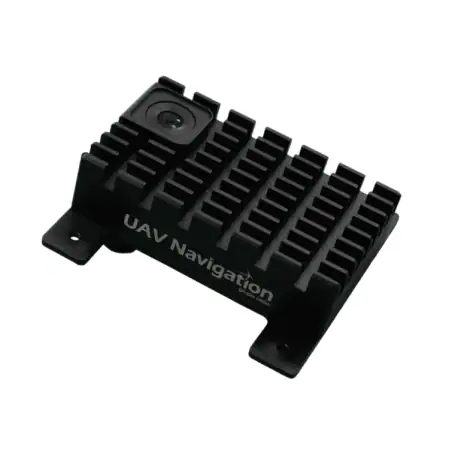
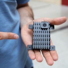
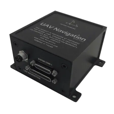
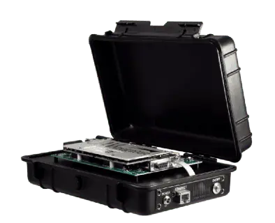
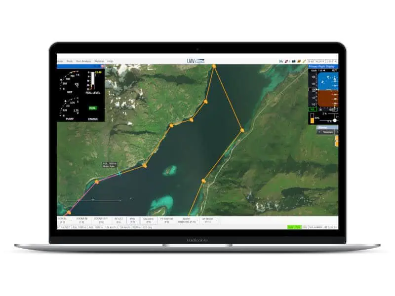
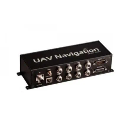
Advanced Visual Navigation System (VNS01)
The Advanced Visual Navigation System (VNS01) employs an integrated camera along with advanced visual odometry and pattern recognition methods to guarantee seamless navigation and positioning, even in environments where GNSS signals are unavailable. In scenarios where GNSS signals are present, the camera captures images to construct a map that is stored internally, allowing for zero navigational drift during signal interruptions. In unexplored regions, the system effectively limits drift to just 10 meters per minute while utilizing visual odometry.
By collaborating with other onboard sensors, this system enhances the flight computer’s ability to deliver precise absolute positioning, orientation, and relative movement data. designed to be compact and lightweight, it features straightforward wiring and is tailored specifically for NATO Category I and II Unmanned Aerial Systems (UAS).
Key Specifications
| Dimensions (H x W x L): | 24 x 80 x 77 mm |
| Weight: | 100g |
| Power Supply: | 9-36 VDC, 5W |
| Typical Dead Reckoning Drift: |
Standard AHRS-INS (third-party): 100 m/min UAV Navigation POLAR AD-AHRS: < 35 m/min Visual Odometry: < 10 m/min Pattern Recognition: No Drift |


