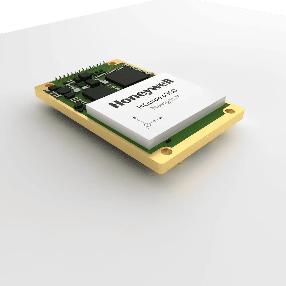
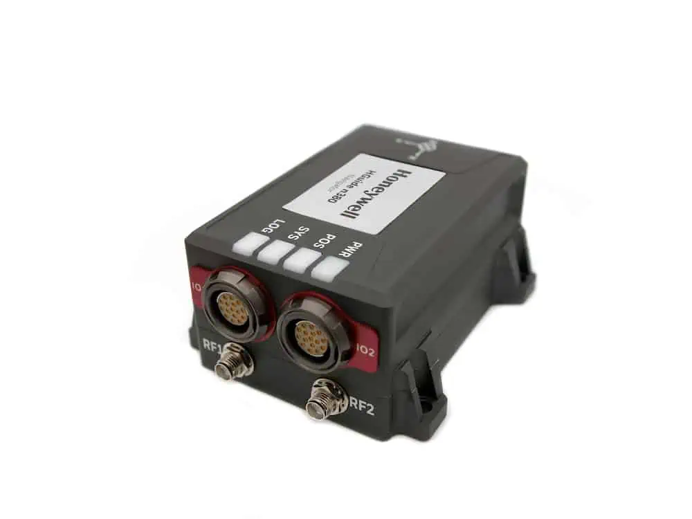
Introducing the HGuide g080: A Cutting-Edge GNSS Receiver
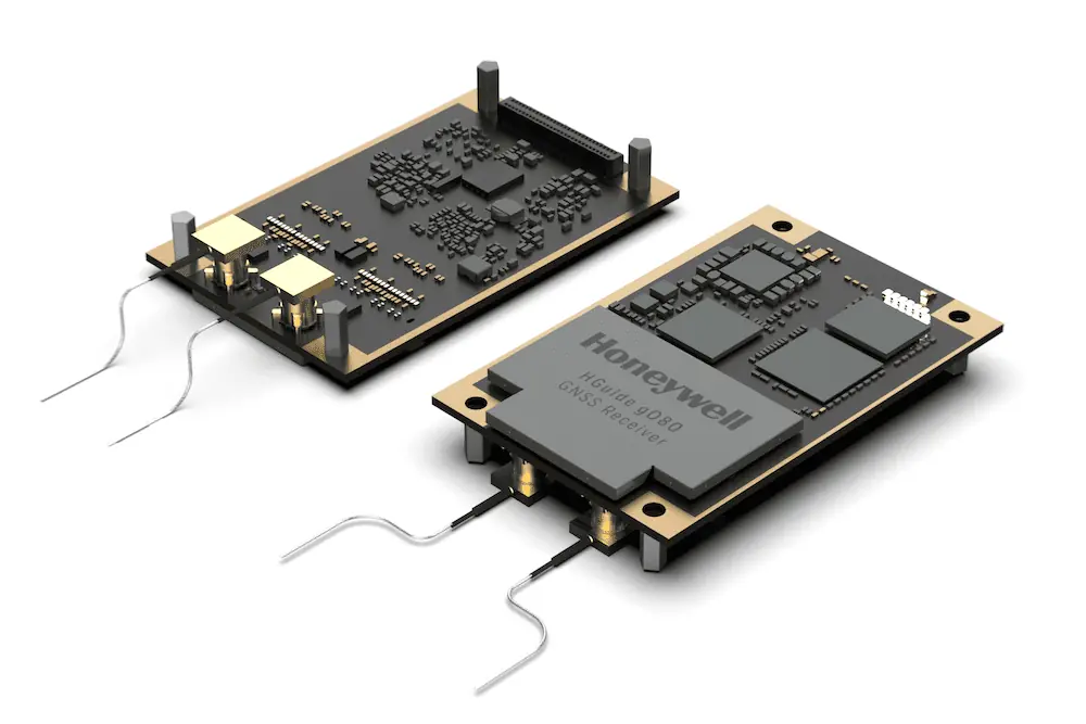
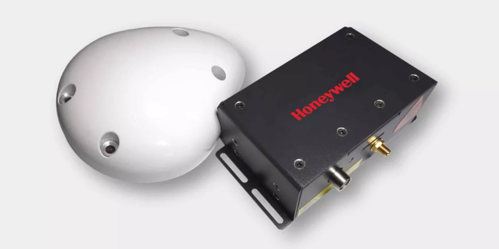
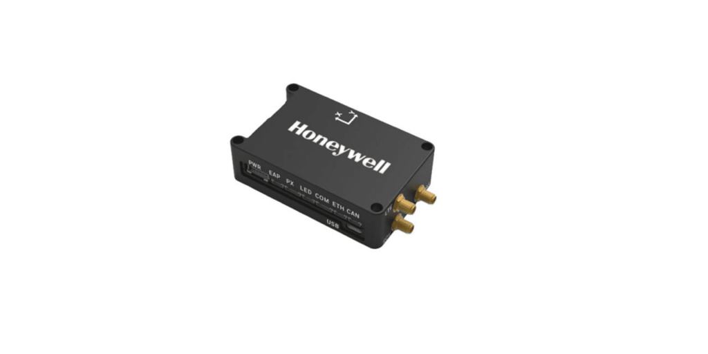
The HGuide g080 stands out as a dual-RF, triple-frequency GNSS receiver, capable of tracking all satellite constellations while achieving positioning and heading accuracy within sub-centimeter precision. This advanced sensor is equipped with an integrated Inertial Measurement Unit (IMU), which guarantees uninterrupted tracking even during brief GNSS signal interruptions, along with swift and seamless reacquisition of signals.
Compact and lightweight, the HGuide g080 has dimensions comparable to a credit card, making it an ideal choice for integration into drones and robotic systems. It fully supports the Robot Operating System (ROS) and LiDAR technology,and is available in versions with or without Real-Time Kinematic (RTK) functionality.
Key Specifications
| Dimensions (L x W x H) | 71 x 46 x 10 mm |
| Weight | 24g |
| Power Requirements | +3.3 VDC < 2.5 W, < 800 mA Maximum for All Signals + L Band |
| Supported GNSS Signals | GPS – L1CA/L1P/L1C/L2P/L2C/L5 GLONASS – G1/G2/G3, P1/P2 GALILEO – E1BC/E5a/E5b/E5-altboc/E6BC BeiDou – B1i/B2i/B3i/B1C/B2a/B2b/ACEBOC QZSS – L1CA/L1C/L2C/L5/LEX(L6D and L6E) NavIC (IRNSS) – L5 |
| Typical Position Accuracy (Standalone) | 1.2m (3D RMS) 2.5m (2D RMS) |
| Typical Position Accuracy (SBAS/DGPS) | 0.3m (3D RMS) 0.6m (2D RMS) |
| Typical Position Accuracy (RTK) | 0.0083m (3D RMS) 1.53cm (2D RMS) |
| Heading Accuracy (RMS) | 0.04° @ 2.0 m antenna separation 0.08° @ 1.0 m antenna separation |
| Velocity Accuracy | 0.03 m/s |


