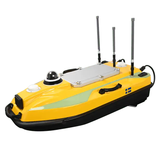
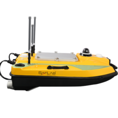
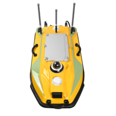
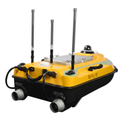
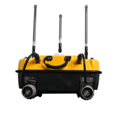
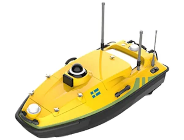
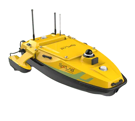
Introducing the HydroBoat 990, a cutting-edge portable Unmanned Surface Vehicle (USV) meticulously engineered for conducting bathymetric surveys. this vessel boasts a sturdy and exceptionally stable hull, complemented by IP67 waterproofing, ensuring it can endure harsh conditions, impacts, and winds up to Level 3.
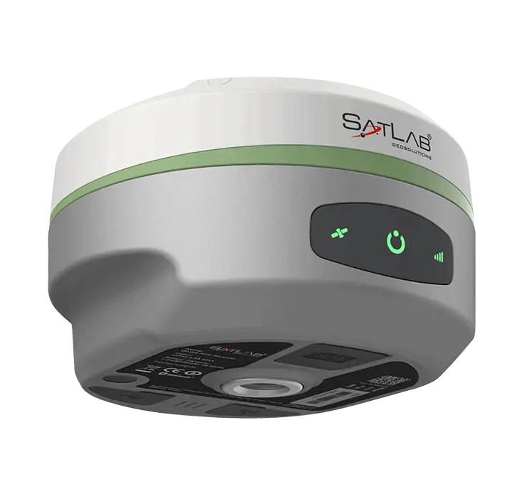
Equipped with a built-in GNSS receiver and a Single Beam Echosounder (SBES), the HydroBoat 990 can be operated either manually or thru pre-programmed automatic navigation. Its millimeter-wave radar system enhances obstacle detection, ensuring safe and precise navigation.
The ground control station comes with SatLab’s innovative SLHydro USV software, which operates on Android. This software facilitates mission planning, project setup, waypoint configuration, and real-time data collection, streamlining the entire surveying process.
| Dimensions: | 1035 x 560 x 345 mm |
| Maximum Speed: | 6 m/s |
| Battery Life: | 10 hours at 1.5 m/s |
| GNSS Positioning Precision: | Single point: ±0.5m + 1 ppm DGNSS: ±0.25m + 1 ppm RTK: ±8mm + 1 ppm RMS (Horizontal), ±15mm + 1 ppm RMS (Vertical) |
| GNSS Heading Precision: | 0.2° at 1 m baseline |
| Echosounder Range: | 0.15 – 200m |
| Echosounder Precision: | ±0.01m + 0.1% of depth |


