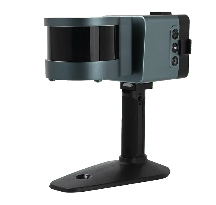
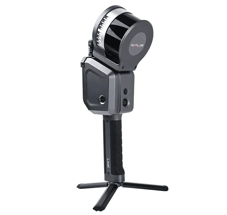
Introducing Cygnus: The Advanced Mobile laser Scanner
Cygnus stands out as a cutting-edge mobile laser scanning solution designed for precise point cloud data collection and 3D modeling. It incorporates advanced SLAM (Simultaneous Localization and Mapping) technology, along with enhanced low-reflectivity range capabilities. Users can process and preview data directly in the field using real-time decoding software, allowing for immediate exportation upon completion of scans.
Versatile Applications and Robust Design
This adaptable system is easily attachable to UAVs (Unmanned Aerial Vehicles) and mobile mapping platforms, boasting an IP54 rating that ensures resilience in challenging outdoor environments. Cygnus is perfectly suited for a variety of lidar scanning tasks,such as construction surveys,environmental assessments,utility management,mining operations,and modeling in indoor or GNSS-denied settings.
Technical Specifications
| Dimensions | 227 x 98 x 98 mm (scanner) 158 x 70 x 145 mm (data logger) |
| Weight | 1.5 kg (scanner) 0.8 kg (data logger) |
| Field of View (FOV) | 360 × 285° |
| Range | Up to 120 meters |
| Accuracy | Between 0.5 and 2 cm |
| Point Capture Rate | 320,000 points per second |
| Battery Duration | Approximately 4 hours |


