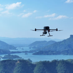
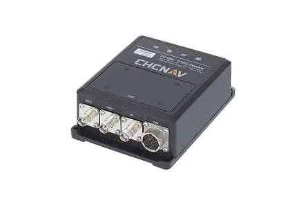
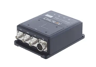
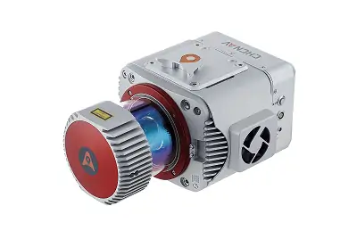
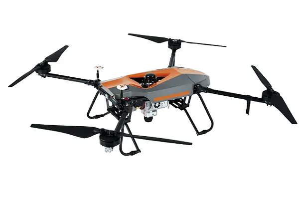
The CHCNAV X500 Multirotor Drone represents a state-of-the-art solution tailored for rigorous professional tasks where dependability, accuracy, adn adaptability are essential. Designed with advanced features, the X500 thrives in environments that demand critically important payload capabilities, prolonged flight times, and smart automation.
Exceptional Payload Capacity and Flight Duration
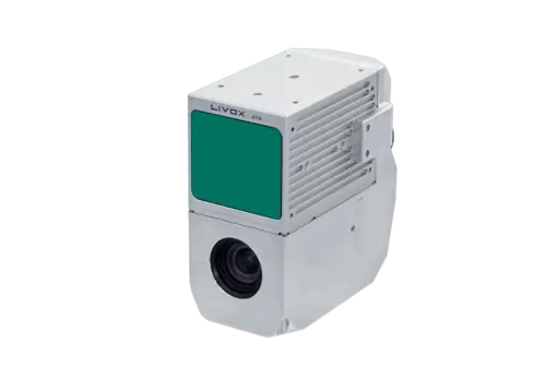
Boasting an notable payload capacity, the X500 effortlessly accommodates CHCNAV’s proprietary sensors alongside various third-party equipment, offering unmatched versatility across multiple sectors. Whether it’s for high-definition aerial mapping or sophisticated urban monitoring, this drone ensures outstanding performance. Its long flight endurance allows for extensive mission execution, even in vast or challenging landscapes.
superior Stability and Agility in Flight
central to the X500 is a sophisticated flight control system, enhanced by high-accuracy GNSS positioning and real-time navigation algorithms. this combination guarantees exceptional stability and maneuverability under all conditions, including inclement weather and difficult terrains. whether operating in bustling cityscapes or isolated areas, the X500 provides precise handling and dependable data collection.
Advanced Visual SLAM and Obstacle Avoidance
Equipped with innovative Visual Simultaneous Localization and Mapping (SLAM) technology and obstacle detection systems, the X500 significantly improves situational awareness, facilitating safe autonomous operations. Operators can deploy the X500 in intricate, ever-changing environments with confidence, ensuring mission integrity and safety are never compromised.
Perfect for High-Impact Operations
The CHCNAV X500 is specifically designed for critical missions, including:
- Aerial Mapping: Gather accurate geospatial information for mapping and infrastructure development.
- Urban Monitoring: Oversee activities and secure vital locations with advanced imaging technology.
- Disaster Response: Quickly survey areas affected by disasters to support rescue efforts.
- Inspection Tasks: Perform thorough inspections of industrial sites, pipelines, and electrical lines.
| Dimensions (L x W x H) | 770 x 804 x 450 mm |
| Weight | Approximately 4.4 kg without batteries |
| Maximum Payload | 5.0 kg |
| Maximum Flight Time |
58 minutes without payload 52 minutes with a 2 kg payload 40 minutes with a 4 kg payload |


