Introducing the CGI-830: A Cutting-Edge Integrated Navigation Solution
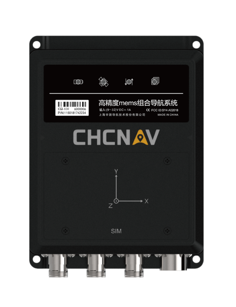
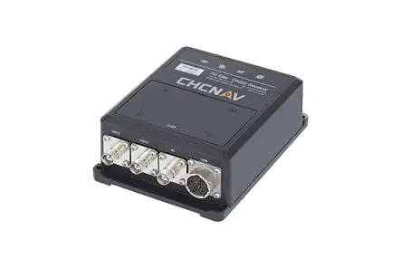
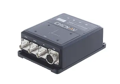
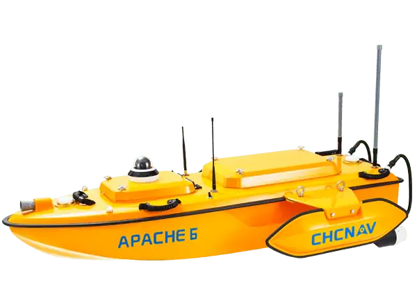
The CGI-830 stands out as a top-tier integrated MEMS navigation receiver, boasting a comprehensive multifrequency GNSS baseband module alongside a high-performance 6-axis MEMS IMU. Wiht an exceptional bias instability of just 0.03°/h, this device is engineered for precision. Leveraging CHCNAV’s sophisticated tightly coupled algorithms,the CGI-830 effortlessly integrates with a variety of external sensors,including Dead Reckoning (DR),Doppler Velocity Log (DVL),and Ultra-Short Baseline (USBL) acoustic positioning systems. This makes it an excellent choice for navigation across vehicles, surface operations, and underwater environments.
Robust Design for Diverse Environments
Built to comply with rigorous IP67 protection standards,the CGI-830 features integrated shock-absorbing mechanisms that safeguard the main board circuitry. This design enables the device to perform reliably in a multitude of challenging operational conditions. Additionally, it provides a range of communication options such as Wi-Fi, serial ports, Ethernet, and CAN, ensuring it meets the diverse interface needs of users.
Enhanced Data Management Capabilities
Equipped with 8 GB of onboard data storage, the CGI-830 is adept at handling extensive operational logs and user-defined cyclic data storage, making it a powerful tool for data management in navigation tasks.


