AlphaAir 15
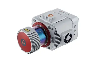
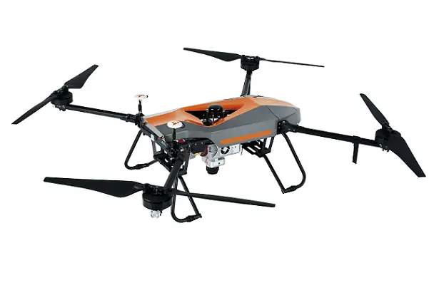
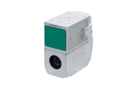
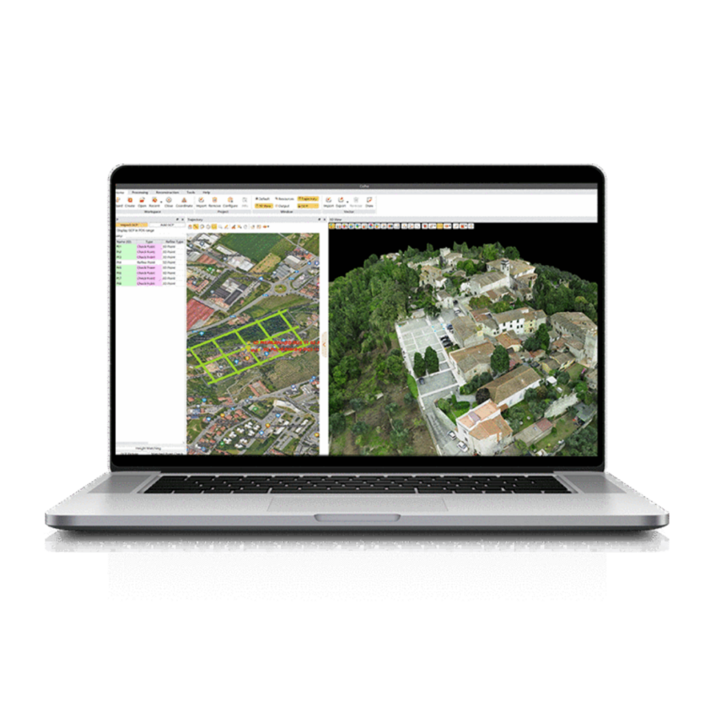
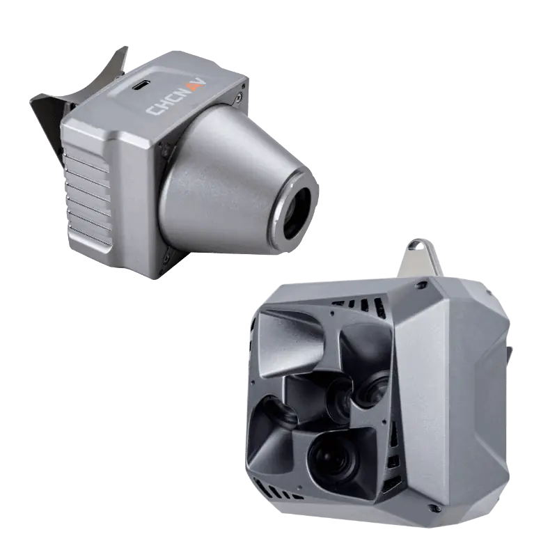
The AlphaAir 15 from CHCNAV is a lightweight airborne LiDAR system, tipping the scales at only 2.5 kg. This versatile device can be seamlessly integrated into various UAV platforms, including fixed-wing aircraft, multirotors, and helicopters.Its exceptional accuracy and rapid data collection capabilities make it perfect for extracting intricate ground features from point cloud data, particularly in rugged terrains with meaningful elevation variations.
Utilizing CHCNAV’s innovative tilted-prism technology, the AlphaAir 15 can achieve scanning speeds of up to 600 lines per second and generate up to 2 million laser pulses per second. This results in highly dense point clouds that capture intricate details with remarkable precision. The system is compatible with a range of external cameras, including CHCNAV’s 45 MP and 61 MP full-frame calibrated cameras, and also a 130 MP half-frame oblique camera, along with various third-party camera options.
installation of the AlphaAir 15 is straightforward, thanks to CHCNAV’s unified Alphaport interface, which allows for quick connections to power sources and cameras with a single click.
Key Specifications:
| Dimensions | 247 x 126 x 156 mm |
| Weight | 2.5 kg |
| Power consumption | 60W |
| Laser PRR | 100 kHz – 2 MHz |
| Maximum Range | 1800m (100 kHz,ρ >80%) 900m (100 kHz,ρ >20%) |
| Accuracy | 15 mm (1σ,@ 150 m) |
| Precision | 5 mm (1σ,@ 150 m) |
| Field of View | 75° |
| Scanning Speed | 50 – 600 scans/sec (selectable) |


