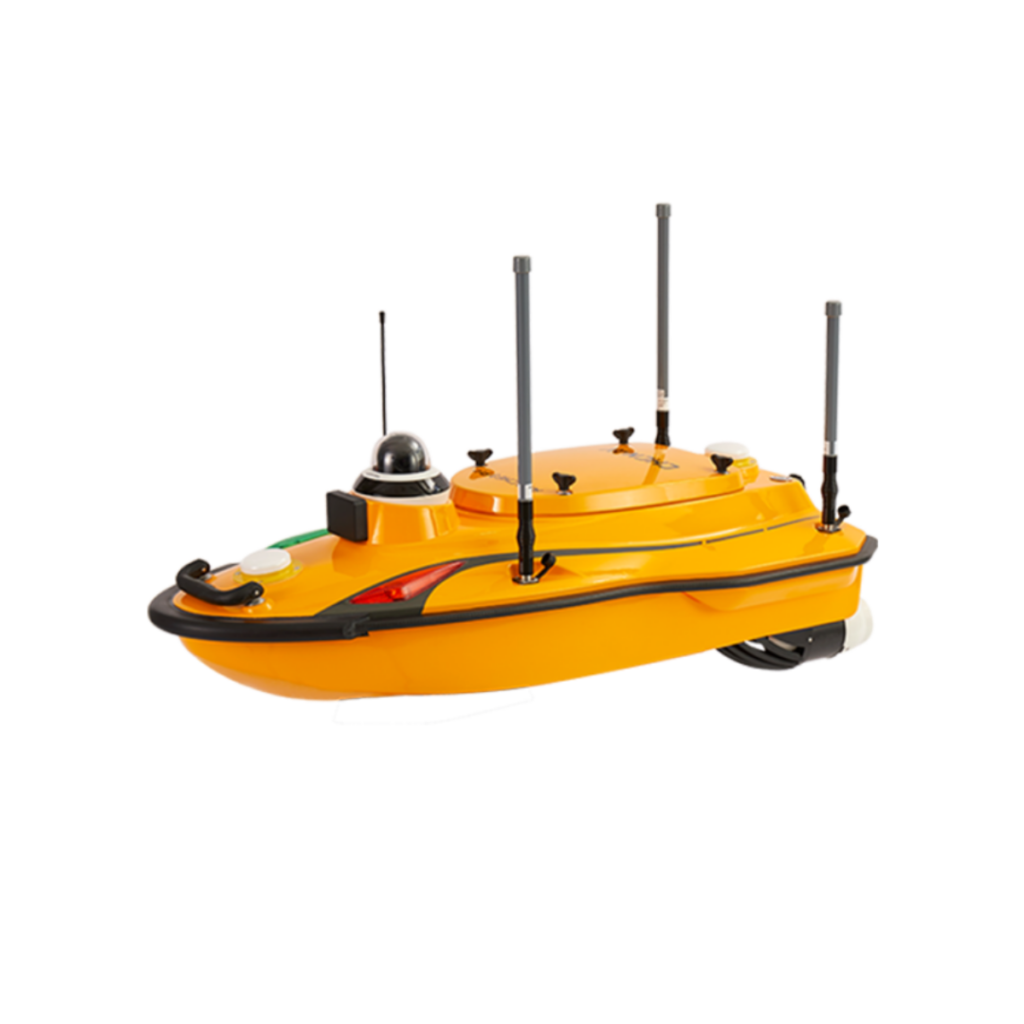
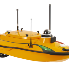
Introducing the APACHE 3 Pro: A Cutting-Edge Uncrewed Surface Vessel
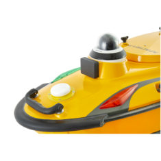
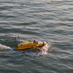
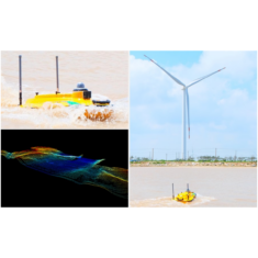
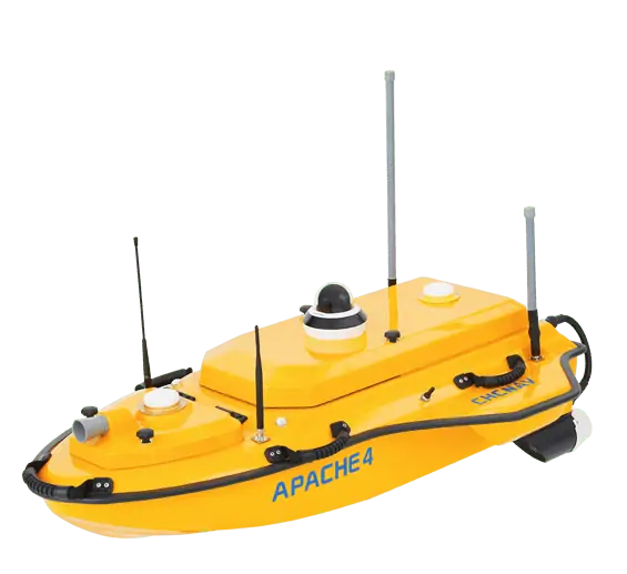
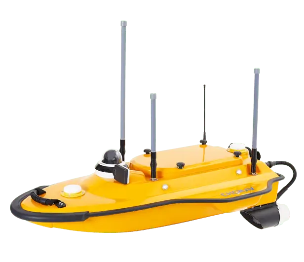
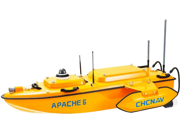
The APACHE 3 Pro stands out as a nimble and compact uncrewed surface vessel (USV) tailored for advanced bathymetric surveying in demanding aquatic environments. Designed for full autonomy, this vessel can be operated by a single individual, featuring an integrated single-beam echo sounder and a elegant obstacle avoidance system that boasts a 110-degree field of view, utilizing state-of-the-art millimeter-wave RF technology.
Robust Design for Diverse Conditions
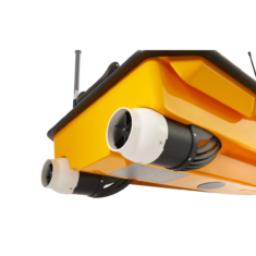
Constructed from double-layer carbon fiber with an IP67 rating, the APACHE 3 Pro offers extraordinary resistance to impacts. Its innovative semi-recessed motor and internal rotor configuration enhance protection while allowing for a shallower draft, making it adept at navigating various water depths.
Advanced Navigation and Connectivity
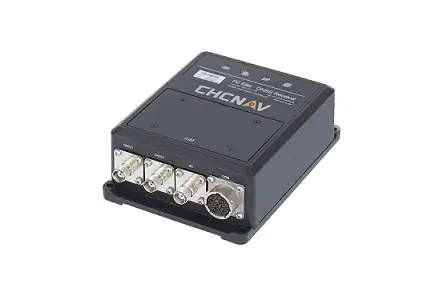
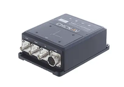
This vessel employs a highly integrated inertial navigation system alongside RTK GNSS capabilities, ensuring precise measurements and navigation even in challenging scenarios such as under bridges or during GNSS signal interruptions. The APACHE 3 Pro supports both 2.4GHz RF and cellular 4G connectivity, automatically switching between them to maintain seamless dialog.
Optional Water Quality Analysis
For those interested in environmental monitoring, the APACHE 3 Pro can be equipped with optional water analysis probes. These probes can assess various parameters, including pH levels, temperature, conductivity, and dissolved oxygen, providing complete data for aquatic studies.
| Dimensions | 1.05 x 0.55 x 0.39 m |
| Weight | 10 kg (excluding battery or payload) |
| Maximum payload | 30 kg |
| Draft | 9 cm |
| Top speed | 6 m/s |
| Single-Point positioning Accuracy | Horizontal: 1.5 m Vertical: 2.5 m |
| DGNSS Positioning Accuracy | Horizontal: 0.4 m + 1 ppm Vertical: 0.85 m + 1 ppm |
| RTK Positioning Accuracy | Horizontal: ±8 mm + 1 ppm Vertical: ±15 mm + 1 ppm |
| Heading Accuracy | 0.2° @ 1m baseline |


