Introducing CoPre: The Ultimate Geospatial Data Processing Solution
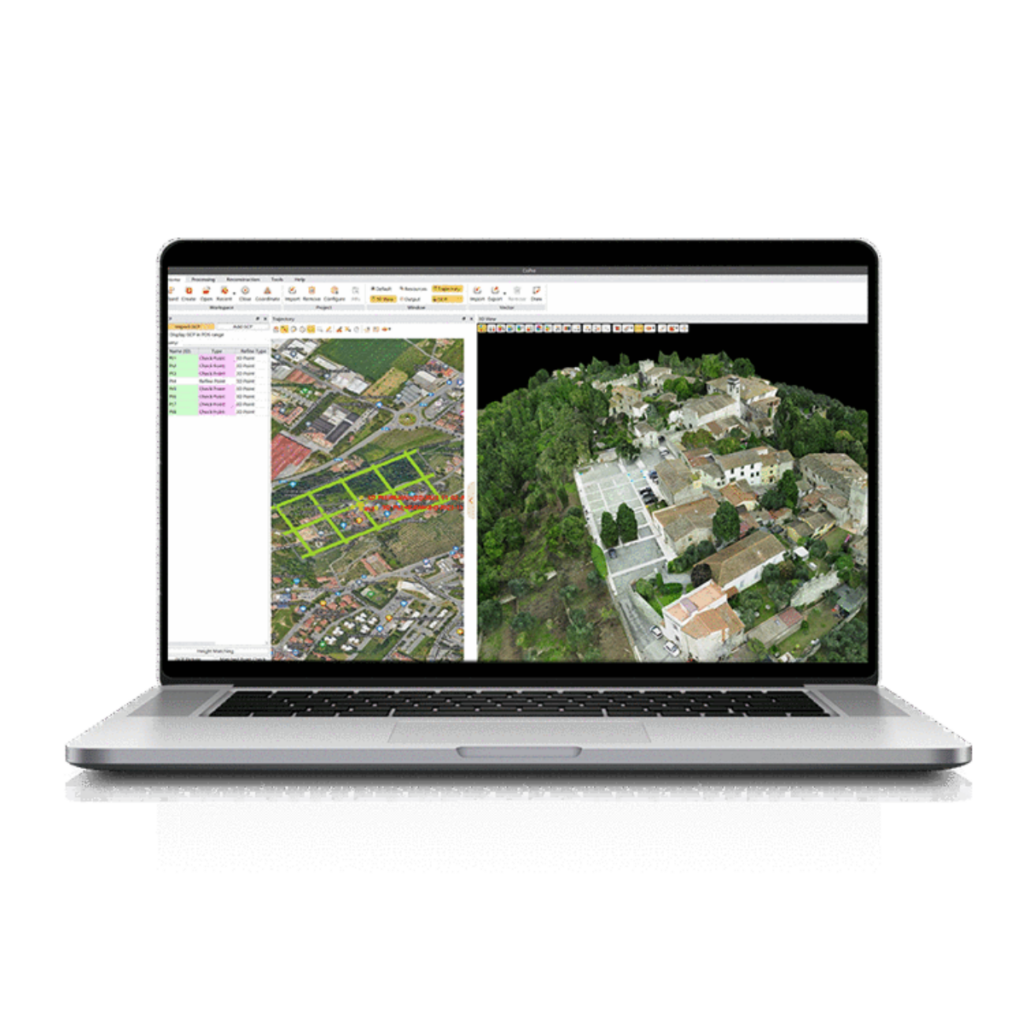
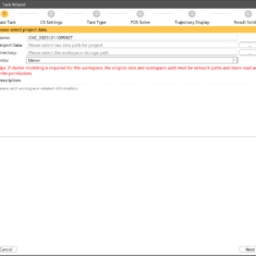
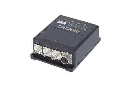
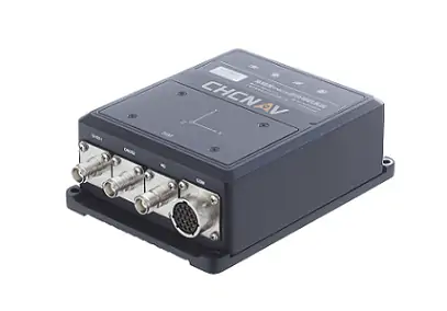
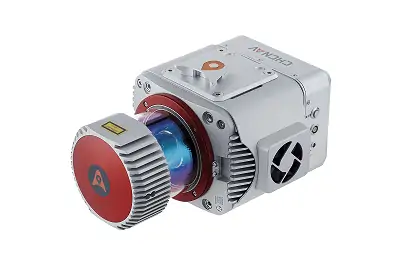
CoPre stands out as a robust and user-pleasant software suite designed for the efficient processing of geospatial data collected via UAVs and mobile mapping technologies. Fully compatible with all CHCNAV LiDAR scanners, it offers instant access to raw datasets and incorporates automated workflows to enhance productivity. Utilizing proprietary algorithms, CoPre significantly elevates the precision of post-processing outcomes.
Key Features of CoPre
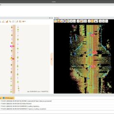
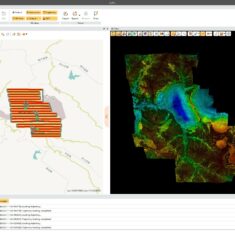
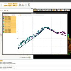
This software boasts an array of essential functionalities, including precise trajectory processing, georeferencing of point clouds and images, point cloud color enhancement, filtering capabilities, and the generation of digital ortho models (DOM). Advanced features encompass the ability to process multiple datasets together, perform strip adjustments, and utilize a reconstruction module that facilitates aerial triangulation.
System Requirements
| Operating System | windows 7, 8, 10 (64-bit) |
| Installation Package Size | Under 2 GB |
| File System | NTFS |
| Processor | Minimum: Intel® Core™ i7; Recommended: Intel® Core™ i9 |
| RAM | Minimum: 8 GB; Recommended: 32 GB or more for 64-bit OS |
| Hard Disk | Minimum: 500 GB SSD; Recommended: 1 TB SSD |
| Large project Disk Option | RAID 5, 6, or 10 with SATA or SAS drives |
| Graphics Card | Minimum: Nvidia GeForce 2 GB; Recommended: Nvidia GeForce 6 GB+ |
| Display Resolution | Minimum: 1024 × 768; Recommended: 1920 × 1280 |
| License type | Permanent software registration code; Time-limited software registration code; Optional USB dongle driver |
| Software Upgrade | Online version check; Manual installation package |
| Supported Languages | English, Russian, Chinese |


