Ainstein is a global leading developer of mmWave radar sensing technologies for drones and robotics. Our advanced sensors enable intelligent flight and navigation for UAVs (unmanned aerial vehicles) and autonomous vehicles, providing unmatched precision and performance in highly dynamic and challenging environments.
We have delivered affordable, scalable, and reliable solutions to hundreds of customers across 40 countries, and have successfully undertaken projects in areas such as:
- Smart Agriculture
- Drone Delivery
- Aerial Targets
- Geophysical Survey
- BVLOS
Radar Altimeters for UAVs
The advantages of drone radar altimeters
While radar and LiDAR have some similarities, radar technology provides a number of crucial advantages for altitude sensing in environments commonly experienced by drones and robotic vehicles.
- Radar can function in heavy rain, snow, and fog without experiencing any loss in performance
- Radar is highly suited for applications where large bodies of water are present, whereas LiDAR signals are absorbed
- Radar offers superior performance in the presence of bushes, tree canopies and heavy vegetation, compared to standard LiDAR
Radar also outperforms vision-based technologies in several key areas.
| RADAR | LIDAR | VISION | |
| All-Weather Performance | ✓✓ | – | X |
| Range | ✓✓ | ✓ | ✓✓ |
| Range Resolution | ✓ | ✓✓ | – |
| Velocity | ✓✓ | – | X |
| Excels in Adverse Lighting Conditions | ✓✓ | ✓ | XX |
| Privacy | ✓✓ | ✓ | – |
| Affordability | ✓✓ | XX | ✓ |
| Color/Contrast | – | – | ✓✓ |
| BEST OVERALL |
Learn more: Radar altimeters for UAVs
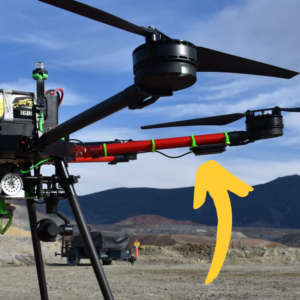
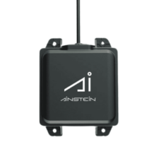
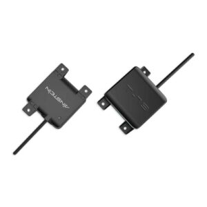
US-D1
Compact all-weather radar altimeter for UAVs
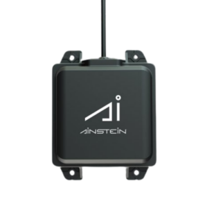 The US-D1 is a lightweight and compact airborne radar altimeter that provides reliable measurements at distances of up to 50 meters. Providing robust all-weather operations during the day or night, it is ideal for applications such as cargo delivery, agricultural spraying, and low-altitude surveying and landing.
The low-SWaP device features an intuitive plug-and-play operation, with no calibration required for PX4/Pixhawk platforms. The unit counts with FCC, CE, and IP67 certifications.
Learn more: US-D1 all-weather radar altimeter
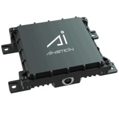
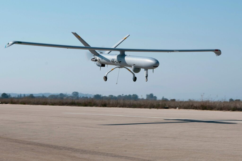
LR-D1
Long-range radar altimeter for commercial, industrial & tactical drones
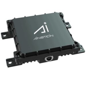 The LR-D1 is a radar altimeter that delivers reliable and accurate data even in low visibility and the harshest of weather conditions. Featuring a rugged enclosure, it is designed to be used at distances of up to 500 metres.
The heavy-duty airborne altimeter is designed for large and high-speed UAVs, and is ideal for autonomous takeoff and landing requirements as well as industrial and tactical applications including cargo delivery, geophysical surveying, and tactical targets or target drones.
Learn more: LR-D1 UAV Long-Range Radar Altimeter
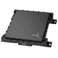
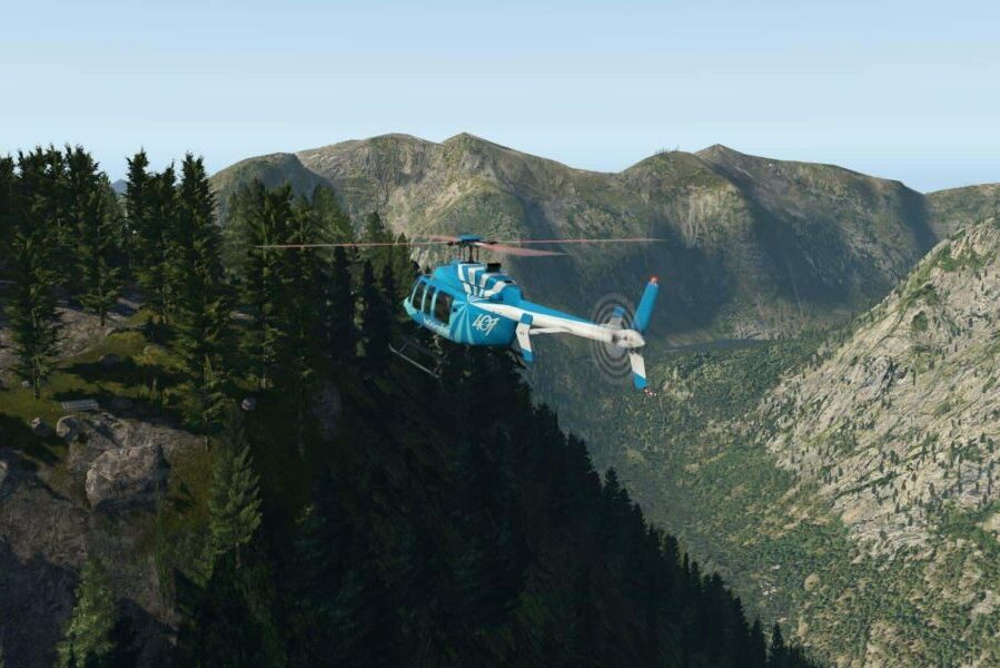
LR-D1 Pro
Dual-band radar altimeter for larger VTOL drones
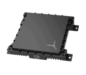 The LR-D1 Pro is an advanced version of our LR-D1 altimeter platform, utilizing two antennas (24GHz and 60 GHz) and sophisticated sensor fusion to provide centimeter-level altitude measurement precision for the most critical of applications.
The rugged sensor is built to withstand heavy-duty industrial conditions, and is highly suited to operations at high speed and with high levels of shock and vibration. It is ideal for larger VTOL drones and unmanned helicopters, and industrial and tactical applications requiring the utmost in precision. Available in UART, CAN, 422, and 232 interfaces for compatibility with any project
Learn more: LR-D1 Pro Dual-band radar altimeter
Product comparison
 US-D1 US-D1 |
 LR-D1 LR-D1 |
 LR-D1 Pro LR-D1 Pro |
|
| Frequency Band | 24 GHz | 24 GHz | 24 GHz, 60 GHz |
| Bandwidth | 190 MHz | 250 MHz | 250 MHz |
| Power Consumption | 2W (at 5 Volts DC input) | 11W | <13W |
| Supply Voltage | 5V~13V DC (5.5V recommended) |
10 – 30 V | 10 – 30 V |
| Altitude Range | 0.5m – 50m | 0.7m – 500m | 0.30m – 500m |
| Altitude Precision | 6.0cm (< 1m), 4.0cm (> 1m) | 0.365m | 0.075m (<5m), 0.364m (>5m) |
| Update Rate | 100 Hz | 40 Hz | 40 Hz |
| Field of View | 43 ° x 30 ° | 43° Azimuth 30° Elevation | 43° Azimuth 30° Elevation |
| Operational Temperature Range | -20 °C ~ 65 °C* | -40°C ~ +60°C | -40°C – 70°C |
| Size | 108mm x 79mm x 20mm | 112mm x 102.5mm x 29mm | 148mm x 134mm x 35mm |
| Weight | 110g | 300g | 634g |
| Environmental Conditions | IP67 (with sealant) | IP67 | IP67 |
| Interface | UART, CAN | RS-232, RS-422 | CAN, RS-232, RS-422 |
Imaging & Detection Radar for Self-Driving & Autonomous Vehicles
O-79
Imaging radar for autonomous vehicles
 The O-79 is a compact imaging radar that offers LiDAR-like image quality and excellent accuracy, providing superior obstacle identification and avoidance capabilities for autonomous and self-driving vehicles such as lawn mowers, street sweepers and construction equipment.
Delivering consistent performance no matter the weather or lighting conditions, the O-79 enables accurate target classification and is capable of distinguishing between vehicles and pedestrians.
Learn more: O-79 Imaging radar for autonomous vehicles
T-79
Short-range safety radar for autonomous vehicles
 The T-79 is a high-resolution automotive safety radar designed to provide short-range situational awareness that enhances safety for semi- and fully-autonomous vehicles. Built on RF-CMOS IC technology, it features ultra-low power consumption at a low unit cost.
Multiple sensors can be configured together to provide high-resolution 360° detection under all weather and lighting conditions, enabling advanced applications such as parking assistance, lane change assistance and cyclist and pedestrian detection.
Learn more: T-7 Short-range safety radar for autonomous vehicles
Applications
Recon & Surveillance
The LR-D1 Pro radar altimeter provides high-precision, real-time altitude readouts for tactical VTOL drones conducting ISR missions, enabling safe and efficient takeoff and landing transitions.
Surveying & Mapping
The LR-D1 is ideal for supporting professional geophysical surveyors using fixed-wing or multirotor drones to gather data in harsh environments. It provides reliable accuracy over varying terrain and all types of environment including water.
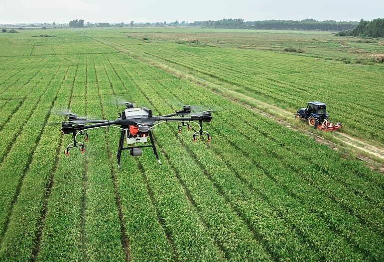
Precision Agriculture & Crop Management
The US-D1 radar altimeter was specifically designed with crop spraying applications in mind, allowing precision agriculture drones to follow terrain precisely even under challenging environmental and weather conditions.


