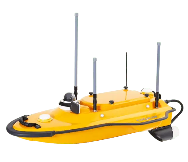
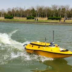
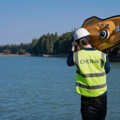
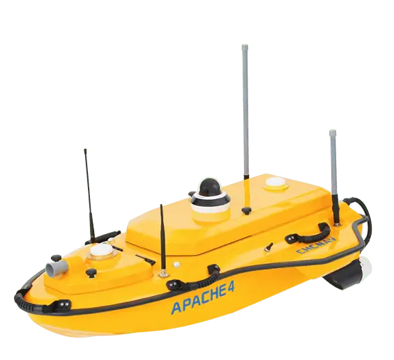
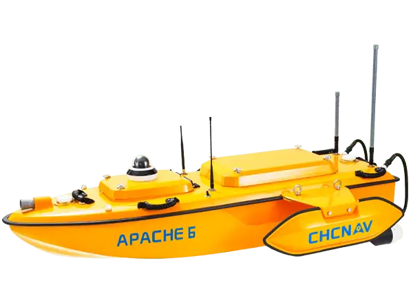
The APACHE3 is a portable shallow-draft hull with a single beam echo sounder for bathymetric surveys of lakes, inland rivers, and coastal areas. The master control unit provides seamless 4G communication, removing the limitations of traditional network bridge base stations and transmission distances, making hydrographic survey easier.
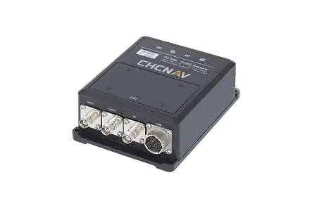
The APACHE3 USV combines a dual GNSS positioning and heading sensor, a stable and reliable hull attitude, and an IMU sensor, allowing uninterrupted survey while passing below bridges. The high-efficiency 5 m/s motors and absolute straight-line technology allow a fully automatic pre-determined course in autonomous mode under adverse current and flow conditions.
Additionally to the standard package that includes the remote control boat, single beam echosounder, and GNSS IMU sensor, the Apache 3 USV can be equipped and delivered with the CHCNAV’s water assessment sensor to measure water quality parameters, such as PH, temperature, conductivity, dissolved oxygen, and others. The obtained data can be effectively used by researchers and engineers.
| Dimensions (L x W x H) |
100 x 65 x 30 cm |
| Weight (no instruments or battery) |
7 kg |
| Payload Capacity | 25 kg |
| Maximum Speed | 5 m/s |
| Remote Control Range | 1 km |
| Battery Endurance | 2 x 2 hours @ 2 m/s (w/ 2 battery sets) |


