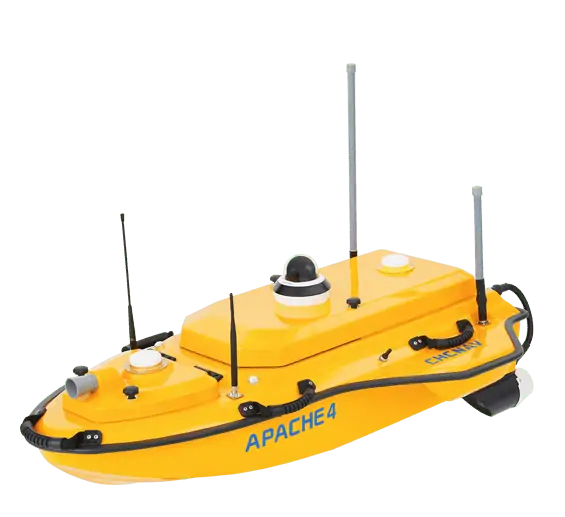
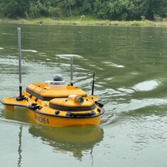
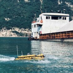
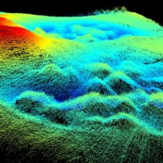
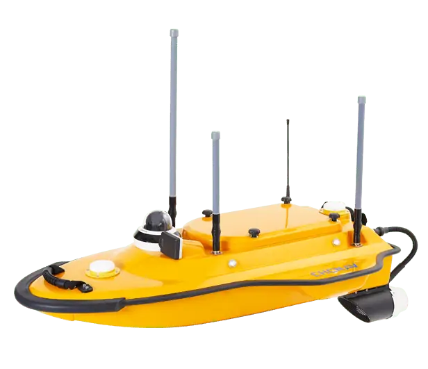
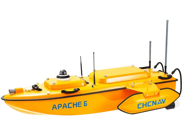
The APACHE 4 is an Unmanned Surface Vehicle (USV) that supports a wide variety of Acoustic Doppler Current Profiler (ADCP) systems available on the market. It offers an unmanned operation solution with a shallow draft, high navigational accuracy and stable hovering for hydrologists when measuring water flow velocity and discharge of a current section.
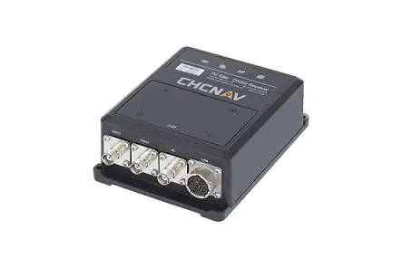
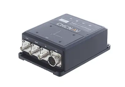
Designed for the efficient hydrographic, bathymetric, and hydrological surveys, the APACHE 4 USV brings together the best of high-accuracy positioning and automated navigation control technology, built around the operator’s habits when conducting ADCP hydrographic cross-section flow measurements.The built-in adaptive water flow and hovering navigation technology significantly improves the accuracy of flow estimation. Even when GNSS positioning might be degraded by obstructed environments, the internal GNSS+IMU module continues to provide reliable position and heading for the ADCP and autopilot controller.
Additionally to the standard package that includes the remote control boat, single beam echosounder, and GNSS IMU sensor, the Apache 4 USV can be equipped and delivered with the Teledyne Riverray or Riverpro, Sontek M9 or ROWE Seaprofiler ADCP for water discharge management, and with the CHCNAV’s sidescan module used for the underwater object detection, or with the CHCNAV’s water quality assessment sensor to measure water quality parameters. The obtained data can be effectively used by researchers and engineers.
| Dimensions (L x W x H) |
120 x 75 x 30 cm |
| Weight (no instruments or battery) |
9 kg |
| Payload Capacity | 30 kg |
| Maximum Speed | 5 m/s |
| Remote Control Range | 1 km |
| Battery Endurance | 2 x 2 hours @ 2 m/s (w/ 2 battery sets) |


