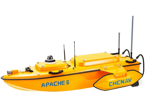
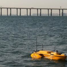
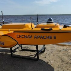
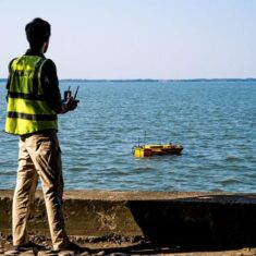
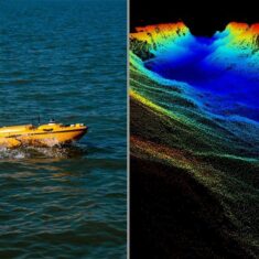
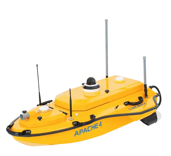
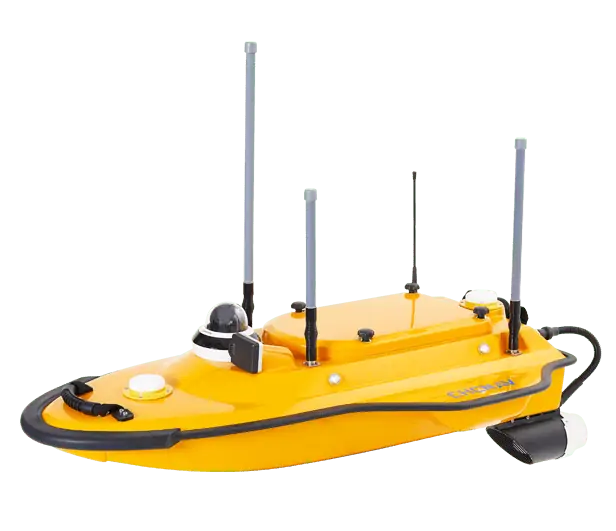
The APACHE6 USV is a full-integrated innovative solution for 3D bathymetric survey, underwater object positioning, offshore construction, underwater archaeology, and wrecked rescue. The APACHE6 is powered with a high-performance dual propeller system ensuring a stable constant automatic cruise speed of up to 2.5m/s (7.6 fps). The survey projects can also be completed in manual mode using the APACHE6 remote control panel over a 2 km distance.
The APACHE6 multibeam USV reduces survey time, improves work efficiency, and outputs high-resolution data to always match the most demanding marine survey project requirements.
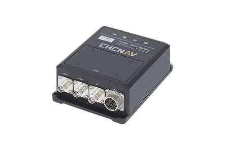
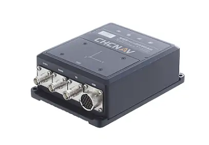
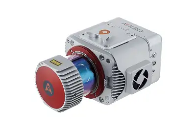
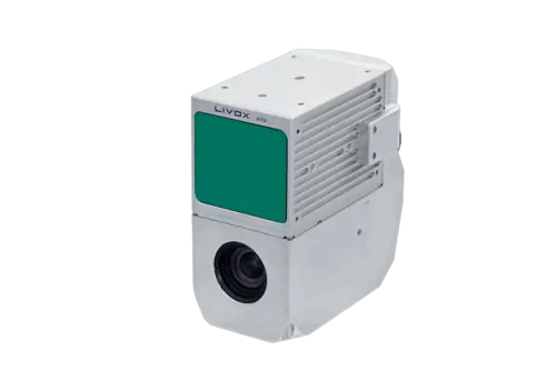
Additionally to the standard package that includes the remote control boat, single beam echosounder, and GNSS IMU sensor, the Apache 6 USV can be supplied with NORBIT multibeam echosounder and LIDAR scanner. Moreover, for detecting and distinguishing between fish and other debris underwater, the USV can also be equipped with a third-party fish finder transducer. The obtained data can be effectively used by researchers and engineers.
| Dimensions (L x W x H) |
180 x 55 x 25 cm |
| Weight (no instruments or battery) |
15 kg |
| Payload Capacity | 60 kg |
| Maximum Speed | 3.5 m/s |
| Remote Control Range | 1 km |
| Battery Endurance | 2-3 h (can be extended with additional batteries) |


