Researchers from NOAA’s Atlantic Oceanographic & Meteorological Laboratory (AOML) and the University of Miami’s Cooperative Institute for Marine & Atmospheric Studies utilized the Black Swift S0 drone in a series of NOAA Hurricane Hunter missions.
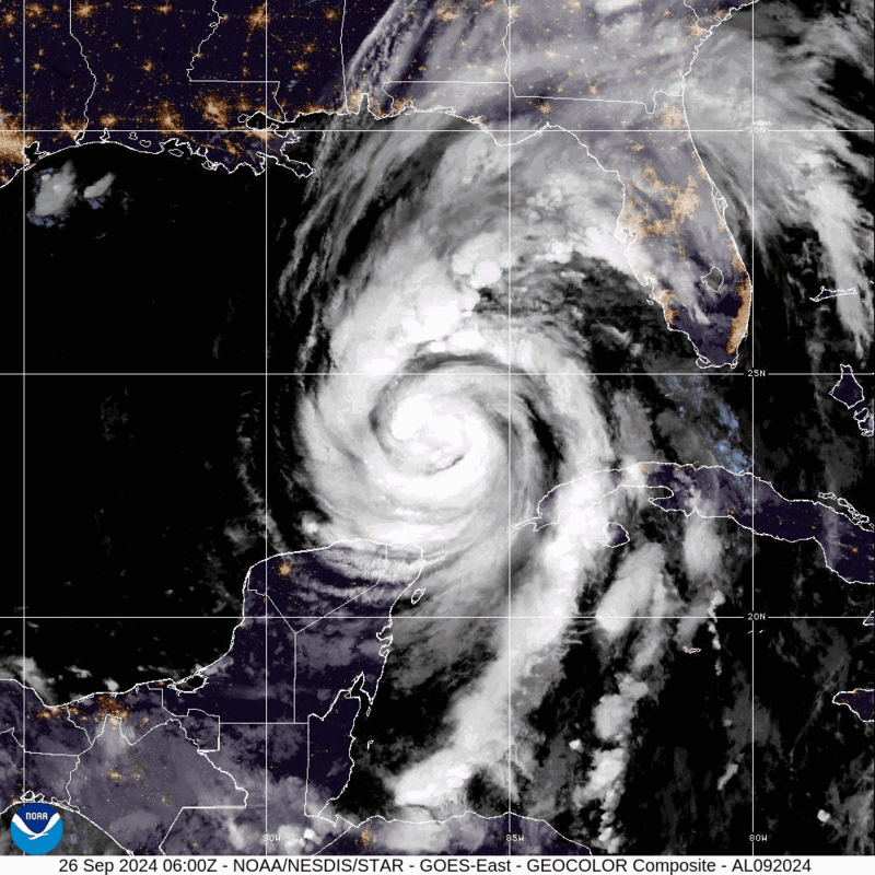
As Hurricane Helene intensified in the Gulf of Mexico, NOAA researchers collected essential data from both sea and air, aiming to enhance the understanding of tropical cyclones and support forecasters at the National Hurricane Center.
This real-time information provides meteorologists with a clearer view of the storm’s structure and environment, helping to reduce uncertainties in forecasting.
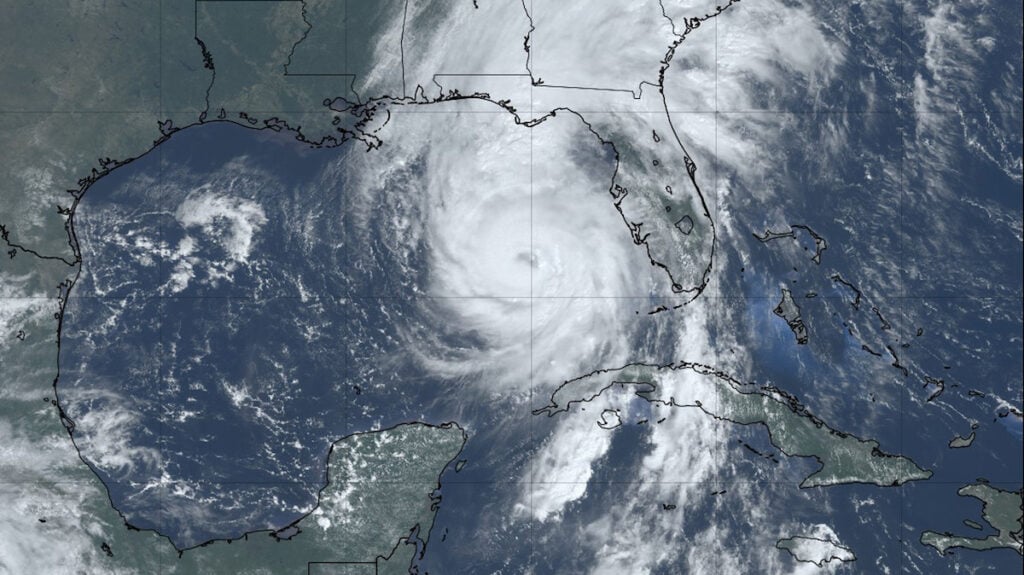
Satellite imagery shows Hurricane Helene as it travels north from the Yucatan Peninsula and towards the Gulf of Mexico. Credit: NOAA
Impact of the Black Swift S0
Employed alongside operational radar and dropsonde data, the Black Swift S0 compact uncrewed aircraft system (sUAS) is designed to collect atmospheric data from the lower levels of the storm, which have been largely inaccessible until now.
The rugged platform has been engineered to operate in extreme atmospheric conditions, and incorporates a comprehensive sensor suite that can capture a range of parameters including air temperature, wind speed and direction, dewpoint, and atmospheric pressure.
The Black Swift S0 sUAS is deployed from the underside of the P-3 aircraft and remotely controlled as it enters the storm’s lower layers, allowing scientists to study the boundary layer. This is the zone where the atmosphere meets the ocean, an area too turbulent for crewed aircraft.
During missions into Hurricane Helene, the Black Swift S0 reportedly achieved new records in flight duration and communication range. Once released, the S0 stayed airborne for a total of 105 minutes and covered a maximum distance of 169 nautical miles, continuously sending back data to researchers.
These longer flight times and extended range enable more prolonged data collection and access to harder-to-reach areas within the storm, allowing scientists to gather more comprehensive data, thereby enhancing the precision and breadth of their analyses.
Ocean Data Collection
Data gathering during Hurricane Helene wasn’t limited to the air; oceanic observations were collected using drifters, gliders, and buoys as the storm advanced.
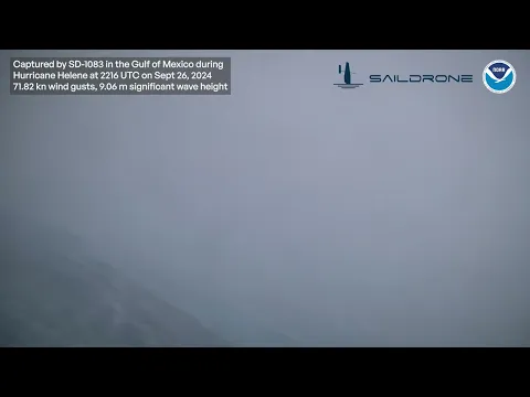
The ocean plays a crucial role in the formation and development of hurricanes, making it a central focus for storms like Helene. While the S0 collected data from above, researchers at AOML and NOAA’s Pacific Marine Environmental Laboratory guided two Saildrone uncrewed surface vehicles directly into Helene’s path.
These vehicles gathered data from just above and below the ocean’s surface, recording a peak wind gust of 95 kt (109 mph) and a maximum significant wave height of 9.5 m (31 ft) within about 20 miles of the storm’s core.
In a coordinated effort, AOML and the Scripps Institution of Oceanography also conducted an aerial deployment of drifting buoys—known as drifters—directly into Helene’s trajectory to measure upper ocean conditions, recording wave heights exceeding 8 meters (26 feet).
Find out more about the Black Swift S0 >>


