Products / Advanced Navigation / Certus GNSS-aided INS & AHRS

advanced nav square.webp

Software-Defined Inertial Navigation Systems (MEMS & FOG), and Acoustic Positioning Solutions

Advanced Navigation / Certus GNSS-aided INS & AHRS

Certus GNSS-aided INS & AHRS

Rugged GNSS-aided INS/AHRS with dual-antenna RTK receiver for drones and robotics

Socials
Certus GNSS-aided INS & AHRS

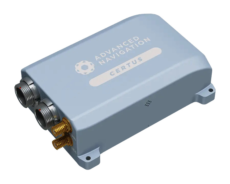
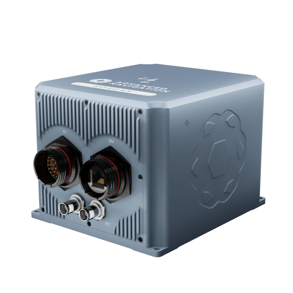
Certus is a rugged GNSS-aided INS/AHRS with a low SWaP footprint and dual antenna moving baseline RTK, providing high-accuracy measurements for drones and unmanned systems even in magnetically problematic environments.

The module supports all current and future satellite navigation systems, and delivers RTK position accuracy of 8mm, and roll, pitch and heading accuracy of 0.1°.

Certus features multiple interfaces including Ethernet, CAN, RS232, RS422 and GPIO, and supports all major industry standard protocols.

Certus is ideal for UAV and USV surveying, antenna and weapons platforms targeting, and stabilization of robotic systems.

Key Features:

  • Dual Antenna Heading
  • Free Multi-Constellation RTK
  • Ethernet, CAN, RS232, RS422 and GPIO Interfaces
  • Internal Data Logging
  • OEM or Rugged options

Performance:

  • 0.1 ° Roll and Pitch
  • 0.1 ° Heading
  • 8 mm RTK Positioning
  • 3 °/hr MEMS Gyroscope
  • 1000 Hz Update Rate
  • 2000 g Shock Limit

Other Products

Ultra-High Accuracy Dual-Antenna GNSS-aided INS/AHRS for UAVs and unmanned systems
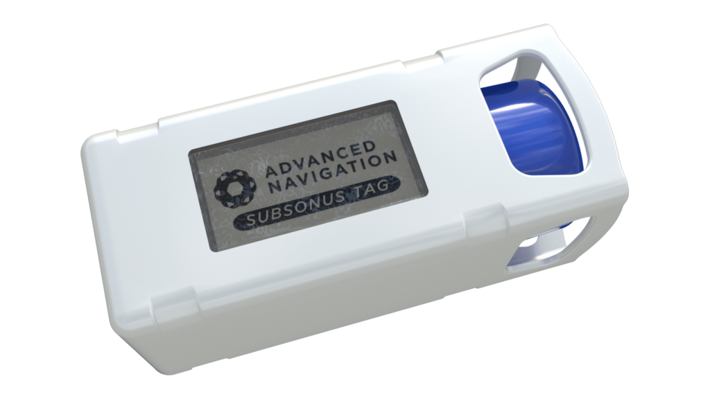
Low cost sensor for sub-sea remote sensing and tracking
Web-based GNSS/INS post processing software
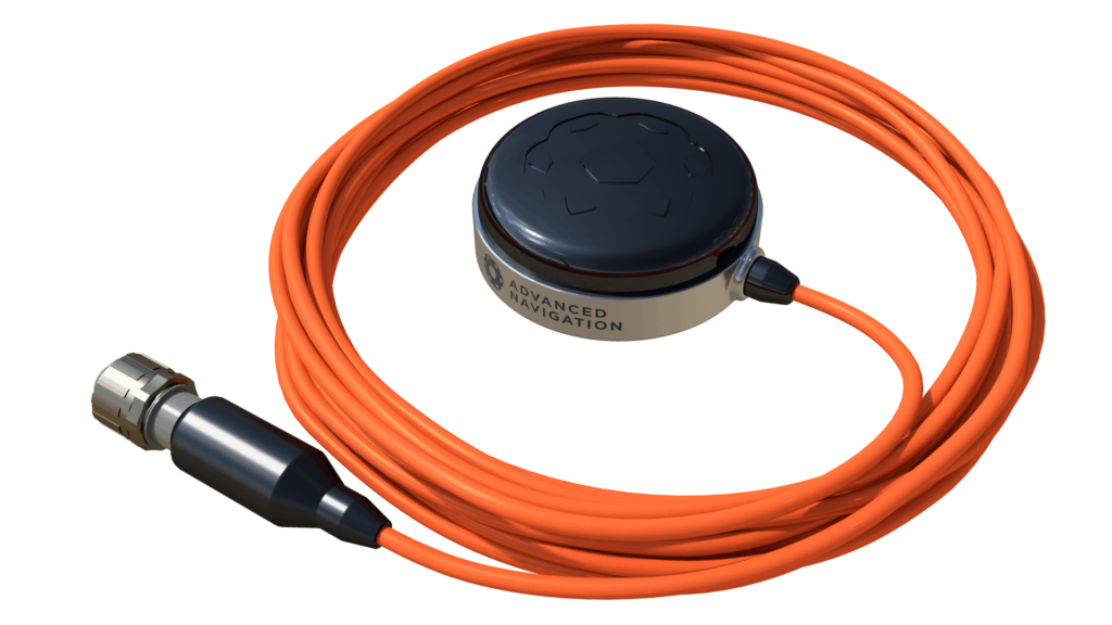
GNSS Antenna for underwater vehicles
Plug & play, fully integrated GPS/INS navigation and heading solution
High accuracy, miniature USBL for AUVs, ROVs
Rugged FOG INS with dual antenna heading
Ultra-high accuracy miniature inertial sensor for UAVs
The World’s First Fully Digital FOG
Micro-AUV for benthic survey and point inspection