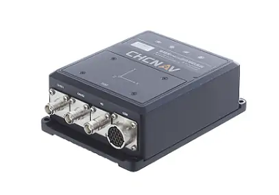
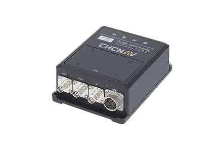
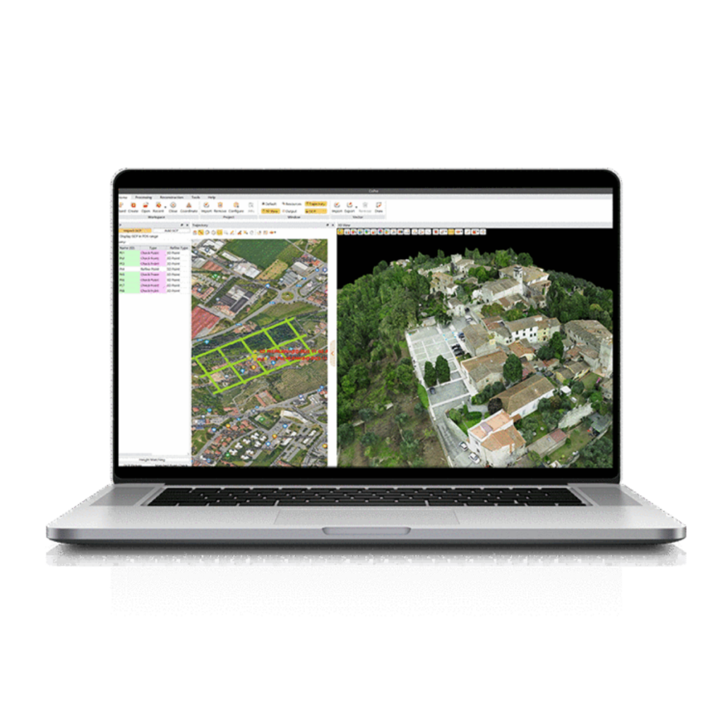
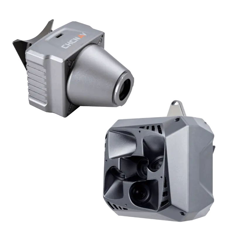
The CGI-610 GNSS/INS sensor is a high-precision dual-antenna receiver providing reliable and accurate navigation and positioning solutions for demanding ground, marine or aerial applications. Specifically designed to meet the requirements of 3D control and autonomous vehicle guidance applications, the CGI 610 is particularly efficient in urban canyons, when GNSS signals are lost and in other harsh environments where navigation results are easily degraded.
The tight fusion of the latest GNSS technology with an industrial-grade MEMS IMU is powered by CHCNAV algorithms to provide accurate hybrid position, attitude and velocity data up to 100 Hz.With its extremely rugged and lightweight enclosure, the CGI-610 GNSS/INS sensor is built to meet the highest protection standards and ensure uninterrupted performance.
| Size | 162 mm × 120 mm × 53 mm |
| Weight | 1.15 kg |
| Power consumption | < 5W typical |
| Attitude accuracy | 0.1° (Baseline length ≥ 2 m) |
| Position accuracy | Single 1.2 m DGPS 0.4 m RTK 1 cm + 1 ppm |
| Max data update rate | RTK Position 5 Hz INS Position/Attitude 100 Hz |
| Gyro bias stability | 2.5 deg/s |
| Accelerometer bias stability | 3.6 μg |


