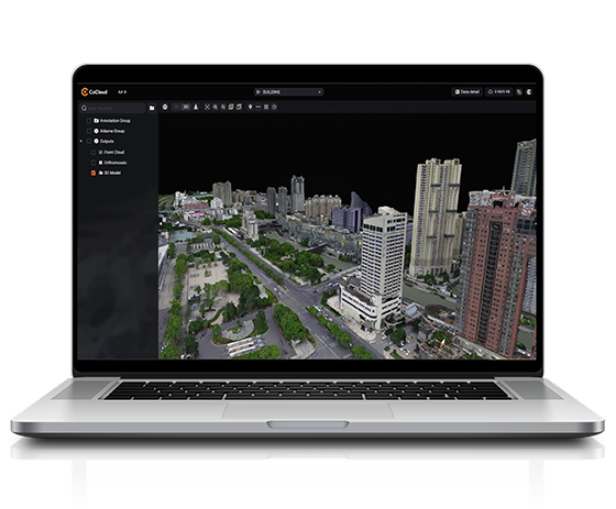
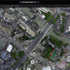
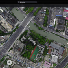
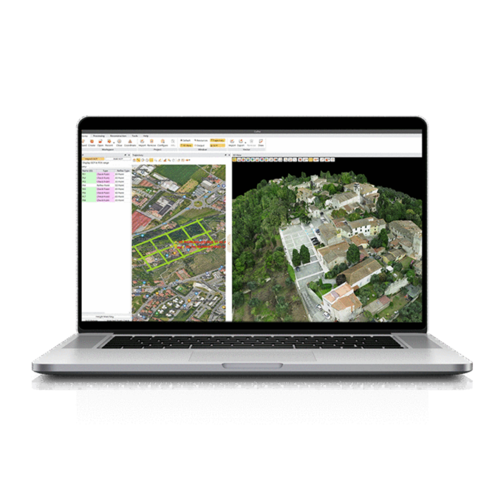
CHCNAV CoCloud is a fully cloud-native 3D data processing and management software engineered for survey-grade applications requiring high-fidelity photogrammetric outputs without reliance on local hardware. Designed to streamline demanding workflows, the platform supports processing and visualization of multi-source data including DOMs, dense point clouds, and OSGB models. Advanced photogrammetry engines ensure centimeter-level precision in orthophotos and textured 3D meshes, empowering drone mapping teams and geospatial professionals to achieve consistent accuracy across broad-scale survey missions.
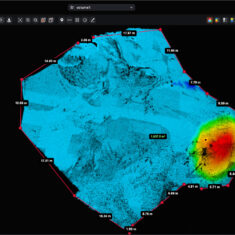
Offering one-click workflows and real-time collaboration, CoCloud replaces traditional desktop GIS tools with an agile, web-based experience tailored for UAV-derived data. The system supports full workflow integration through a robust API and private deployment capabilities—ideal for organizations prioritizing data security and internal systems alignment. Whether for urban planning, volumetric analysis, or asset inspection, CoCloud delivers a unified environment for 3D data acquisition, interpretation, and deployment.
| Input Data Support | Multi-source data (LiDAR, photogrammetry, imagery) |
| Output Formats | DOM, Point Cloud, OSGB Models |
| Core Engine | Advanced photogrammetry engine for high-precision rendering |
| Collaboration Tools | Real-time project sharing and editing |
| Deployment Options | Public cloud access, Private deployment, API integration |
| Usability | Intuitive UI with no specialized training required |
| Target Applications | Surveying, UAV mapping, urban modeling, volumetric analysis |


