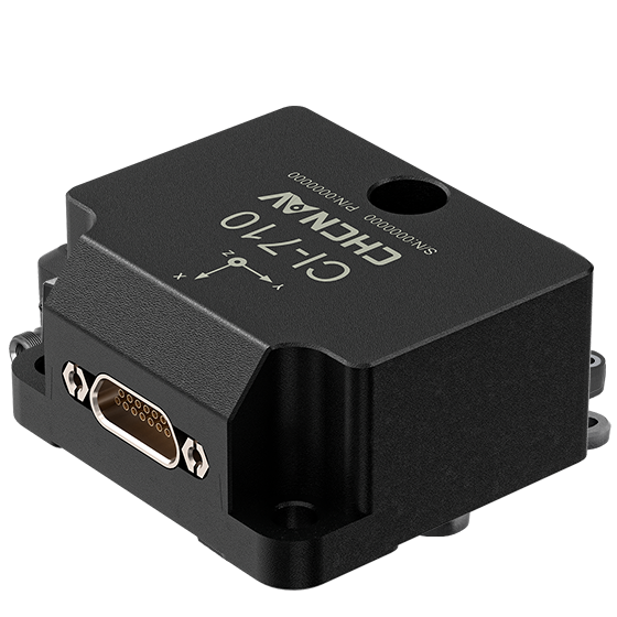
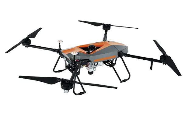
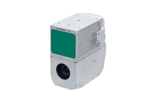
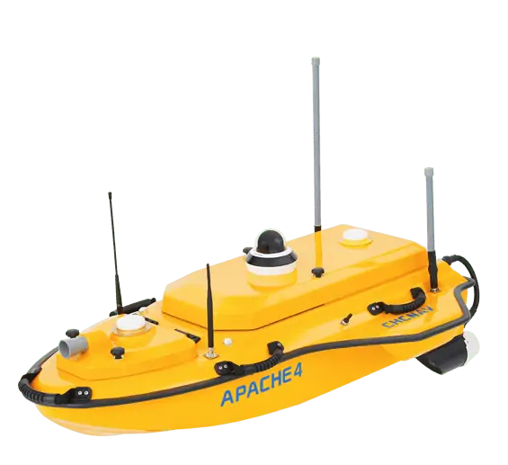
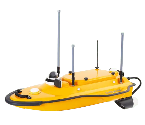
The CI-710 is a high-performance MEMS IMU (inertial measurement unit) that outputs three axes of angular rate and acceleration, as well as temperature data. Featuring advanced multi-sensor array calibration technology for enhanced reliability and redundancy, as well as an embedded VRU algorithm that measures roll and pitch, the unit is ideal for a variety of drone and robotics stabilization and control applications.
The system provides high-frequency data at 1000 Hz to suit the needs of high-dynamics measurement, and can output at up to 1500 Kbps via RS-422. A built-in 1PPS time synchronization capability provides accurate timestamping of data for high-precision requirements such as SLAM mapping.
Specifications:
| Dimensions: | 38.6 x 44.8 x 21.5 mm |
| Weight: | 48 ± 5g |
| Power Consumption: | <1W |
| Gyro Range: | ±400 o/s |
| Gyro Bias Instability: | 0.5o / h (Allan) |
| Gyro ARW: | 0.1o/√ hr |
| Accelerometer Range: | ±6 g |
| Accelerometer Bias Instability: | 20 μg (Allan) |
| Accelerometer VRW: | 0.035 m/s/√h |


