Products / SatLab Geosolutions / Cygnus 2 Handheld SLAM Scanner

satlabs geosolutions logo.webp

GNSS Positioning Solutions: RTK GNSS Receivers, UAV Base Stations for Surveying

SatLab Geosolutions / Cygnus 2 Handheld SLAM Scanner

Cygnus 2 Handheld SLAM Scanner

Precision portable scanner with centimeter-level accuracy

Socials
Cygnus 2 Handheld SLAM Scanner

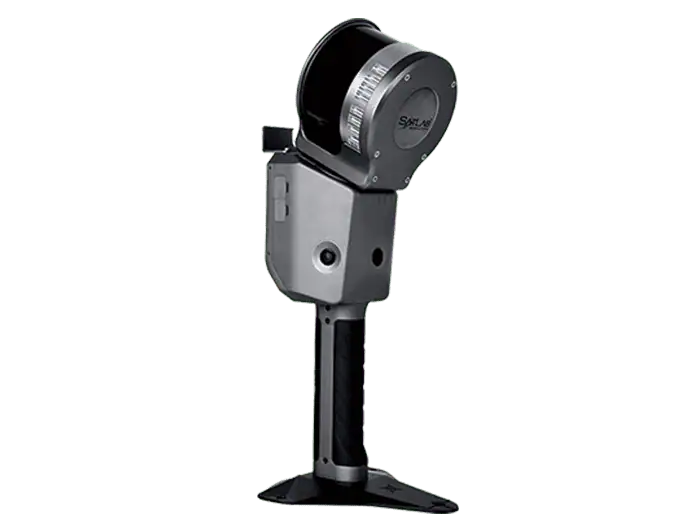
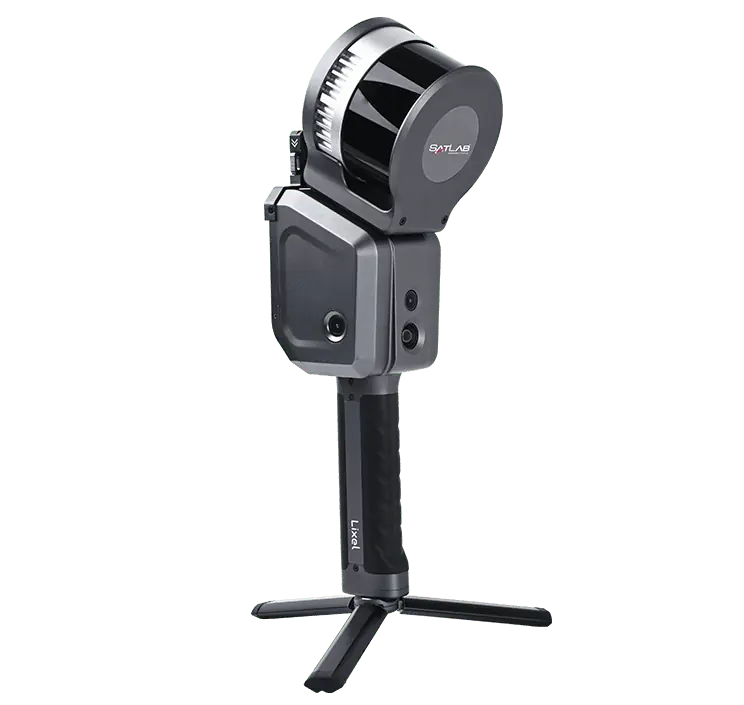
The Cygnus 2 handheld mobile scanner combines advanced LiDAR with visual fusion SLAM technology and RTK GNSS to provide high-density point cloud capture with unmatched accuracy of down to 1.5cm. Weighing just 1.9kg and providing a 90-minute battery life, it allows you to complete large projects in a single outing while minimizing operator fatigue.

The unit provides easy one-button operation and instant 3D modeling and data export, and is ideal for a wide range of applications including topographic mapping, volume and stockpile calculation, agriculture and construction.

Specifications:

Weight: <1.9 kg incl. battery
Range: 0.5 – 120 m
Accuracy: ±1.5 cm
FOV: 360o x 270o
Points per Second: 320,000
Battery Life: 1.5 hrs
Storage Capacity: 512 GB

Other Products

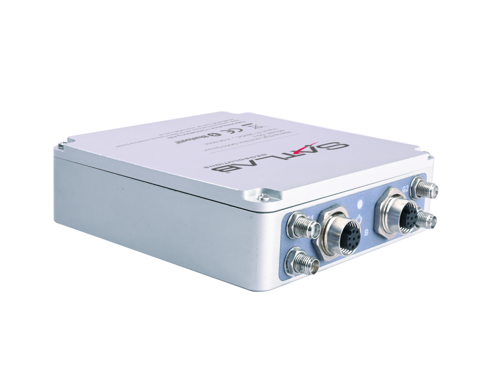
Full-constellation single/dual-antenna GNSS receiver for drones & robotics
Versatile RTK-capable base station for UAVs
Mobile 3D scanner for precise point cloud acquisition
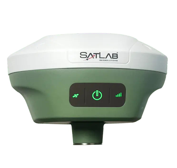
GNSS receiver with dual cameras for survey & stakeout
Multi-constellation receiver for marine applications
Towed sonar with dual-frequency capability
Current profiling system with flexible deployment
High-efficiency USV for bathymetric survey
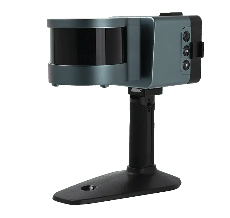
Lightweight 3D scanner for mapping and surveying
Multipurpose uncrewed vessel for hydrographic survey & monitoring