YellowScan has unveiled a powerful new point cloud enhancement tool designed to significantly boost the clarity and reliability of LiDAR data.
The company’s latest innovation, called Smoothing, introduces an intelligent solution for reducing ranging noise without compromising the precision and detail essential for geospatial analysis. With this development, YellowScan continues to address key challenges in the collection and processing of 3D data, delivering tools that improve data integrity across a wide range of professional applications.
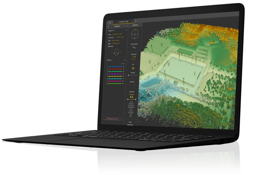
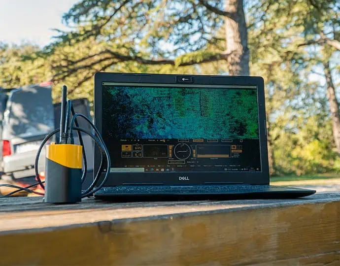
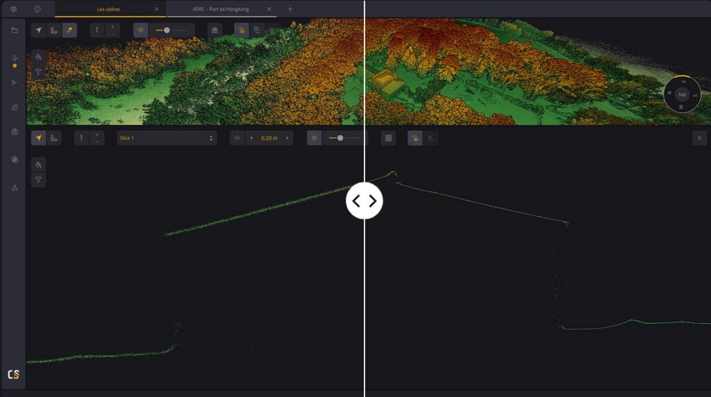
Smoothing empowers users with a one click feature that dramatically improves the quality of point clouds by minimizing the impact of noise that often obscures valuable measurements. Ranging noise, a persistent issue in many LiDAR datasets, can degrade the accuracy of 3D models and slow down workflows that depend on clean, reliable data. By applying targeted noise reduction, YellowScan’s Smoothing feature allows users to generate more consistent and dependable outputs, enhancing project outcomes in fields such as surveying, construction, forestry, archaeology, and autonomous systems development.
Ease of use is central to the new feature. The Smoothing function is engineered for straightforward implementation, requiring no specialized training or complex processes. Users simply select the desired smoothing strength, tailoring the effect to their specific project needs. Whether working in dense vegetation or urban infrastructure, the adjustable parameters ensure the right balance between noise suppression and detail preservation. Critical features such as terrain edges, structural lines, and foliage are carefully retained, enabling accurate interpretation without data loss.
As LiDAR continues to play a growing role in precision mapping and automated systems, YellowScan’s Smoothing capability represents a meaningful advancement. It supports more confident decision making by producing cleaner datasets that are easier to visualize, analyze, and integrate. This new feature not only improves immediate processing efficiency but also enhances the long term value of point cloud data by ensuring higher quality results from the outset.


