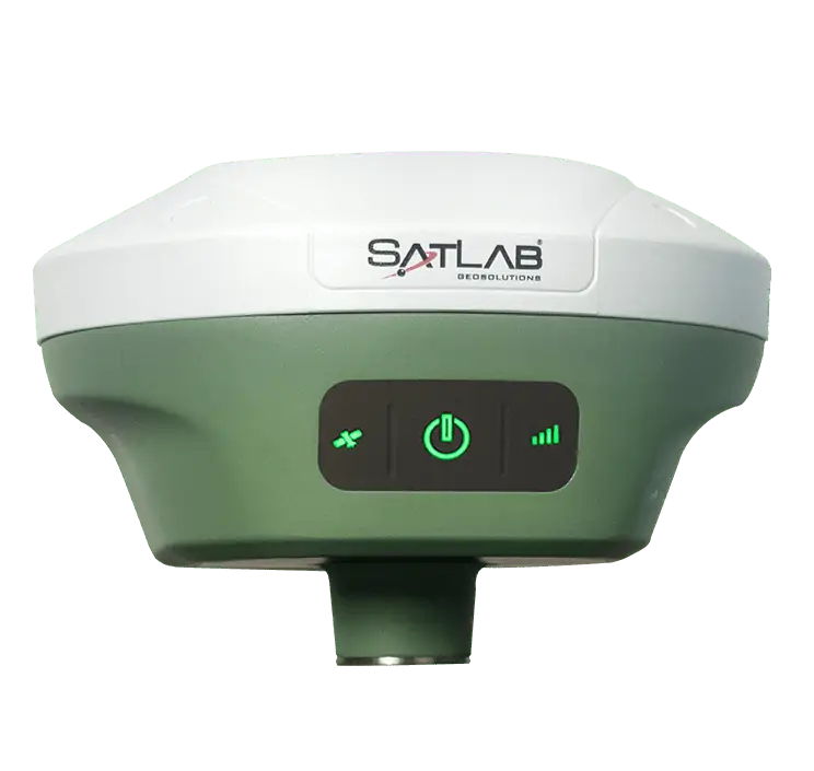
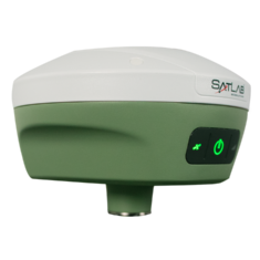
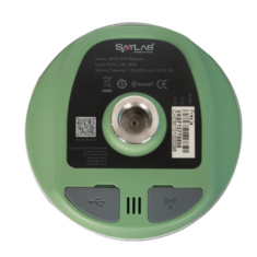
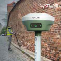
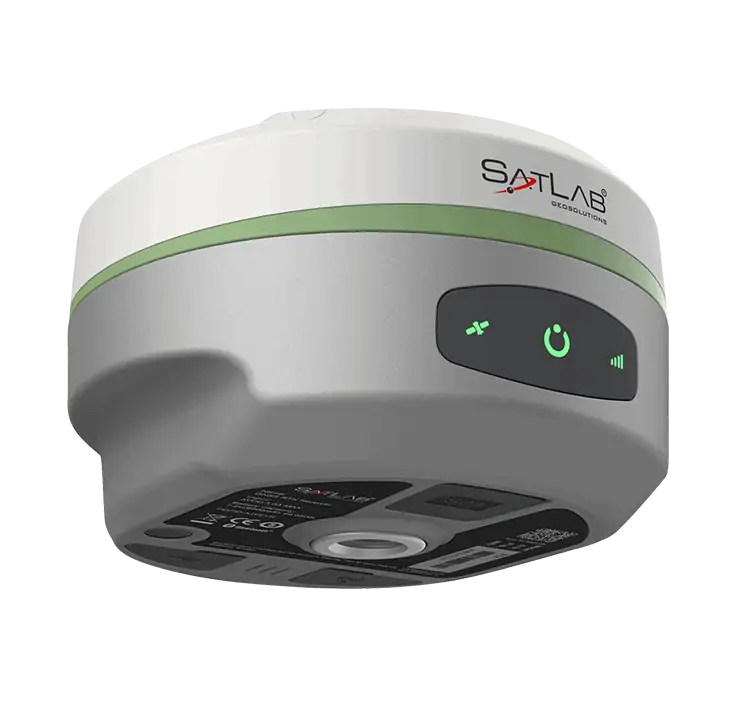
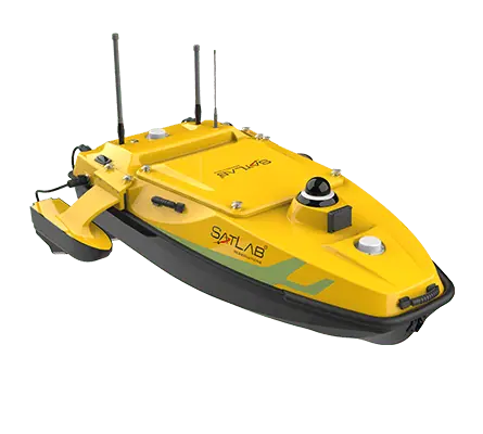
Freyja is an advanced RTK-capable GNSS receiver that is ideal for deployment as a UAV reference station for professional mapping and surveying applications. Delivering highly reliable GNSS corrections for the utmost in accuracy, the full-constellation and full-frequency receiver is an indispensable tool for surveyors in the field.
Weighing just 800g, the rugged receiver is easy to carry and deploy and provides a battery life of over 12 hours. The unit’s state-of-the-art built-in antenna features enhanced anti-interference capabilities and tracking at low elevation angles. Advanced tilt compensation algorithms and a high-performance 9-axis IMU guarantee stable results even under difficult conditions.
Freyja includes built-in UHF radio, Bluetooth and Wi-Fi communications, with an adjustable data output rate of 1 to 20 Hz.
Specifications:
| Dimensions (W x H) | 132 × 67 mm |
| Weight | 800g |
| Power Consumption | 4.2W |
| GNSS Signal Tracking |
GPS (L1 / L2 / L5 / L2C) BDS (B1 / B2 / B3 / B1C / B2a) GLONASS (L1 / L2 / L3) Galileo (E1 / E5 AltBOC / E5a / E5b / E6) SBAS(L1 / L5) QZSS (L1 / L2 / L5 / L6) IRNSS (L5) |
|
Positioning Performance (Code Differential GNSS Positioning) |
H:±0.25 m+1 ppm RMS V:±0.5 m+1 ppm RMS SBAS: 0.5 m H, 0.85 m V |
|
Positioning Performance (RTK) |
H: 8mm+1ppm RMS V: 15mm+1 ppm RMS |
| Channels | 800+ |


