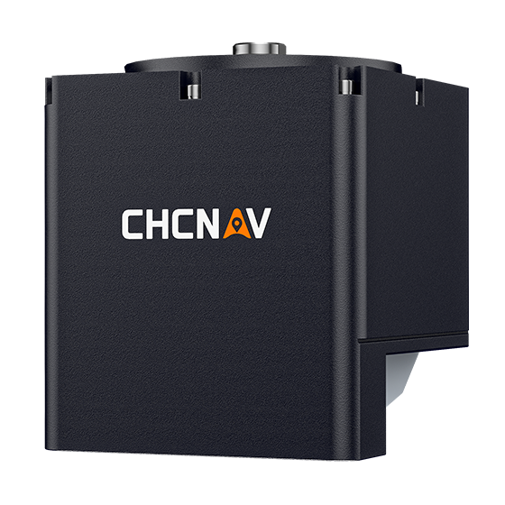
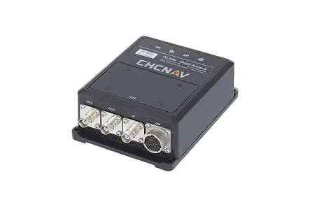
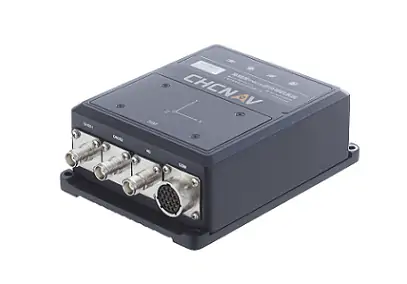
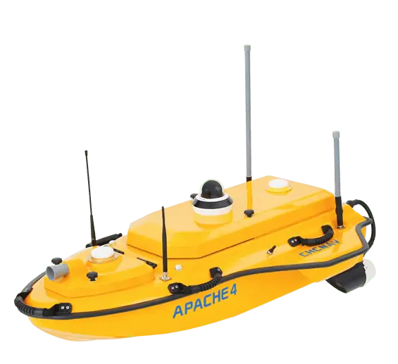
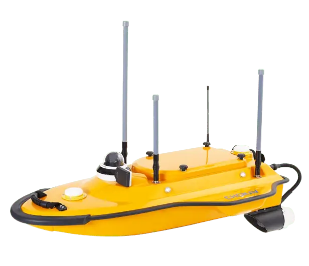
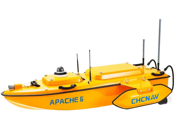
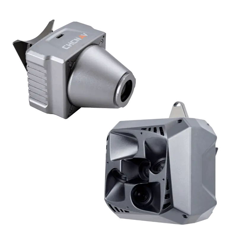
The HQ-400 is a lightweight and portable multibeam echosounder that is ideal for a range of USVs (uncrewed surface vessels), collecting high-resolution data for precise and accurate bathymetric and hydrographic surveys. The all-in-one system integrates sonar, temperature sensors, compass and pre-calibrated IMU into a single unit, and offers flexible installation options for quick and easy setup and deployment.
With accurate depth measurement and compensation for roll, pitch, and yaw, the HQ-400 enhances the quality and reliability of survey data. The system provides a range of advanced features including tilt measurement, real-time roll stabilization, near-field focusing, and water column imaging.
Specifications:
| Dimensions: |
Sonar: 125 x 125 x 130 mm Deck unit: 125 x 125 x 42 mm |
| Weight: |
Sonar: 2.7 kg Deck unit: 0.5 kg |
| Power Consumption: | 25W average |
| Depth Range: | 0.2 – 150 m |
| Resolution: | 1 cm |
| Swath Coverage: | 140o |
| Frequency: | 400 kHz ± 20 kHz |


