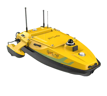
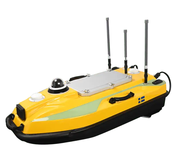
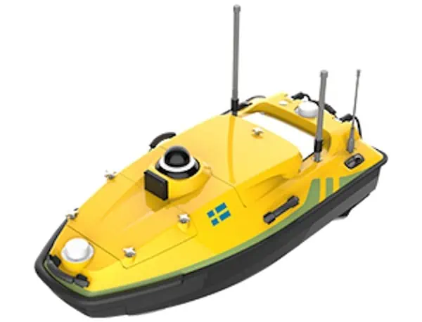
The HydroBoat 1500 is a versatile USV driven by four powerful thrusters and designed to carry out underwater topographic surveys of lakes, rivers, reservoirs and other bodies of water. With a payload capacity of 60 kg, it is ideal for equipping with the SatLab HydroBeam M4 portable multibeam echosounder, as well as a variety of other payloads such as side scan sonars and ADCPs.
The robust vessel is IP67-rated for maximum durability, and includes a millimeter-wave radar and 360° omnidirectional camera for accurate obstacle detection and safe navigation. It is equipped with a dual RF and 4G cellular communications system, allowing it to be operated at effectively unlimited range.
Specifications:
| Dimensions (L x W x H) |
Monohull: 1528 x 694 x 494 mm Trimaran: 1528 x 1034 x 494 mm |
| Weight | 40 kg (no battery) |
| Max Payload | 60 kg |
| Max Speed | 5.7 m/s |
| Endurance |
4.5 hrs @ 1.5 m/s with two batteries (vessel can take up to six batteries) |
| GNSS Performance |
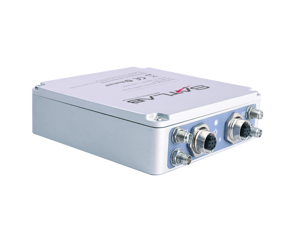
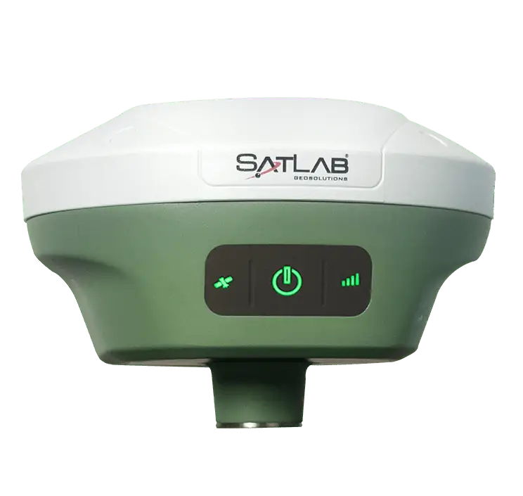
RTK positioning accuracy: H ±8mm + 1 ppm RMS, V ±15mm + 1 ppm RMS Heading accuracy: 0.2° @1m baseline INS Accuracy: 2.1°/h, <1m/20s |


