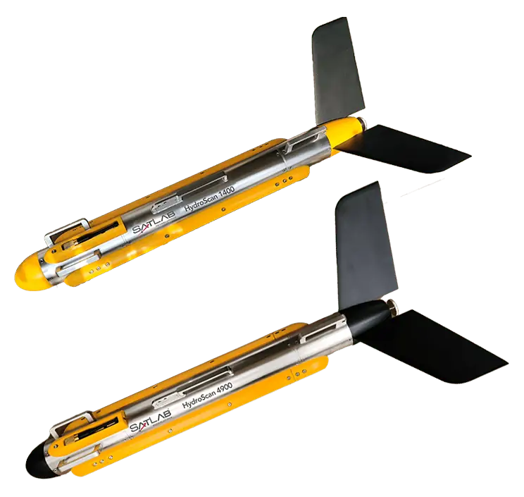
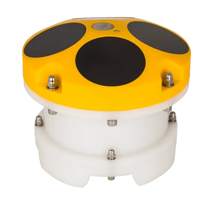
The HydroScan is a towed side scan sonar system that uses simultaneous dual-frequency scanning to provide clear underwater imaging, switching freely between continuous waveform and chirp modes for enhanced anti-noise performance. An ultra narrow beam angle of 0.2° allows resolution of up to 1.25cm, making it easier to recognize smaller objects.
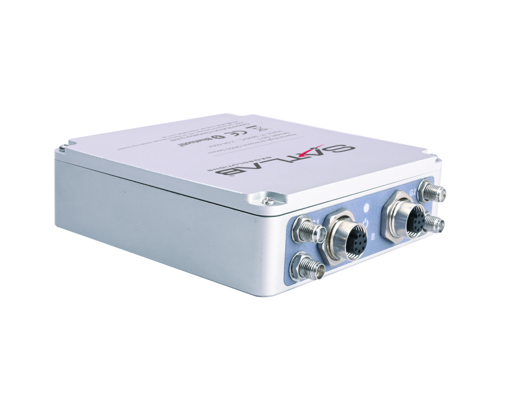
The complete solution includes a stainless steel towfish, waterproof topside processor and SLHydro software. Frequency options include 100, 400 and 900 kHz. HydroScan is ideal for a wide range of applications including cable and pipeline survey, mine countermeasures, dredging, archaeology, search and recovery, and more.
| HydroScan 1400 | HydroScan 4900 | |
| Frequencies | 100 kHz & 400 kHz | 400 kHz & 900 kHz |
| Dimensions | 105 x 1300 mm | 105 x 1170 mm |
| Weight | 30 kg | 26 kg |
| Power | 40W max | 30W max |
| Depth Rating | 1000 m | 1000 m |
| Maximum Range |
450m@100kHz 150m@400kHz |
150m@400kHz 75m@900kHz |


