
High-Resolution Aerial Survey of San Miguel Mission by IF800 Tomcat Drone
Innovative Surveying with the IF800 Tomcat Drone
The IF800 Tomcat drone,developed by Inspired Flight,recently undertook a notable survey of the historic San Miguel Mission in California. This mission utilized a Sony ILX-LR1 camera paired with a 35 mm lens to capture detailed imagery.
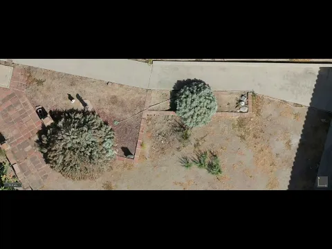
The primary goal was to produce an orthomosaic map of the site, which is crucial for historical documentation, conservation efforts, and potential restoration projects. The drone successfully captured 490 images at a resolution of 61 megapixels from an altitude of 60 meters, providing a rich dataset for further analysis.
With a total flight duration of 34 minutes and 20% battery life remaining upon landing, the data gathered is expected to play a vital role in the preservation of this historically significant site.
Meaning of Mission San Miguel Arcángel
Founded in 1797,Mission San Miguel Arcángel is a key cultural and historical landmark situated in San Luis Obispo County,California. Its preservation is crucial for future generations to understand and appreciate the architectural and cultural heritage of early California.
Utilizing modern drone technology allows for the efficient capture of high-resolution data without disturbing the site, aiding archaeologists, conservators, and historians in their efforts to protect this crucial location.
Objectives of the Aerial Survey
The advanced IF800 Tomcat drone was chosen for this mission due to its ability to carry heavier equipment and maintain stable flight in sensitive environments. The main objectives included:
- Producing high-resolution aerial imagery to create an orthomosaic map of the San Miguel mission.
- Documenting the current state of the site using non-invasive aerial techniques.
- Generating accurate spatial data to support future archaeological and preservation initiatives.
Survey Specifications
Equipment Overview:
- Drone Model: IF800 Tomcat
- Camera: Sony ILX-LR1 with a 35 mm lens
- Flight Altitude: 60 meters above ground level
- Total Images Captured: 490
- Image Quality: 61 megapixels
- Flight Duration: 34 minutes (with 20% battery remaining)
Understanding Ground Sample Distance (GSD)
Ground Sample Distance (GSD) is a critical metric in aerial mapping,indicating the spatial resolution of the images captured. The combination of the 35 mm lens and 61-megapixel sensor at a height of 60 meters resulted in a GSD of approximately 0.9 cm/pixel.This level of detail is essential for creating an accurate orthomosaic map, revealing intricate features such as cracks and structural details.
Flight Planning and image Acquisition
The mission was meticulously planned to ensure complete coverage of the site.The drone followed a grid pattern with an 80% overlap between images, ensuring thorough documentation and redundancy for precise 3D reconstruction and photogrammetry.
the IF800 Tomcat demonstrated stable flight capabilities, completing the mission with a 20% battery reserve, showcasing its endurance for extended operations in critical environments.
Data Integration and Analysis
The 490 images captured were processed using advanced photogrammetry software to create a high-resolution orthomosaic map. This map provides a geo-referenced visual portrayal of the area, suitable for detailed analysis and record-keeping.
The Role of drone Technology in Historic Site Preservation
Historic sites like mission San Miguel Arcángel face threats from natural decay, human activity, and environmental changes. Drone surveys mitigate the risk of disturbing delicate sites, as they require no physical interaction with the area.
The high-resolution imagery and precise mapping facilitate detailed monitoring of changes over time, allowing for early detection of deterioration. Additionally,drone surveys are frequently enough more cost-effective than conventional methods and can cover larger areas in a shorter time frame.
The data collected can be utilized for various applications, including 3D modeling, conservation planning, and virtual tours of the site.
For Mission San Miguel, the high-resolution orthomosaic map acts as a digital record of the site’s current condition, enabling historians and conservators to track changes, make informed preservation choices, and prioritize areas requiring attention.
This mission highlights the importance of drone technology in archaeology and historical documentation, allowing for efficient and precise data collection that supports the long-term preservation of culturally significant sites. The IF800 Tomcat stands out as a capable platform,equipped with the endurance,stability,and payload capacity necessary for detailed aerial surveys in challenging conditions.


