Kongsberg Geospatial and Hanwha: A Strategic Partnership for Canadian Defense
Kongsberg Geospatial has entered into a partnership with hanwha Defense USA to enhance the Canadian land systems initiative.
Local Integration and Support for Advanced Artillery Systems
As part of this collaboration, Kongsberg Geospatial (KG), the Canadian branch of Kongsberg Defence and aerospace, will oversee the integration and support of the Integrated Combat Solution (ICS) software for the Hanwha K9/K10 self-propelled howitzer systems.
Strengthening Economic Ties and Job Creation
This alliance is poised to bolster international relationships and generate substantial Canadian content over the coming years. The partnership is expected to yield significant economic benefits, foster meaningful collaborations, and create job opportunities in Ottawa, establishing KG as a premier software development hub for Canadian military programs.
Innovative Technology for Enhanced Decision-Making
KG will customize and support the ICS solution,which incorporates the canadian-developed TerraLens (TL) Software Development Kit (SDK). This technology will empower the ICS to visualize extensive track data with real-time accuracy from within the vehicles, enabling commanders to make informed tactical decisions against potential threats. The ICS represents a forward-thinking digital solution for combat platforms, with variants already operational in allied nations such as the USA, Australia, Norway, and Finland, thereby minimizing deployment risks for Canada.
commitment to Canadian Armed Forces Initiatives
KG’s investment in developing locally-sourced software underscores its dedication to aligning with the Canadian Armed Forces’ Digital Campaign Plan. The introduction of ICS in Canada could pave the way for further enhancements to the K9 artillery systems, creating additional opportunities for development, training, and maintenance within the country.
A Comprehensive and Flexible System
The ICS is a fully integrated system designed to provide a digitized platform for both new and existing military vehicles. Its core feature is flexibility, allowing it to be platform-agnostic and easily adaptable. The solution is capable of supporting complex systems where crew members collaborate closely to fulfill their missions across various subsystems, as well as simpler setups for individual users.
Enhancing Operational Efficiency
For the K9 systems, the ICS integrates all subsystems into a cohesive total system, significantly boosting crew efficiency and reducing response times. The vehicle itself functions as a subsystem, granting all other subsystems access to vital vehicle facts. The proven configuration of ICS markedly enhances the operational capabilities of the K9 howitzers.
Voices from Leadership
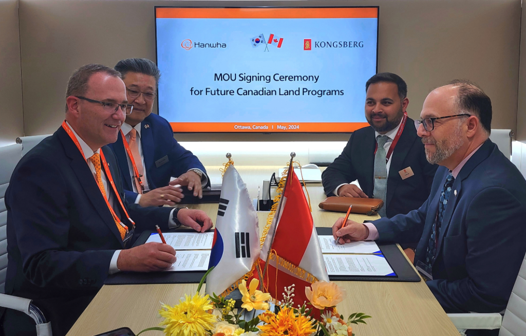
Tuhin Das, Director of Business Development for Canada at Kongsberg Geospatial, remarked, “It’s truly exciting to contribute to KG’s growing presence in Canada and to explore new market opportunities. With the memorandum of Understanding signed with Hanwha, we are eager to introduce a world-class digital integration platform for the immediate and future land programs of the Canadian Army.”
James Kim,Senior Director of Business Development at Hanwha defence,added,“We are thrilled to embark on this journey with Kongsberg in Canada. We recognize the various capabilities that Canada requires, and the synergy from our collaboration will play a crucial role in the modernization goals of the Canadian Army.”


