Blue Marble Geographics discusses ecological restoration with advanced LiDAR and GIS tools.
In an episode of the company’s GEOTalks Podcast, Dr. Arturo Sanchez-Azofeifa shares how his research team is leveraging LiDAR data and Global Mapper® to study secondary tropical dry forests in Costa Rica, an ecosystem critical to biodiversity and climate resilience.
This work takes place in the Guanacaste Conservation Area of Santa Rosa National Park, where decades of deforestation have given way to forest regeneration through a process known as secondary succession. These rebounding landscapes, though rich in biodiversity, pose significant challenges for field-based monitoring. Using remote sensing tools, Dr. Sanchez-Azofeifa’s team has developed non-invasive, scalable methods to map forest structure and track ecological indicators.
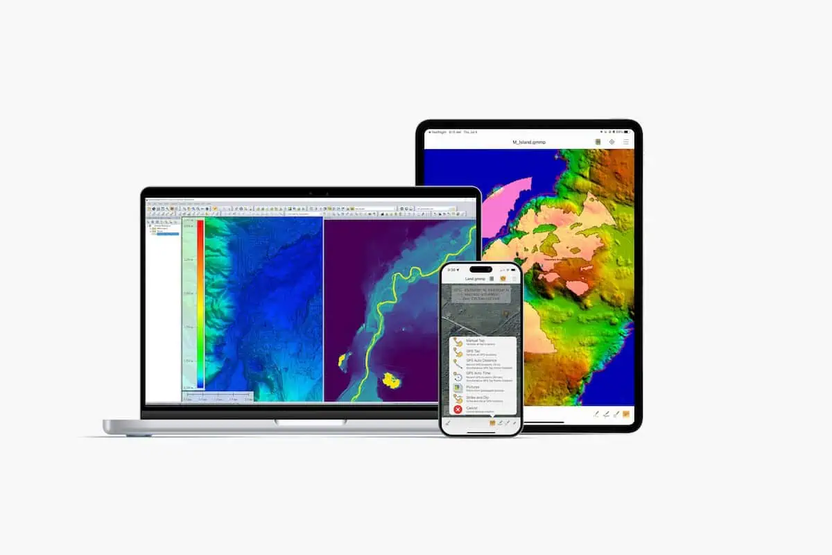
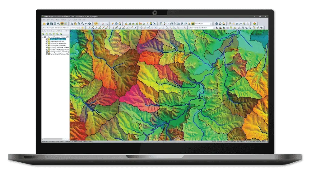
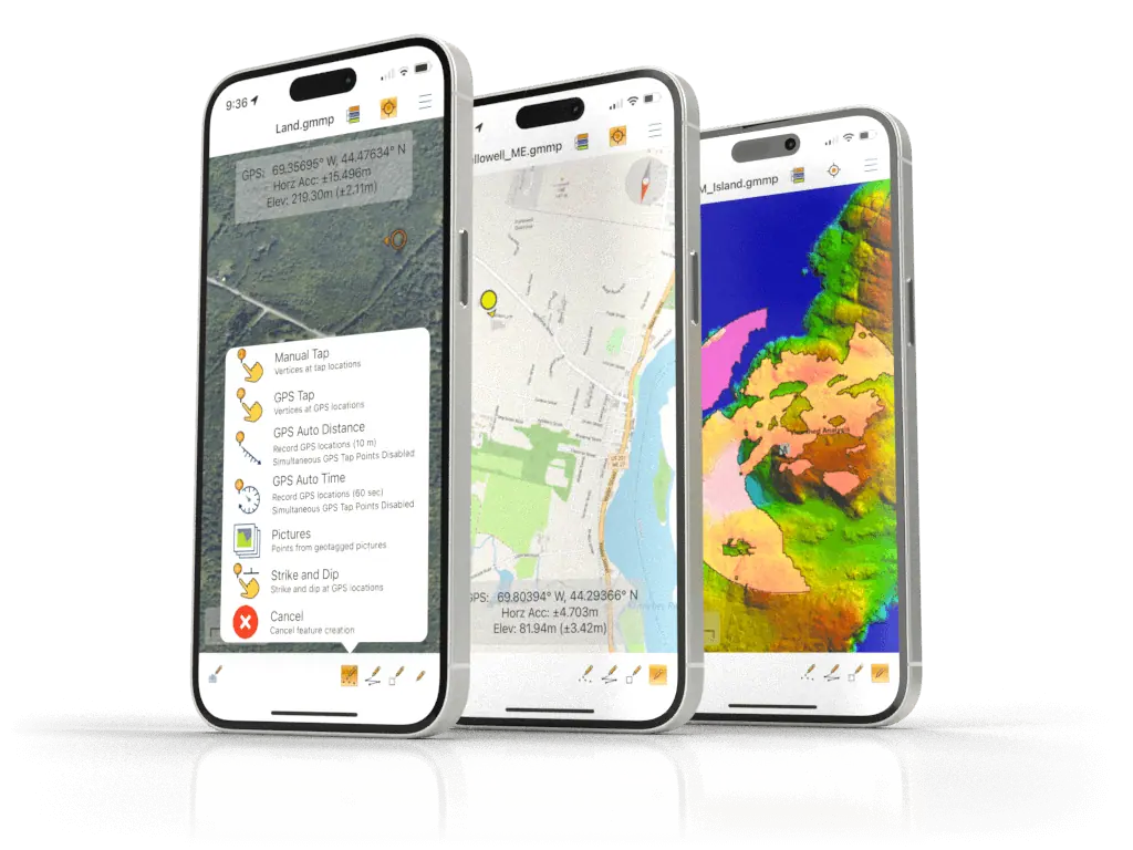
At the center of this workflow is Blue Marble’s Global Mapper® and the accompanying Global Mapper LiDAR Module, platforms that streamline the visualization, classification, and analysis of high-resolution point cloud data.
In the podcast, Dr. Sanchez-Azofeifa explains how his team uses these tools to identify changes in forest canopy, isolate specific vegetation types like lianas (woody vines), and address the environmental challenges of working in complex tropical terrain.
He also discusses the practical realities of ecological research, including time constraints, unpredictable weather, and the importance of accurate and rapid data visualization. With LiDARs ability to penetrate the canopy and Global Mapper’s advanced processing capabilities, researchers can now observe and document regeneration patterns that would otherwise be invisible using traditional field methods alone.
Learn more about this project and Blue Marble Geographics’ professional-grade GIS solutions in the article “Understanding Secondary Tropical Dry Forests with Lidar Technology”.
Listen to the Podcast here:
