Explore how a project in Australia’s Daintree Rainforest uses RIEGL LiDAR and unmanned systems to map forest structure and monitor microclimates, offering vital insights into how forests help buffer the effects of climate change. Find out more > >
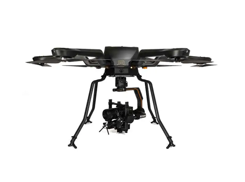
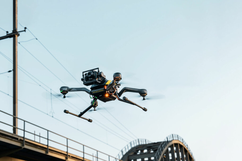
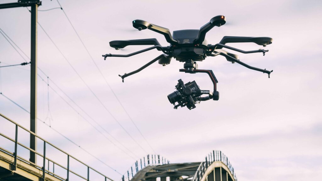
UAV equipped with RIEGL VUX-120 scanner.
Led by the Q-ForestLab team from Ghent University, the initiative uses a multi-platform approach, including terrestrial, UAV-based, and airborne LiDAR, to measure how forest structure affects microclimate buffering and biomass dynamics.
The campaign, conducted from June to September 2024, focused on 16 rainforest plots in North Queensland’s Wet Tropics, including the ancient and biodiverse Daintree Rainforest. These plots are part of the Queensland Permanent Rainforest Plots (QPRP) network and serve as key sites for long-term ecological monitoring. The effort was supported by TERN, CSIRO, and Sylvera, with particular emphasis on the Daintree Rainforest Observatory, which features a canopy crane and drought experiment plots.
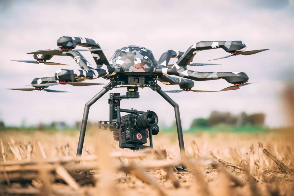
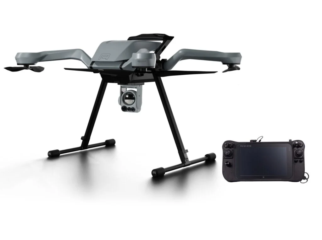
To capture detailed 3D structural data, the team employed three RIEGL LiDAR systems. Terrestrial Laser Scanning (TLS) using the VZ-400i was performed across all 16 plots, generating high-resolution data from the ground up. UAV-based Laser Scanning (ULS) was deployed using the lightweight RIEGL VUX-120 sensor mounted on the Acecore NOA drone, capturing vertical canopy and trunk structures. Airborne Laser Scanning (ALS), also using the VUX-120, was conducted from a helicopter to map the broader 65,000-hectare landscape.
In parallel, 190 microclimate sensors were installed across the plots to monitor temperature and humidity every hour. This high-density dataset provides insights into how structural variation influences microclimate regulation—critical for understanding forest resilience under climate stress.
By integrating TLS, ULS, ALS, and microclimate data, the project delivers a multi-scale view of how tropical forests respond to disturbance and buffer environmental extremes. It also highlights the essential role of unmanned systems and remote sensing technologies in advancing climate science and ecosystem management.
Read the original article.


