
Advanced Navigation’s LiDAV system is pioneering a new era in laser-based distance and velocity measurement. Discover more >>
This innovative,patent-pending technology features a navigational sensor that achieves remarkable accuracy in measuring distance and velocity while utilizing fewer components than conventional systems with similar capabilities.
Overview of the Technology
Historically, laser photonics systems designed for measuring velocity and range have faced limitations that hinder their broader request.
For example, while a frequency-modulated laser may excel within its designated range, the data collected beyond this range can frequently enough be ambiguous.This limitation frequently necessitates the use of multiple systems or additional sensors to accommodate varying distances.
LiDAV addresses these challenges by enabling simultaneous measurement of velocity and range through advanced laser technology. by incorporating specially engineered components that utilize digitally enhanced waveform interferometry along with single-frequency laser photonics,LiDAV significantly extends its operational range and provides outstanding accuracy for three-dimensional velocity measurements,thereby broadening the technology’s applicability and value.
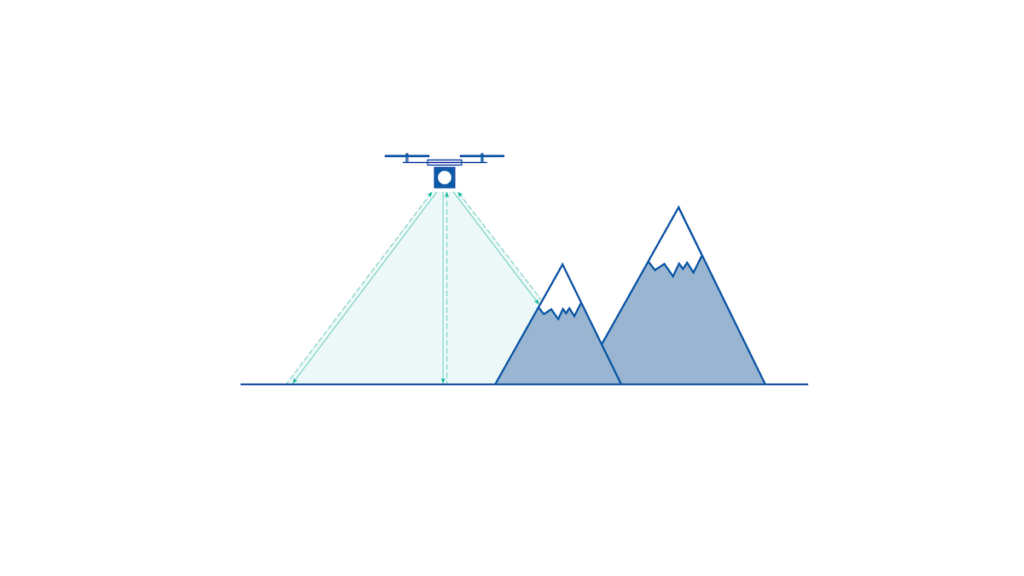
The system determines velocity and position in relation to the ground and surrounding objects by emitting modulated laser beams toward surfaces. The reflected light is captured by optical sensors, and by analyzing specific characteristics of these reflections, LiDAV can accurately calculate both the distance to the illuminated surface and the sensor’s 3D velocity.
Applications of LiDAV Technology
LiDAV sensors are versatile and can be applied across various fields, including:
- Ground vehicles – autonomous systems, scenarios with compromised GNSS, defense applications, underground mining, and precision navigation
- Unmanned aerial Vehicles (UAV) – lightweight drones, fixed-wing aircraft, VTOL aircraft, helicopters, navigation, takeoff, landing, situational awareness, and defense in GNSS-compromised environments
- Fixed-Wing Aircraft – takeoff, landing, situational awareness, hazard avoidance, and navigation
- Spacecraft (particularly landing vehicles) – takeoff, landing, situational awareness, hazard avoidance, and navigation

Integrating LiDAV Technology
LiDAV offers a groundbreaking solution for measuring range and velocity across various vehicles. VTOL aircraft and ground vehicles are particularly well-suited for this technology. As the demand for autonomous vehicles and compatible guidance systems grows, the precision and adaptability of LiDAV will accelerate its adoption.
The system’s ability to provide accurate orientation data makes it an invaluable tool for navigation. When combined with an inertial navigation system (INS), LiDAV significantly improves the performance of dead-reckoning navigation.
This integration will enhance autonomous navigation capabilities and set new standards, especially in environments where GNSS signals are unavailable or where there is a need for resilience against compromised satellite signals.
LiDAV functions independently of external signals, making it resistant to jamming. beyond its advantages in GNSS-denied scenarios, LiDAV is also crucial in applications requiring precise, real-time awareness of a vehicle’s altitude and orientation relative to the ground.
LiDAV’s Role in Space Exploration
The innovative U.S.-based company, Intuitive Machines, has selected Advanced Navigation’s LiDAV technology for its autonomous lunar landers, exploratory rovers, and drones.these vehicles are part of a fleet contracted by NASA under the Artemis program, wich aims to facilitate extensive lunar exploration.
The Artemis initiative includes the Commercial Lunar Payload Services (CLPS), which focuses on delivering scientific and technological payloads to the lunar surface using Intuitive Machines’ lunar landers.
Explore the full article to delve deeper into LiDAV technology >>


