
Advanced Navigation’s light detection altimetry and velocimetry (LiDAV) system is setting a new standard for laser-based distance and velocity measurement. Read more >>
This patent-pending technology introduces a navigational sensor capable of measuring distance and velocity with remarkable precision, utilizing less hardware than other systems with comparable features.
Technology Introduction
Laser-based photonics systems that measure either or both velocity and range have typically been limited by critical factors that restrict the application of the technology.
For instance, a frequency-modulated laser may perform exceptionally well within its specified range; however, data obtained from the system outside this range may be unclear. In practical terms, this often necessitates multiple systems or additional sensors to cover varying ranges.
The LiDAV technology enhances the capability for simultaneous velocity and range measurement using lasers. By integrating specially developed components that employ digitally enhanced waveform interferometry alongside single-frequency laser photonics, LiDAV offers extended range and exceptionally high accuracy for three-dimensional velocity measurement, significantly expanding the usage and value of the technology.
LiDAV measures velocity and position relative to the ground and nearby objects by emitting modulated laser beams toward the surface. The reflected laser light is captured using optical receiver sensors, and by analyzing specific properties of the reflected beams, the range between the laser and illuminated surface, as well as the 3D velocity of the sensor, can be accurately determined.
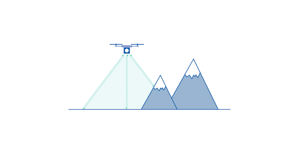
LiDAV Applications
LiDAV sensors are suitable for a variety of applications based on the applicable range, such as:
- Terrestrial Vehicles – autonomous systems, GNSS-compromised scenarios, defense, underground mining, precision navigation
- Uncrewed Aerial Vehicles (UAV) – lightweight UAVs, drones, fixed-wing gliders, vertical takeoff and landing (VTOL) aircraft, helicopters, navigation, takeoff, landing, situational awareness, GNSS-compromised scenarios, defense
- Fixed-Wing Aircraft – takeoff, landing, situational awareness, hazard avoidance, navigation
- Spacecraft (especially landing vehicles) – takeoff, landing, situational awareness, hazard avoidance, navigation

Implementing LiDAV
LiDAV presents a transformative solution for ranging and velocity measurement across various vehicles. VTOL aircraft and ground vehicles are prime candidates, and with the rise of autonomous vehicles and compatible guidance systems, the precision and versatility offered by LiDAV will expedite the deployment of this technology.
The accuracy in orientation data that the system provides makes it an incredibly valuable navigational aid. Integrating LiDAV with an inertial navigation system (INS) significantly enhances INS dead-reckoning performance.
This combination will elevate autonomous navigation capabilities and establish new benchmarks for navigation, particularly in GNSS-denied environments or situations requiring resilience against degraded or spoofed satellite signals.
LiDAV operates independently of external signals or systems, making it nearly impossible to jam. In addition to its advantages in GNSS-denied scenarios, LiDAV also delivers significant benefits in applications where accurate, real-time knowledge of a vehicle’s ground-relative altitude and orientation is essential.
LiDAV in Space
The innovative U.S.-based space vehicle design and manufacturing company, Intuitive Machines, has chosen Advanced Navigation’s LiDAV technology for use in autonomous lunar landers, exploratory rovers, and drones. These vehicles are part of a fleet contracted by the U.S. National Aeronautics and Space Administration (NASA) as part of the Artemis program aimed at extended lunar exploration.
The Artemis initiative includes the Commercial Lunar Payload Services (CLPS), which focuses on delivering scientific and technological payloads to the lunar surface via Intuitive Machines’ lunar landers.
Read the full article to learn more about LiDAV technology >>


