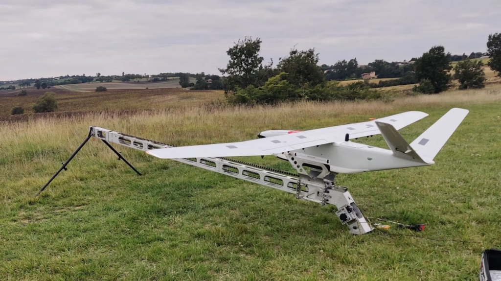
Drone manufacturer DELAIR and LiDAR specialist YellowScan have unveiled the DT46 LiDAR drone, a fixed-wing system designed for long-distance inspections and the creation of highly precise digital twins.
The DT46 model integrates the YellowScan Voyager LiDAR, a high-performance laser scanner, paired with a high-resolution RGB camera. The platform will debut at INTERGEO 2024 in Stuttgart, 24-26 September.
The YellowScan Voyager stands out for its ability to capture data with exceptional precision. Equipped with a laser scanner with a 100° field of view and an acquisition rate of up to 2400 kHz, it offers optimal point density for demanding projects.
DELAIR DT46 Key Features:
- Up to 300 km covered per flight, depending on the take-off mode used (VTOL or catapult)
- Transportable in a pickup and deployable in less than 15 minutes without tools
- Communication range of more than 100 km
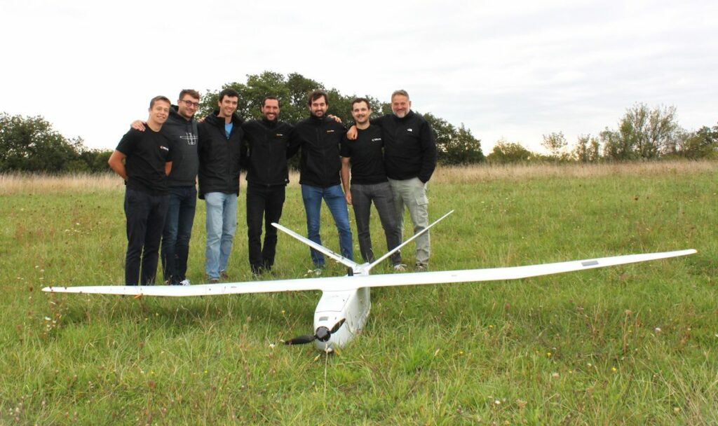
The two companies from the Occitanie region have combined expertise to offer a complete and autonomous solution capable of performing long-distance precise inspections and mapping, from data acquisition by the drone to data processing.
Bastien MANCINI, President of DELAIR, commented, “Precision, high efficiency, excellent cost-effectiveness—we are very excited to integrate the YellowScan Voyager LiDAR system into our DT46 drone and offer near-realistic results and unparalleled high-intensity details.”
Michel ASSENBAUM, President of YellowScan, commented, “With its long endurance, payload capacity, ease of use, and robustness, the DT46 LiDAR will revolutionize industrial infrastructure inspection missions and topographical survey.”
Visit YellowScan at INTERGEO 2024 in Stuttgart, Hall 1, Booth G1.059.


