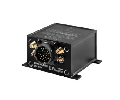
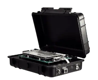
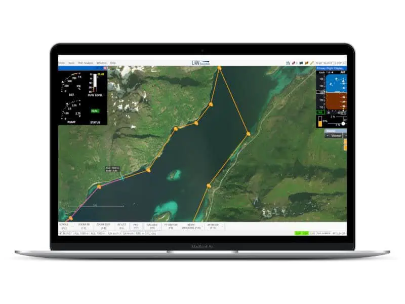
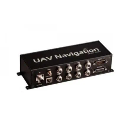
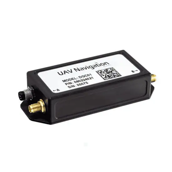
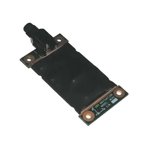
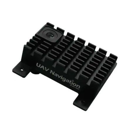
The POLAR-500 is a combined Air Data and Attitude Heading Reference System that also incorporates a dual GNSS compass, providing precise attitude and heading estimation capabilities for both static and dynamic applications, and delivering azimuth and elevation angles through an ARINC 429 standard output. The system provides excellent performance under GNSS-denied conditions, and is also ideal for providing stabilization and pointing capabilities for UAV SATCOM antennas.
With redundant IMUs, the system is highly resistant to individual sensor failures. Featuring sophisticated aerospace-grade sensor fusion algorithms, it utilizes the highest possible data rates from the sensors in order to minimize latency. The compact and low-power unit is packaged in a rugged aluminium enclosure, and is easily integrated into a wide range of platforms.
Specifications:
| Dimensions (H x W x L): | 45 x 68 x 75 mm |
| Weight: | 170g |
| Power: |
9-36 VDC <2W @ 12 VDC |
| AHRS/INS Position Accuracy: | 1.5 m CEP, GNSS |
| AHRS/INS Error: |
Pitch & Roll error < 0.5ᵒ Heading error < 1ᵒ |
| Heading Accuracy: | < 0.4ᵒ Static/Dynamic |
| GNSS Receiver: | 184 Channel, L1C/A, L2C, L1OF, L2OF, E1B/C, E5b, B1I, B2I, L1S |


